Road Stream Crossing Site BEAR_BC048
Bear Creek Watershed, Williamson Creek
Big Four Rd/Co Rd 602
Maple Grove Twp,
Manistee County
Information collected by:
Site Location
GPS Coordinates: 44.37247
, -86.06088
T23N
R14W
Sec 19
Owned by Private
Fish Passability 0.5
Structure is NOT Perched
Total Erosion: 0.0845 tons/year
Severity: Moderate
Year Inventoried: 2011
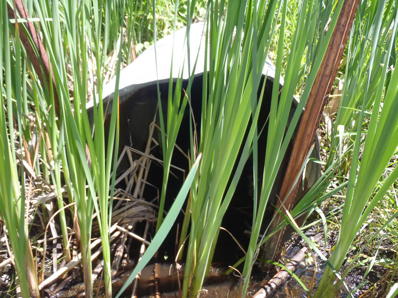
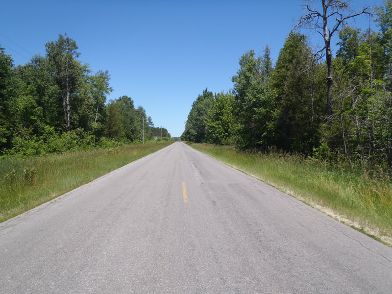
Inlet
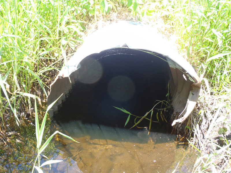
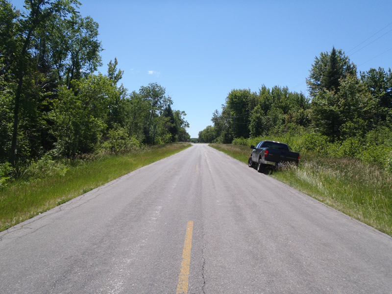
Outlet
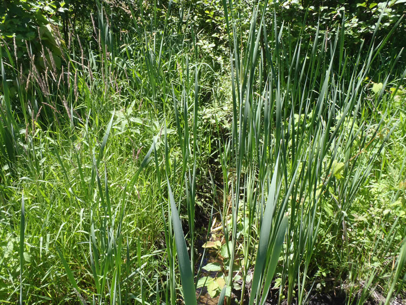
Upstream Conditions
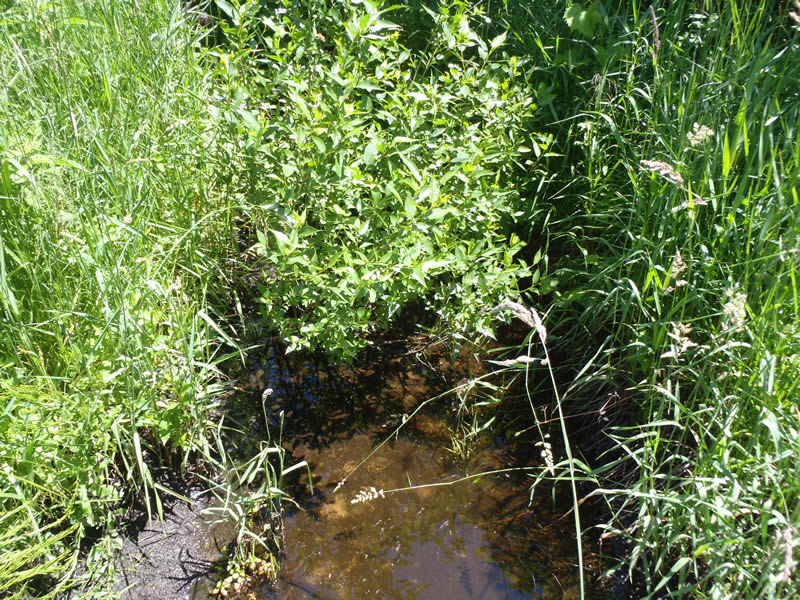
Downstream Conditions
Road Approach - Left
Road Approach - Right
Crossing Information
Type of Crossing: culvert(s)
Number of Structures: 1
Structure Shape: Round
Inlet Type: Projecting
Outlet Type: At Stream Grade
Structure Material: Metal
Structure Substrate: None
General Conditions: Poor
Structure Interior: corrugated
Structure is Rusted through
Dimensions of Structure: Length 55 ft.
, Width 2.5 ft.
, Height 2.5 ft.
Percentage Crushed:
Inlet: 1% to 25%
Structure is NOT Perched
Structure Inlet
Water Depth: 0.44 ft.
Embedded Depth of Structure: 0 ft.
Water Velocity*: 0.05 ft./sec.
Structure Outlet
Water Depth: 0.74 ft.
Embedded Depth of Structure: 0 ft.
Water Velocity*: 0 ft./sec.
*Water Velocities were measured 0.3 ft. below Surface
(with Meter)
Additional Comments
Intermitten Stream with diminishing flow at inlet and stagnant pool at outlet
Stream Information
Stream Flow: Less than 1/2 Bankfull
Riffle Information
Water Depth: 0.5 ft.
Bankfull Width: 4 ft.
Wetted Width: 3.1 ft.
Water Velocity: 0 ft./sec.
(Measured with Meter)
Dominant Substrate: Organics
Road Information
Paved
County Road
Road Condition: Good
Road Width at Culvert: 28 ft.
Location of Low Point: At Stream
Runoff Path: Ditch
Embankments
Upstream
Fill Depth: 3.5 ft.
Slope: 1:1
Downstream
Fill Depth: 3.8 ft.
Slope: 1:1
Approaches
Left Approach
Length: 1000 ft.
Slope: Less Than 1%
Vegetation: Heavy
LS Factor: 0.05
Erosion: 0.0463 tons/year
Right Approach
Length: 825 ft.
Slope: Less Than 1%
Vegetation: Heavy
LS Factor: 0.05
Erosion: 0.0382 tons/year
Erosion Information
Total Erosion at Crossing: 0.0845 tons/year
Summary Information
Fish Passability 0.5
�