Road Stream Crossing Site BEAR_BC050
Bear Creek Watershed, Horseshoe Creek
Horseshoe Creek Rd
Maple Grove Twp,
Manistee County
Information collected by:
Site Location
GPS Coordinates: 44.37433
, -86.05004
T23N
R14W
Sec 19
Owned by Private
Structure is NOT Perched
Total Erosion: 2.7538 tons/year
Severity: Severe
Year Inventoried: 2011
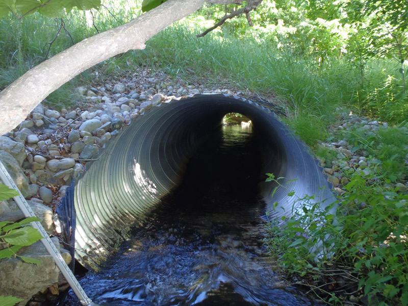
Inlet
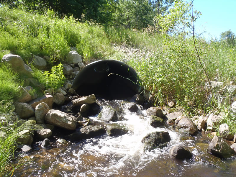
Outlet
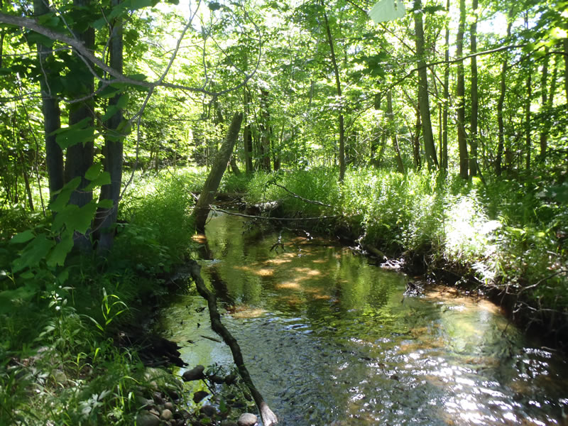
Upstream Conditions
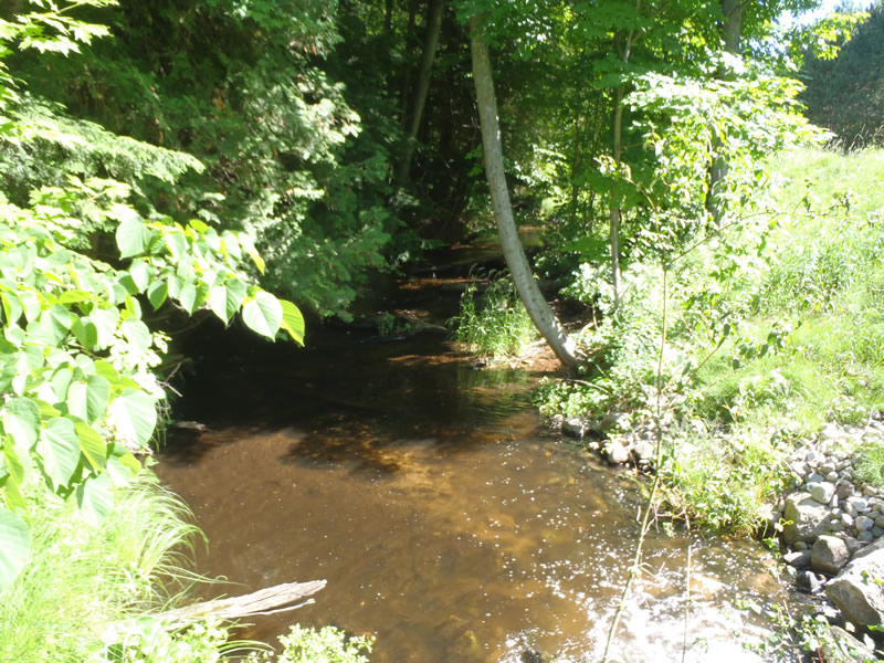
Downstream Conditions
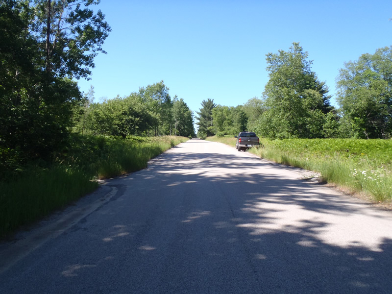
Road Approach - Left
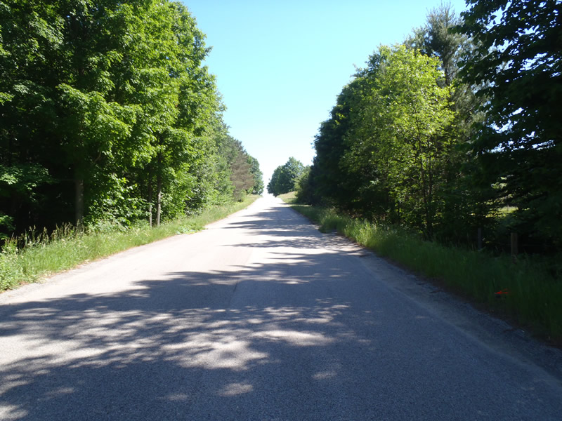
Road Approach - Right
Crossing Information
Type of Crossing: culvert(s)
Number of Structures: 1
Structure Shape: Ellipse
Inlet Type: Mitered
Outlet Type: Cascade over Riprap
Structure Material: Metal
Structure Substrate: None
General Conditions: Good
Structure Interior: corrugated
Dimensions of Structure: Length 70 ft.
, Width 6 ft.
, Height 4.6 ft.
Structure is NOT Perched
Structure Inlet
Water Depth: 0.4 ft.
Embedded Depth of Structure: 0 ft.
Water Velocity*: 4.3 ft./sec.
Structure Outlet
Water Depth: 1.18 ft.
Embedded Depth of Structure: 0 ft.
Water Velocity*: 2.3 ft./sec.
*Water Velocities were measured 0.3 ft. below Surface
(with Meter)
Additional Comments
1) The left approach is paved for 240 ft and then turns to gravel 2) The Rip-Rap cascade drops the stream about 2.5 ft
Stream Information
Stream Flow: Less than Bankfull
Riffle Information
Water Depth: 0.41 ft.
Bankfull Width: 14 ft.
Wetted Width: 12.8 ft.
Water Velocity: 2.2 ft./sec.
(Measured with Meter)
Dominant Substrate: Gravel
Road Information
Paved
County Road
Road Condition: Good
Road Width at Culvert: 26 ft.
Location of Low Point: At Stream
Runoff Path: Roadway
Embankments
Upstream
Fill Depth: 2 ft.
Slope: More than 1:2
Downstream
Fill Depth: 3.3 ft.
Slope: More than 1:2
Approaches
Left Approach
Length: 240 ft.
Slope: Less Than 1%
Vegetation: Heavy
LS Factor: 2.05
Erosion: 1.762 tons/year
Right Approach
Length: 500 ft.
Slope: 1% to 5%
Vegetation: Heavy
LS Factor: 1.781
Erosion: 0.9918 tons/year
Erosion Information
Total Erosion at Crossing: 2.7538 tons/year
Extent of Erosion: Stabilized
Summary Information
Erosion is an area of concern for this site.
�