Road Stream Crossing Site BEAR_BC053
Bear Creek Watershed, Beaver Creek
Jouppi Rd
Maple Grove Twp,
Manistee County
Information collected by:
Site Location
GPS Coordinates: 44.37349
, -86.03006
T23N
R14W
Sec 20
Owned by Private
Perch Height: 1.5 ft.
Total Erosion: 1.6066 tons/year
Severity: Severe
Year Inventoried: 2011
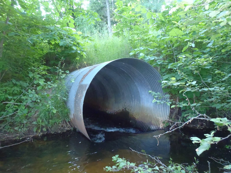
Inlet
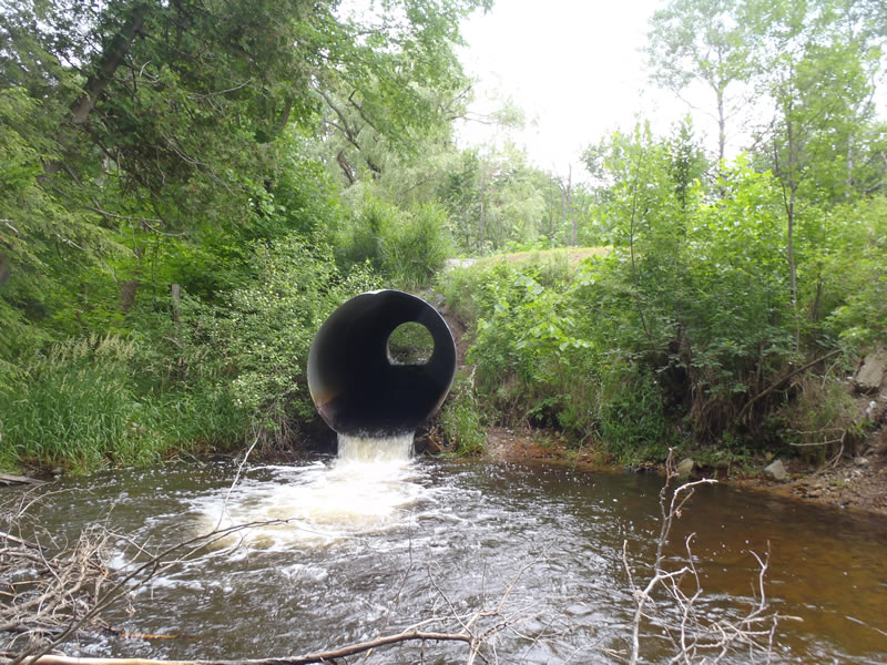
Outlet
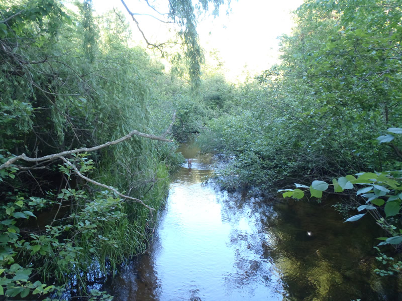
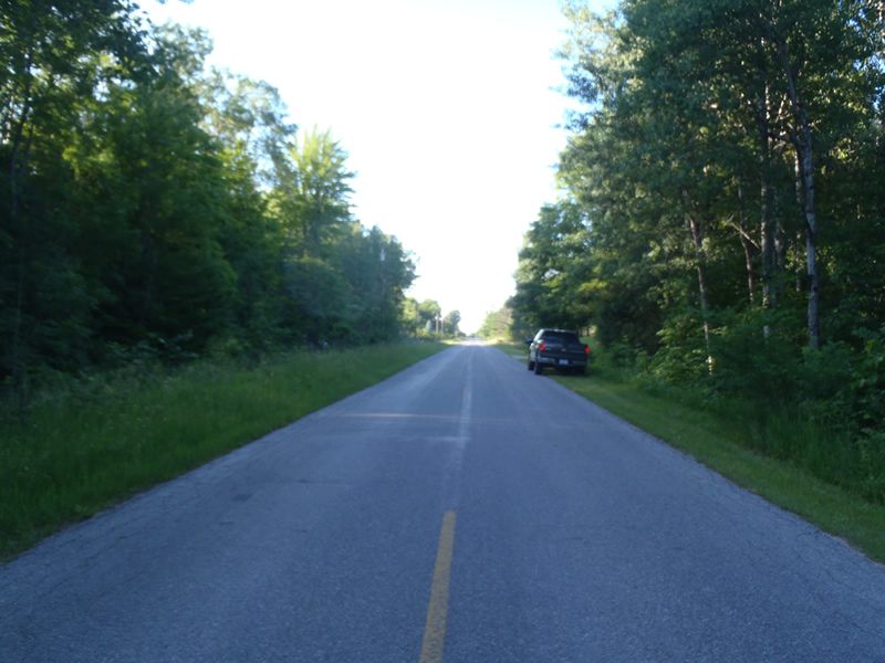
Upstream Conditions
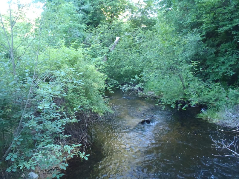
Downstream Conditions
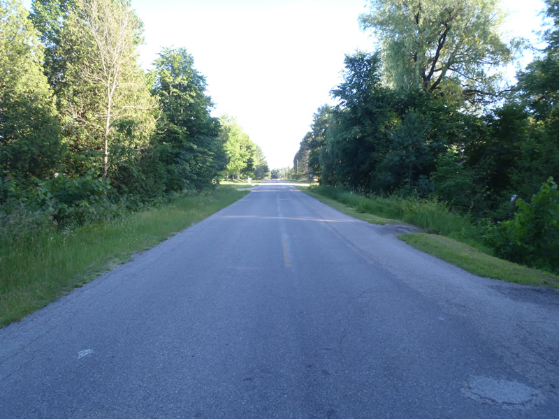
Road Approach - Left
Road Approach - Right
Crossing Information
Type of Crossing: culvert(s)
Number of Structures: 1
Structure Shape: Round
Inlet Type: Projecting
Outlet Type: Freefall into Pool
Structure Material: Metal
Structure Substrate: None
General Conditions: Fair
Structure Interior: corrugated
Structure is Rusted through
Dimensions of Structure: Length 70 ft.
, Width 7 ft.
, Height 7 ft.
Perch Height: 1.5 ft.
Structure Inlet
Water Depth: 1.45 ft.
Embedded Depth of Structure: 0 ft.
Water Velocity*: 2.2 ft./sec.
Structure Outlet
Water Depth: 0.5 ft.
Embedded Depth of Structure: 0 ft.
Water Velocity*: 7.7 ft./sec.
*Water Velocities were measured 0.3 ft. below Surface
(with Meter)
Stream Information
Stream Flow: Less than Bankfull
Scour Pool: Length 30 ft.
, Width 30 ft.
, Depth 4 ft.
Riffle Information
Water Depth: 0.85 ft.
Bankfull Width: 17.7 ft.
Wetted Width: 13.3 ft.
Water Velocity: 2.6 ft./sec.
(Measured with Meter)
Dominant Substrate: Gravel
Road Information
Paved
County Road
Road Condition: Good
Road Width at Culvert: 25 ft.
Location of Low Point: At Stream
Runoff Path: Roadway
Embankments
Upstream
Fill Depth: 2.7 ft.
Slope: More than 1:2
Downstream
Fill Depth: 3 ft.
Slope: More than 1:2
Approaches
Left Approach
Length: 450 ft.
Slope: Less Than 1%
Vegetation: Heavy
LS Factor: 0.05
Erosion: 0.0413 tons/year
Right Approach
Length: 320 ft.
Slope: Less Than 1%
Vegetation: Heavy
LS Factor: 0.05
Erosion: 0.0413 tons/year
Erosion Information
Total Erosion at Crossing: 1.6066 tons/year
Extent of Erosion: Very Severe
Erosion is occurring and corrective actions can be installed to address the problem.
Notes:
The embankments are unstable resulting in erosion and a large scour pool has formed at outlet.
Location of Erosion | Erosion Dimensions | Eroded Material | Material Eroded | Total Erosion | ||
facing downstream | Length | Width | Depth | Reaching Stream? | (tons/year) | |
Left Upstream Embankment |
11 ft. |
2 ft. |
0.5 ft. |
yes |
Sandy Loam |
0.132 |
Left Downstream Embankment |
14 ft. |
2 ft. |
2 ft. |
yes |
Sandy Loam |
0.672 |
Left Downstream Ditch |
15 ft. |
2 ft. |
2 ft. |
yes |
Sandy Loam |
0.72 |
Summary Information
Fish Passage is an area of concern for this site.
This site should also be a priority due to erosion.
�