Road Stream Crossing Site BEAR_BC054
Bear Creek Watershed, Halls Creek
Jouppi Rd
Maple Grove Twp,
Manistee County
Information collected by:
Site Location
GPS Coordinates: 44.39529
, -86.03015
T23N
R14W
Sec 17
Owned by Private
Structure is NOT Perched
Total Erosion: 5.2441 tons/year
Severity: Minor
Year Inventoried: 2011
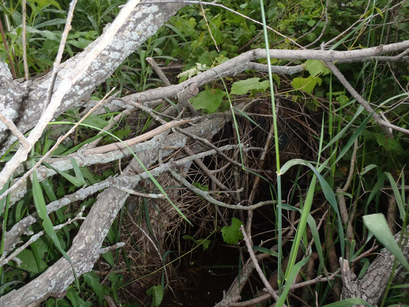
Inlet
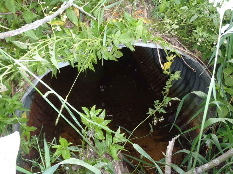
Outlet
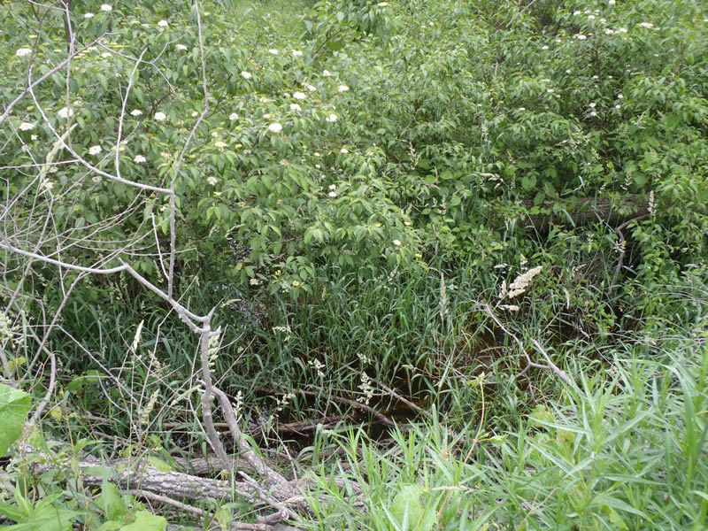
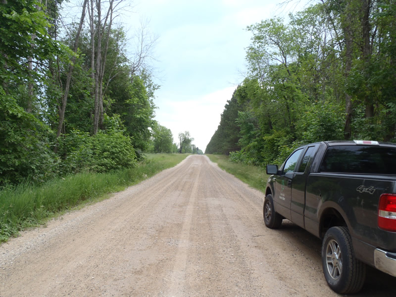
Upstream Conditions
Downstream Conditions
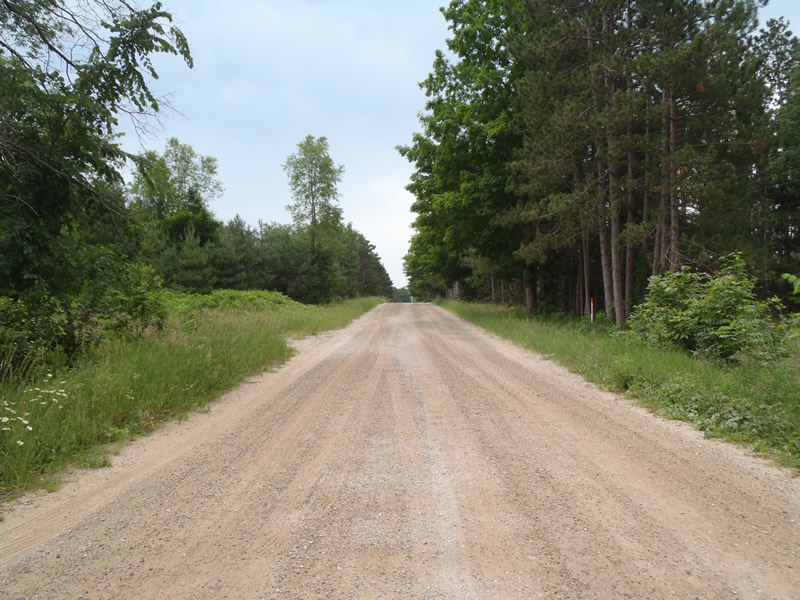
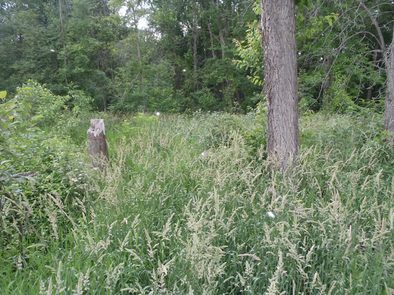
Road Approach - Left
Road Approach - Right
Crossing Information
Type of Crossing: culvert(s)
Number of Structures: 1
Structure Shape: Ellipse
Inlet Type: Projecting
Outlet Type: At Stream Grade
Structure Material: Metal
Structure Substrate: Mixture
General Conditions: Fair
Structure Interior: corrugated
Dimensions of Structure: Length 40 ft.
, Width 3.7 ft.
, Height 2.8 ft.
Structure is NOT Perched
Structure Inlet
Water Depth: 0.4 ft.
Embedded Depth of Structure: 0 ft.
Water Velocity*: 0 ft./sec.
Structure Outlet
Water Depth: 0.3 ft.
Embedded Depth of Structure: 0 ft.
Water Velocity*: 0 ft./sec.
*Water Velocities were measured 0.18 ft. below Surface
(with Meter)
Additional Comments
Marsh conditions both upstream and downstream preventing the collection of riffle information.
Stream Information
Stream Flow: None
Dominant Substrate: Organics
Road Information
Gravel
County Road
Road Condition: Good
Road Width at Culvert: 25 ft.
Location of Low Point: At Stream
Runoff Path: Ditch
Embankments
Upstream
Fill Depth: 3.5 ft.
Slope: Vertical
Downstream
Fill Depth: 3.2 ft.
Slope: Vertical
Approaches
Left Approach
Length: 400 ft.
Slope: Less Than 1%
Vegetation: Heavy
LS Factor: 0.48
Erosion: 1.3185 tons/year
Right Approach
Length: 1000 ft.
Slope: Less Than 1%
Vegetation: Heavy
LS Factor: 0.57
Erosion: 3.9256 tons/year
Erosion Information
Total Erosion at Crossing: 5.2441 tons/year
Extent of Erosion: Minor
Summary Information
Erosion is an area of concern for this site.
�