Road Stream Crossing Site BEAR_BC093
Bear Creek Watershed, Chicken Creek
High Bridge Rd (County Road 669)
Dickson Twp,
Manistee County
Information collected by:
Site Location
GPS Coordinates: 44.33416
, -86.02087
T22N
R14W
Sec 4
Owned by Private
Perch Height: 0.3 ft.
Total Erosion: 0.6559 tons/year
Severity: Severe
Year Inventoried: 2011
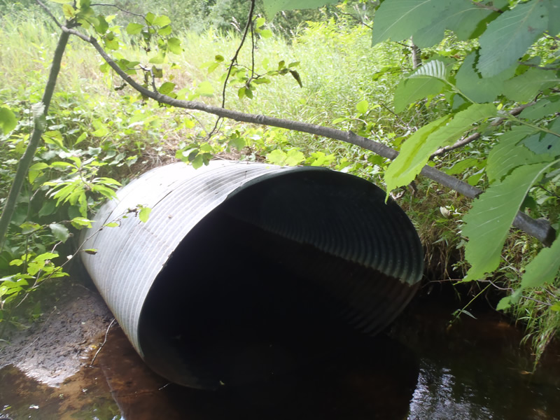
Inlet
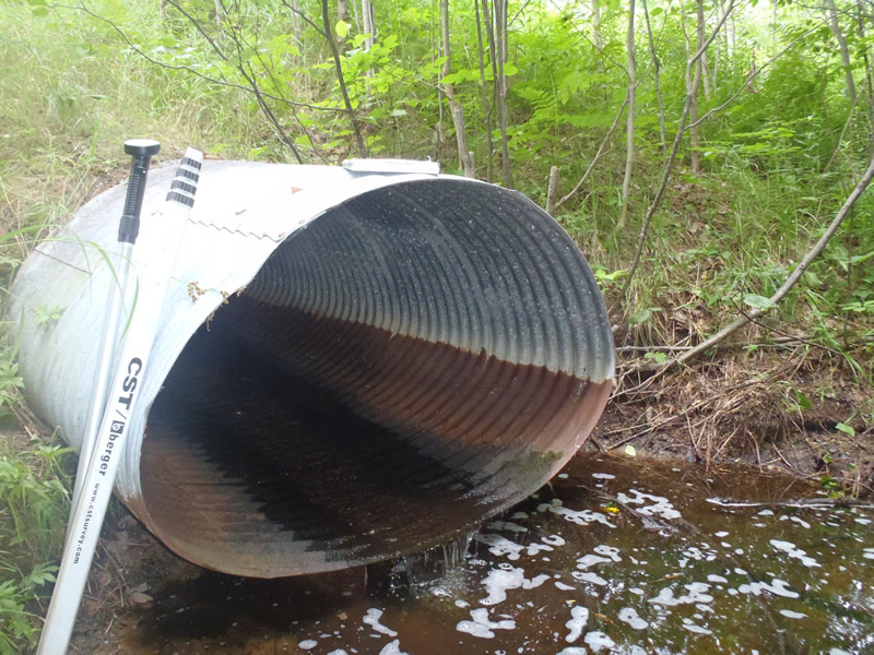
Outlet
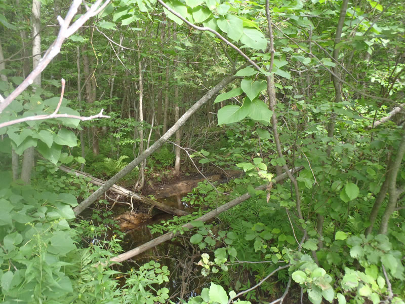
Upstream Conditions
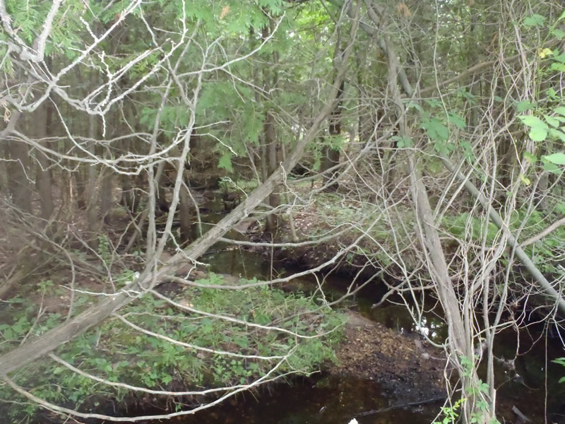
Downstream Conditions
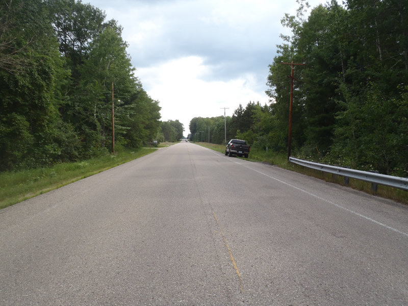
Road Approach - Left
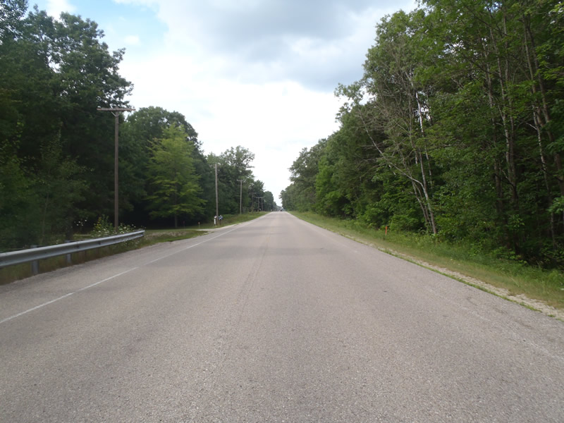
Road Approach - Right
Crossing Information
Type of Crossing: culvert(s)
Number of Structures: 1
Structure Shape: Ellipse
Inlet Type: Projecting
Outlet Type: Freefall into Pool
Structure Material: Metal
Structure Substrate: None
General Conditions: Fair
Structure Interior: corrugated
Dimensions of Structure: Length 60 ft.
, Width 5.4 ft.
, Height 3.4 ft.
Perch Height: 0.3 ft.
Structure Inlet
Water Depth: 0.22 ft.
Embedded Depth of Structure: 0 ft.
Water Velocity*: 0.1 ft./sec.
Structure Outlet
Water Depth: 0.1 ft.
Embedded Depth of Structure: 0 ft.
Water Velocity*: 0.2 ft./sec.
*Water Velocities were measured at the Surface
(with Meter)
Additional Comments
The inlet is just at stream grade.
Stream Information
Stream Flow: Less than Bankfull
Scour Pool: Length 8 ft.
, Width 5 ft.
, Depth 1.4 ft.
Riffle Information
Water Depth: 0.29 ft.
Bankfull Width: 8.2 ft.
Wetted Width: 5.4 ft.
Water Velocity: 0.1 ft./sec.
(Measured with Meter)
Dominant Substrate: Sand
Road Information
Paved
County Road
Road Condition: Good
Road Width at Culvert: 32 ft.
Location of Low Point: At Stream
Runoff Path: Ditch
Embankments
Upstream
Fill Depth: 2.5 ft.
Slope: More than 1:2
Downstream
Fill Depth: 5.8 ft.
Slope: More than 1:2
Approaches
Left Approach
Length: 0 ft.
Slope: Less Than 1%
Vegetation: Heavy
LS Factor: 0.57
Erosion: 0.603 tons/year
Right Approach
Length: 1000 ft.
Slope: Less Than 1%
Vegetation: Heavy
LS Factor: 0.05
Erosion: 0.0529 tons/year
Erosion Information
Total Erosion at Crossing: 0.6559 tons/year
Extent of Erosion: Minor
Summary Information
Erosion is an area of concern for this site.
�