Road Stream Crossing Site BEAR_BC046
Bear Creek Watershed, Tributary of Big Bear Creek
Big Four Rd/Co Rd 602
Maple Grove Twp,
Manistee County
Information collected by:
Site Location
GPS Coordinates: 44.39657
, -86.06024
T23N
R14W
Sec 18
Owned by Private
Structure is NOT Perched
Total Erosion: 0.0826 tons/year
Severity: Minor
Year Inventoried: 2011
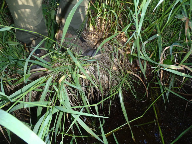
Inlet
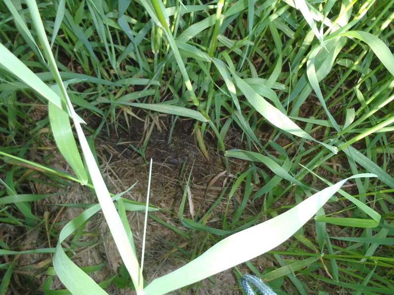
Outlet
Upstream Conditions
Downstream Conditions
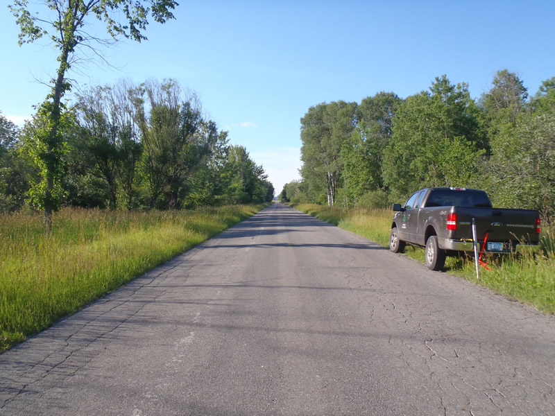
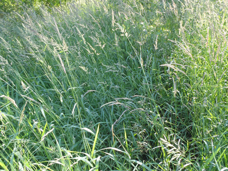
Road Approach - Left
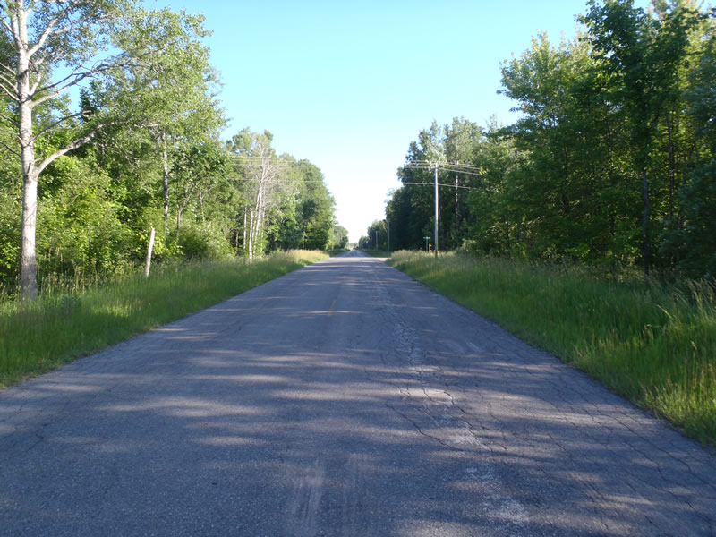
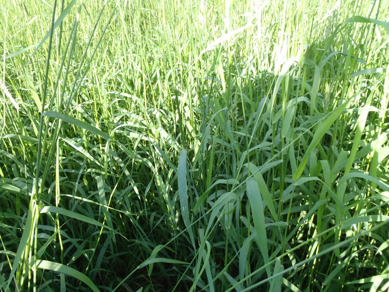
Road Approach - Right
Crossing Information
Type of Crossing: culvert(s)
Number of Structures: 1
Structure Shape: Round
Inlet Type: Projecting
Outlet Type: At Stream Grade
Structure Material: Metal
Structure Substrate: None
General Conditions: Fair
Structure Interior: corrugated
Dimensions of Structure: Length 50 ft.
, Width 1.5 ft.
, Height 1.5 ft.
Structure is NOT Perched
Structure Inlet
Water Depth: 0.93 ft.
Embedded Depth of Structure: 0 ft.
Water Velocity*: 0 ft./sec.
Water Depth: 0 ft.
Embedded Depth of Structure: 0 ft.
Water Velocity*: 0 ft./sec.
*Water Velocities were measured at the Surface
(with Meter)
Additional Comments
1) Intermittent stream dry at the time of data collection. 2) Small stagnant water pool at inlet 3) Exact location of outlet could not be determined.
Stream Information
Stream Flow: None
Dominant Substrate: Sand
Road Information
Paved
County Road
Road Condition: Fair
Road Width at Culvert: 25 ft.
Location of Low Point: At Stream
Runoff Path: Ditch
Embankments
Upstream
Fill Depth: 5 ft.
Slope: 1:1
Downstream
Fill Depth: 5 ft.
Slope: 1:1
Approaches
Left Approach
Length: 1000 ft.
Slope: Less Than 1%
Vegetation: Heavy
LS Factor: 0.05
Erosion: 0.0413 tons/year
Right Approach
Length: 1000 ft.
Slope: Less Than 1%
Vegetation: Heavy
LS Factor: 0.05
Erosion: 0.0413 tons/year
Erosion Information
Total Erosion at Crossing: 0.0826 tons/year
Extent of Erosion: Moderate
Summary Information
Erosion is an area of concern for this site.
�