Road Stream Crossing Site BEAR_BC047
Bear Creek Watershed, Horseshoe Creek
Big Four Rd/Co Rd 602
Maple Grove Twp,
Manistee County
Information collected by:
Site Location
GPS Coordinates: 44.37929
, -86.06037
T23N
R14W
Sec 19
Owned by Private
Structure is NOT Perched
Total Erosion: 0.0992 tons/year
Severity: Moderate
Year Inventoried: 2011
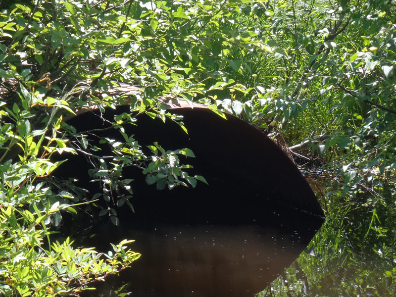
Inlet
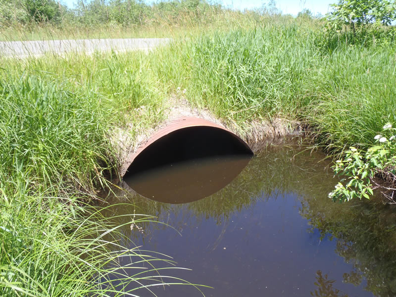
Outlet
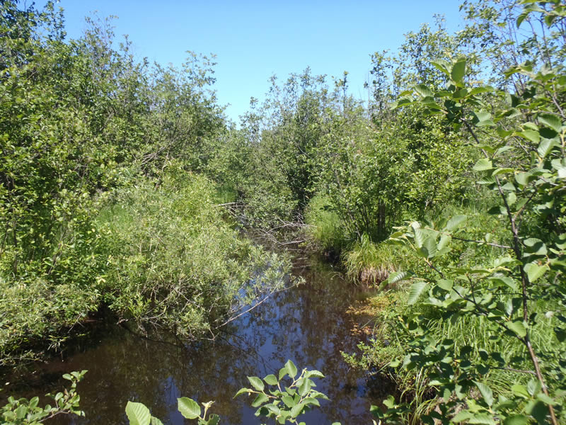
Upstream Conditions
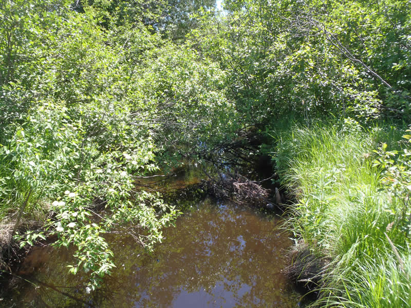
Downstream Conditions
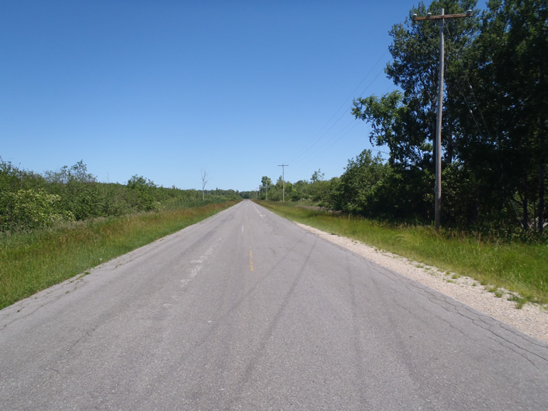
Road Approach - Left
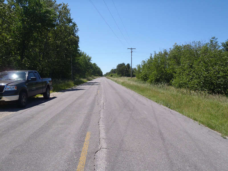
Road Approach - Right
Crossing Information
Type of Crossing: culvert(s)
Number of Structures: 1
Structure Shape: Pipe Arch
Inlet Type: Projecting
Outlet Type: At Stream Grade
Structure Material: Metal
Structure Substrate: None
General Conditions: Fair
Structure Interior: corrugated
Dimensions of Structure: Length 60 ft.
, Width 6 ft.
, Height 3.6 ft.
Structure is NOT Perched
Structure Inlet
Water Depth: 1.91 ft.
Embedded Depth of Structure: 0 ft.
Water Velocity*: 0.3 ft./sec.
Structure Outlet
Water Depth: 2.02 ft.
Embedded Depth of Structure: 0 ft.
Water Velocity*: 0.3 ft./sec.
*Water Velocities were measured 1.2 ft. below Surface
(with Meter)
Additional Comments
1) Stream has been ditched 2) Culvert is highly rusted but no holes have developed yet.
Stream Information
Stream Flow: Less than Bankfull
Riffle Information
Water Depth: 0.9 ft.
Bankfull Width: 13.8 ft.
Wetted Width: 12.5 ft.
Water Velocity: 0.7 ft./sec.
(Measured with Meter)
Dominant Substrate: Gravel
Road Information
Paved
County Road
Road Condition: Good
Road Width at Culvert: 30 ft.
Location of Low Point: At Stream
Runoff Path: Ditch
Embankments
Upstream
Fill Depth: 3 ft.
Slope: 1:1.5
Downstream
Fill Depth: 3.1 ft.
Slope: 1:1
Approaches
Left Approach
Length: 1000 ft.
Slope: Less Than 1%
Vegetation: Heavy
LS Factor: 0.05
Erosion: 0.0496 tons/year
Right Approach
Length: 1000 ft.
Slope: Less Than 1%
Vegetation: Heavy
LS Factor: 0.05
Erosion: 0.0496 tons/year
Erosion Information
Total Erosion at Crossing: 0.0992 tons/year
Extent of Erosion: Moderate
Summary Information
Erosion is an area of concern for this site.
�