Road Stream Crossing Site BEAR_BC033
Bear Creek Watershed, Tributary of Lemon Creek
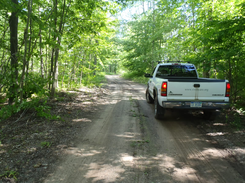
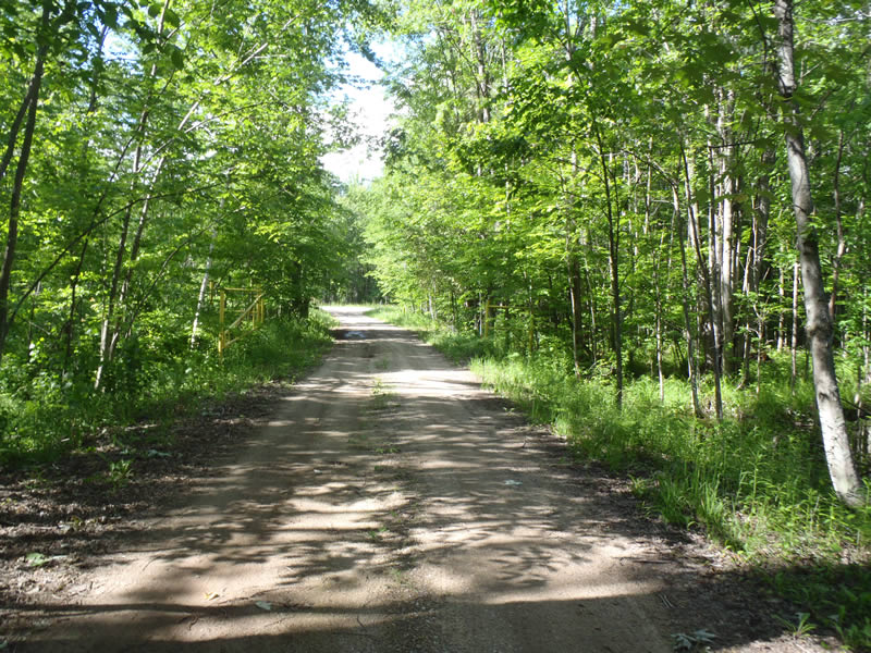
Unimproved Road South of 13 Mile Rd
Maple Grove Twp,
Manistee County
Information collected by:
Site Location
GPS Coordinates: 44.4273
, -86.03461
T23N
R14W
Sec 5
Owned by Private
Structure is NOT Perched
Total Erosion: 0.1042 tons/year
Severity: Minor
Year Inventoried: 2011
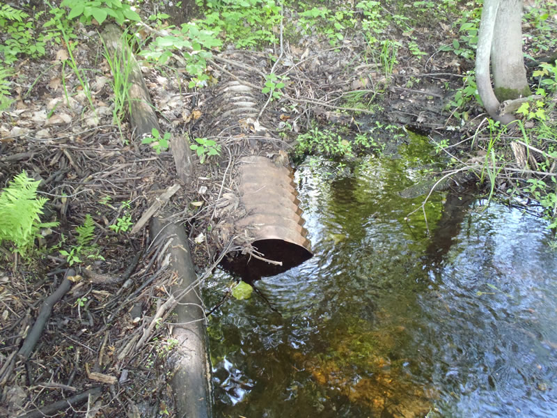
Inlet
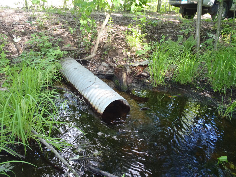
Outlet
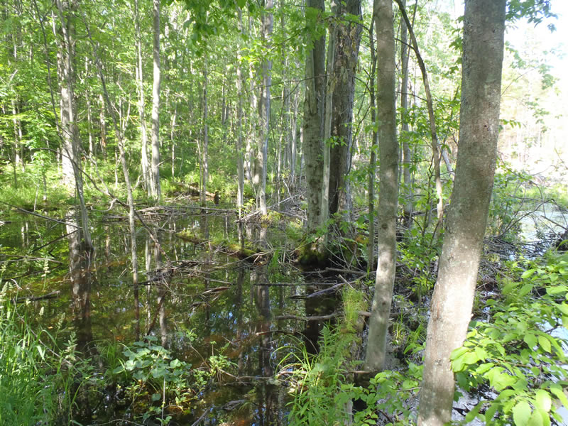
Upstream Conditions
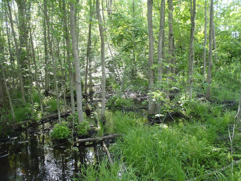
Downstream Conditions
Road Approach - Left
Road Approach - Right
Crossing Information
Type of Crossing: culvert(s)
Number of Structures: 1
Structure Shape: Round
Inlet Type: Projecting
Outlet Type: At Stream Grade
Structure Material: Metal
Structure Substrate: Mixture
General Conditions: Fair
Structure Interior: corrugated
Dimensions of Structure: Length 40 ft.
, Width 1 ft.
, Height 1 ft.
Structure is NOT Perched
Structure Inlet
Water Depth: 0.56 ft.
Embedded Depth of Structure: 0 ft.
Water Velocity*: 0.8 ft./sec.
Structure Outlet
Water Depth: 0.39 ft.
Embedded Depth of Structure: 0 ft.
Water Velocity*: 0.9 ft./sec.
*Water Velocities were measured 0.34 ft. below Surface
(with Meter)
Stream Information
Stream Flow: Less than Bankfull
Scour Pool: Length 9 ft.
, Width 4 ft.
, Depth 1.25 ft.
Dominant Substrate: Organics
Road Information
Gravel
Private Road
(Seasonal)
Road Condition: Fair
Road Width at Culvert: 17 ft.
Location of Low Point: At Stream
Runoff Path: Ditch
Embankments
Upstream
Fill Depth: 3.5 ft.
Slope: Vertical
Downstream
Fill Depth: 3.3 ft.
Slope: Vertical
Approaches
Left Approach
Length: 100 ft.
Slope: Less Than 1%
Vegetation: Partial
LS Factor: 0.05
Erosion: 0.0234 tons/year
Right Approach
Length: 345 ft.
Slope: Less Than 1%
Vegetation: Partial
LS Factor: 0.05
Erosion: 0.0808 tons/year
Erosion Information
Total Erosion at Crossing: 0.1042 tons/year
Extent of Erosion: Minor
Notes: Embankment lacks begetation for stabilization
Summary Information
�