Road Stream Crossing Site BEAR_BC031
Bear Creek Watershed, Lemon Creek
Unimproved Road South of 13 Mile Rd
Maple Grove Twp,
Manistee County
Information collected by:
Site Location
GPS Coordinates: 44.42851
, -85.99872
T23N
R14W
Sec 3
Owned by State
Structure is NOT Perched
Total Erosion: 0.289 tons/year
Severity: Minor
Year Inventoried: 2011
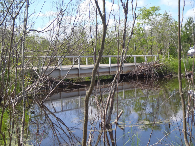
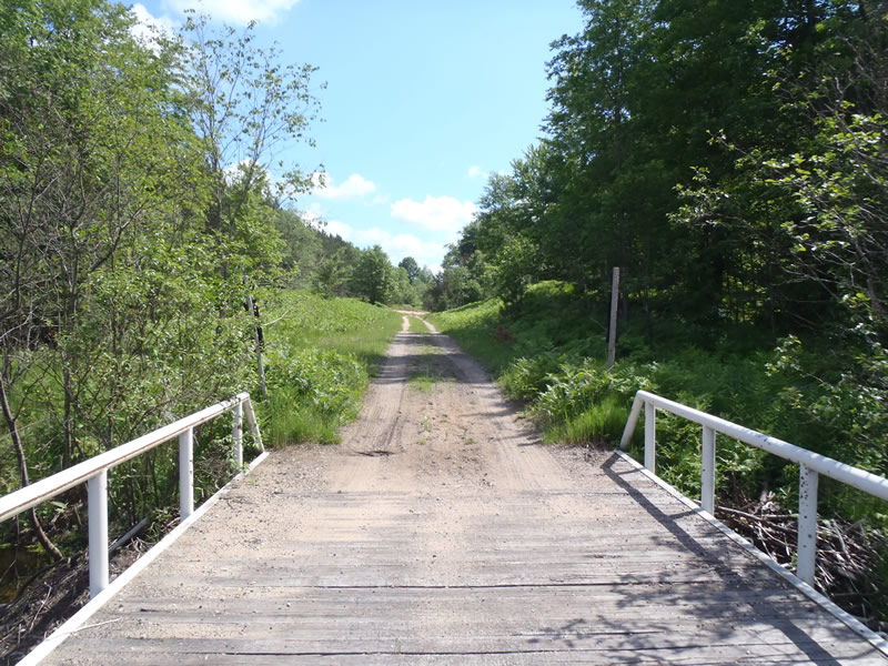
Inlet
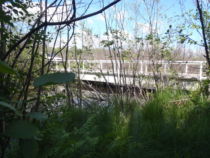
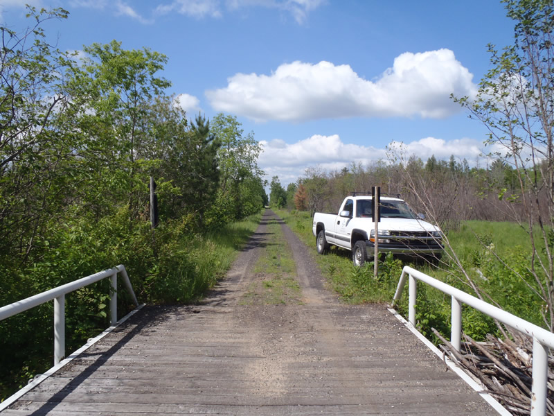
Outlet
Upstream Conditions
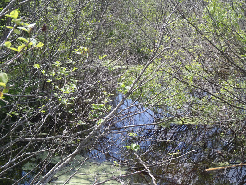
Downstream Conditions
Road Approach - Left
Road Approach - Right
Crossing Information
Type of Crossing: Bridge
Structure Shape: Open Bottom Square/Rectangle
Inlet Type: Other
Outlet Type: At Stream Grade
Structure Material: Metal
Structure Substrate: Mixture
General Conditions: Poor
Structure Interior: smooth
Dimensions of Structure: Length 13 ft.
, Width 50 ft.
, Height 3 ft.
Structure is NOT Perched
Structure Inlet
Water Depth: 2.05 ft.
Embedded Depth of Structure: 0 ft.
Water Velocity*: 0.05 ft./sec.
Structure Outlet
Water Depth: 1.8 ft.
Embedded Depth of Structure: 0 ft.
Water Velocity*: 0.05 ft./sec.
*Water Velocities were measured 1.08 ft. below Surface
(with Meter)
Additional Comments
1) An active beaver lodge is located at bridge.
2) The wood deck of the bridge is failing. Two holes have developed one on either side of the bridge. The holes are allowing direct sediment input into the stream.
3) Riffle information could not be obtained because both upstream and downstream conditions were that of a marsh.
Stream Information
Stream Flow: Less than Bankfull
Dominant Substrate: Organics
Road Information
Gravel
State Road
(Seasonal)
Road Condition: Fair
Road Width at Culvert: 13 ft.
Location of Low Point: Other
Runoff Path: Roadway
Fill Depth: 0 ft.
Slope: 1:1
Fill Depth: 0 ft.
Slope: 1:1
Approaches
Left Approach
Length: 666 ft.
Slope: Less Than 1%
Vegetation: Heavy
LS Factor: 0.05
Erosion: 0.1193 tons/year
Right Approach
Length: 948 ft.
Slope: Less Than 1%
Vegetation: Heavy
LS Factor: 0.05
Erosion: 0.1698 tons/year
Erosion Information
Total Erosion at Crossing: 0.289 tons/year
Summary Information
�