Road Stream Crossing Site BEAR_BC032
Bear Creek Watershed, Tributary of Lemon Creek
Unimproved State Forest Rd North of 13 Mile Rd
Springdale Twp,
Manistee County
Information collected by:
Site Location
GPS Coordinates: 44.43696
, -86.02962
T24N
R14W
Sec 32
Owned by State
Fish Passability 0.5
Structure is NOT Perched
Total Erosion: 0.3604 tons/year
Severity: Moderate
Year Inventoried: 2011
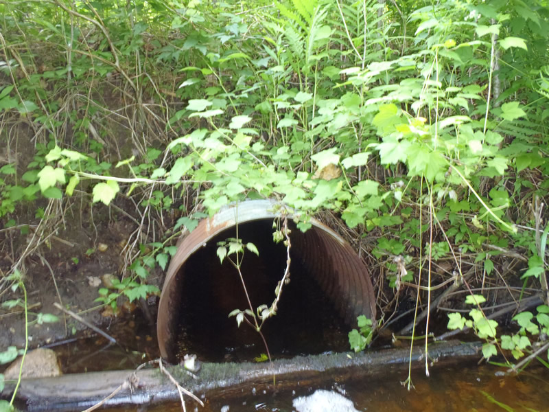
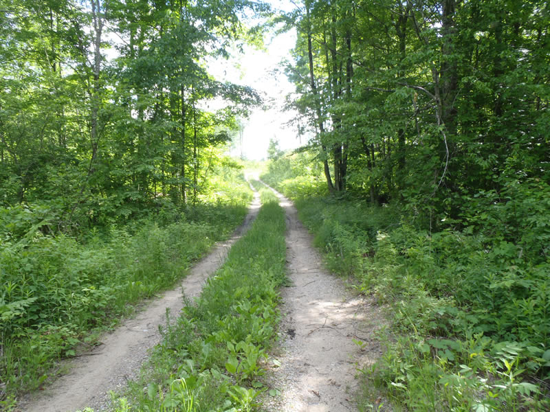
Inlet
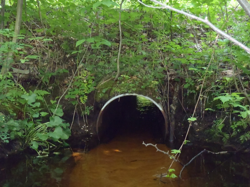
Outlet
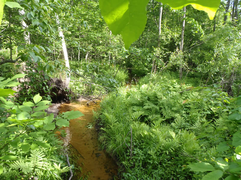
Upstream Conditions
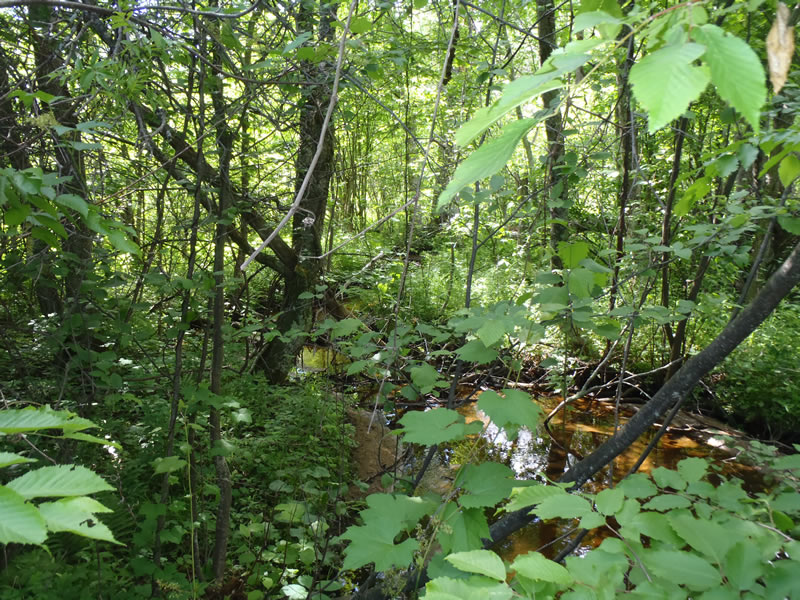
Downstream Conditions
Road Approach - Left
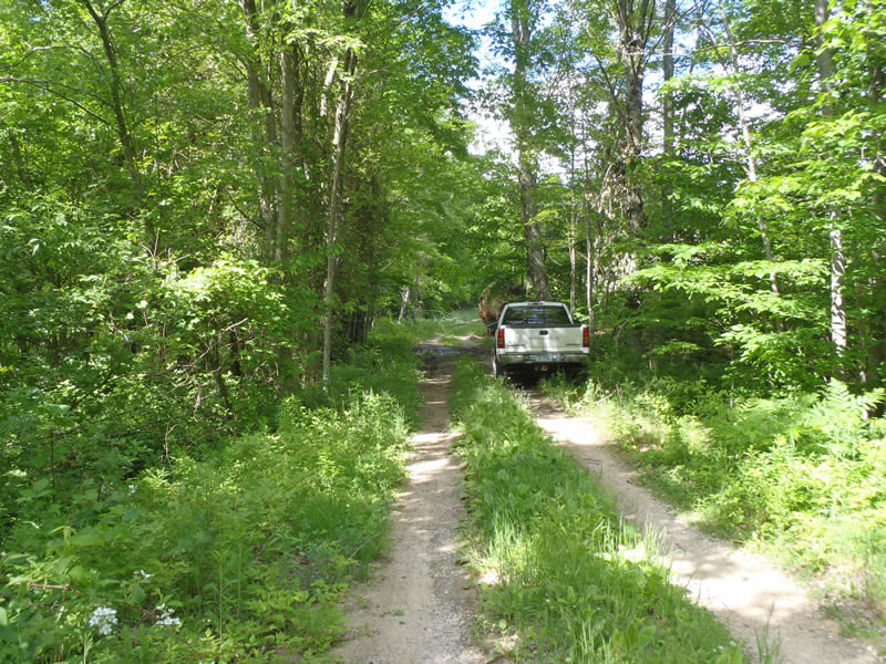
Road Approach - Right
Crossing Information
Type of Crossing: culvert(s)
Number of Structures: 1
Structure Shape: Round
Inlet Type: Projecting
Outlet Type: At Stream Grade
Structure Material: Metal
Structure Substrate: None
General Conditions: Poor
Structure Interior: corrugated
Structure is Rusted through
Dimensions of Structure: Length 30 ft.
, Width 2 ft.
, Height 2 ft.
Percentage Crushed:
In Pipe: 26% to 50%
Structure is NOT Perched
Structure Inlet
Water Depth: 0.61 ft.
Embedded Depth of Structure: 0 ft.
Water Velocity*: 1.2 ft./sec.
Structure Outlet
Water Depth: 0.43 ft.
Embedded Depth of Structure: 0 ft.
Water Velocity*: 1.3 ft./sec.
*Water Velocities were measured 0.26 ft. below Surface
(with Meter)
Additional Comments
The top of the culvert in the center under the road has been compromised by rust and a possible tree root
Stream Information
Stream Flow: Less than Bankfull
Scour Pool: Length 9 ft.
, Width 5 ft.
, Depth 1.46 ft.
Riffle Information
Water Depth: 0.16 ft.
Bankfull Width: 7.4 ft.
Wetted Width: 6.2 ft.
Water Velocity: 1.3 ft./sec.
(Measured with Meter)
Dominant Substrate: Gravel
Road Information
Gravel
State Road
(Seasonal)
Road Condition: Fair
Road Width at Culvert: 10 ft.
Location of Low Point: Other
Runoff Path: Ditch
Embankments
Upstream
Fill Depth: 6 ft.
Slope: Vertical
Downstream
Fill Depth: 4 ft.
Slope: Vertical
Approaches
Left Approach
Length: 249 ft.
Slope: 1% to 5%
Vegetation: Heavy
LS Factor: 0.44
Erosion: 0.3017 tons/year
Right Approach
Length: 426 ft.
Slope: Less Than 1%
Vegetation: Heavy
LS Factor: 0.05
Erosion: 0.0587 tons/year
Erosion Information
Total Erosion at Crossing: 0.3604 tons/year
Summary Information
Fish Passability 0.5
�