Road Stream Crossing Site BEAR_BC037
Bear Creek Watershed, Tributary of Little Bear Creek
Big Four Rd/Co Rd 602
Springdale Twp,
Manistee County
Information collected by:
Site Location
GPS Coordinates: 44.4366
, -86.04681
T24N
R14W
Sec 31
Owned by Private
Perch Height: 0.3 ft.
Total Erosion: 0.0694 tons/year
Severity: Severe
Year Inventoried: 2011
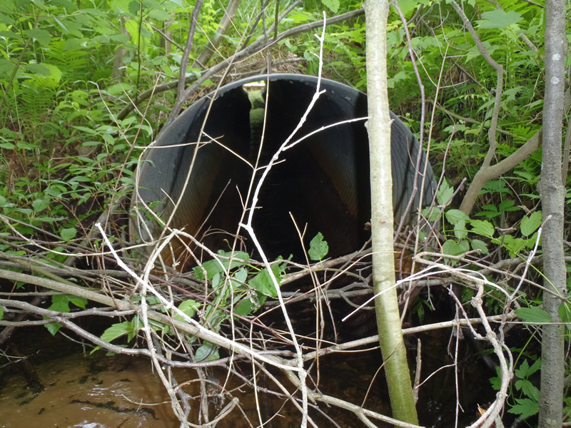
Inlet
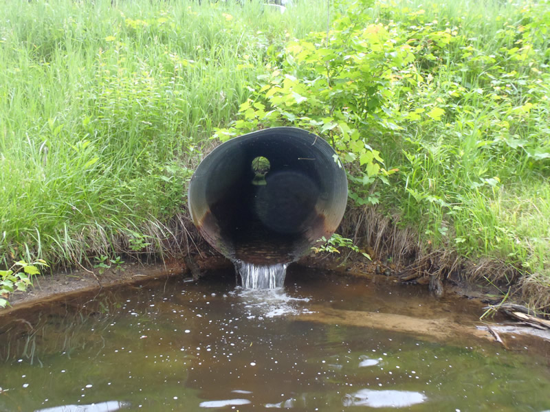
Outlet
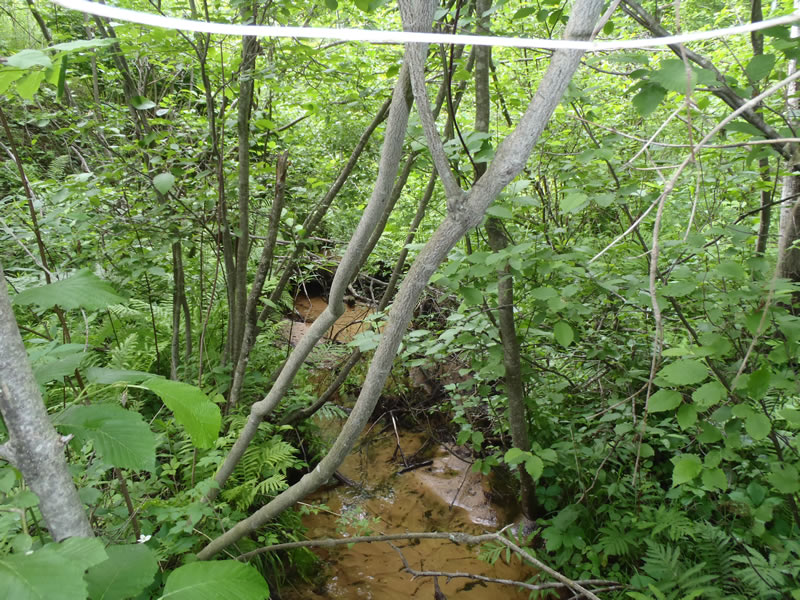
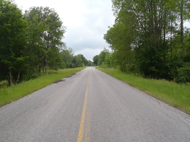
Upstream Conditions
Downstream Conditions
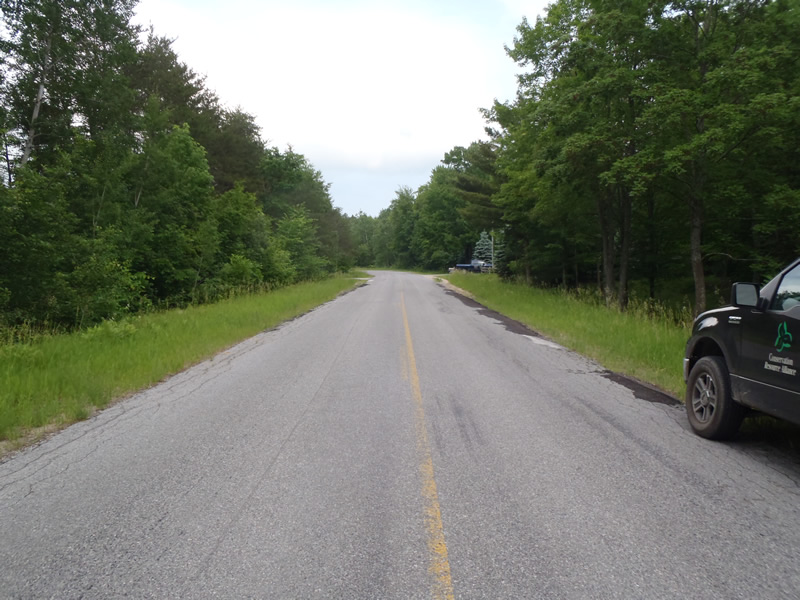
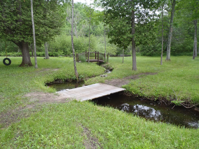
Road Approach - Left
Road Approach - Right
Crossing Information
Type of Crossing: culvert(s)
Number of Structures: 1
Structure Shape: Round
Inlet Type: Projecting
Outlet Type: Freefall into Pool
Structure Material: Metal
Structure Substrate: None
General Conditions: Fair
Structure Interior: corrugated
Dimensions of Structure: Length 40 ft.
, Width 3 ft.
, Height 3 ft.
Perch Height: 0.3 ft.
Structure Inlet
Water Depth: 0.19 ft.
Embedded Depth of Structure: 0 ft.
Water Velocity*: 1 ft./sec.
Structure Outlet
Water Depth: 0.15 ft.
Embedded Depth of Structure: 0 ft.
Water Velocity*: 2.5 ft./sec.
*Water Velocities were measured at the Surface
(with Meter)
Stream Information
Stream Flow: Less than Bankfull
Scour Pool: Length 10 ft.
, Width 8 ft.
, Depth 2.05 ft.
Riffle Information
Water Depth: 0.1 ft.
Bankfull Width: 6.8 ft.
Wetted Width: 4 ft.
Water Velocity: 1.3 ft./sec.
(Measured with Meter)
Dominant Substrate: Gravel
Road Information
Paved
County Road
Road Condition: Fair
Road Width at Culvert: 27 ft.
Location of Low Point: At Stream
Runoff Path: Ditch
Embankments
Upstream
Fill Depth: 5 ft.
Slope: More than 1:2
Downstream
Fill Depth: 4.5 ft.
Slope: 1:2
Approaches
Left Approach
Length: 300 ft.
Slope: Less Than 1%
Vegetation: Heavy
LS Factor: 0.05
Erosion: 0.0248 tons/year
Right Approach
Length: 450 ft.
Slope: Less Than 1%
Vegetation: Heavy
LS Factor: 0.05
Erosion: 0.0446 tons/year
Erosion Information
Total Erosion at Crossing: 0.0694 tons/year
Extent of Erosion: Minor
Notes:
Scour pool erosion due to perched culvert.
Summary Information
Erosion is an area of concern for this site.
�