Road Stream Crossing Site BEAR_BC039
Bear Creek Watershed, Greens Creek
Big Four Rd/Co Rd 602
Springdale Twp,
Manistee County
Information collected by:
Site Location
GPS Coordinates: 44.43608
, -86.05338
T24N
R14W
Sec 31
Owned by Private
Fish Passability 0.5
Structure is NOT Perched
Total Erosion: 0.0673 tons/year
Severity: Moderate
Year Inventoried: 2011
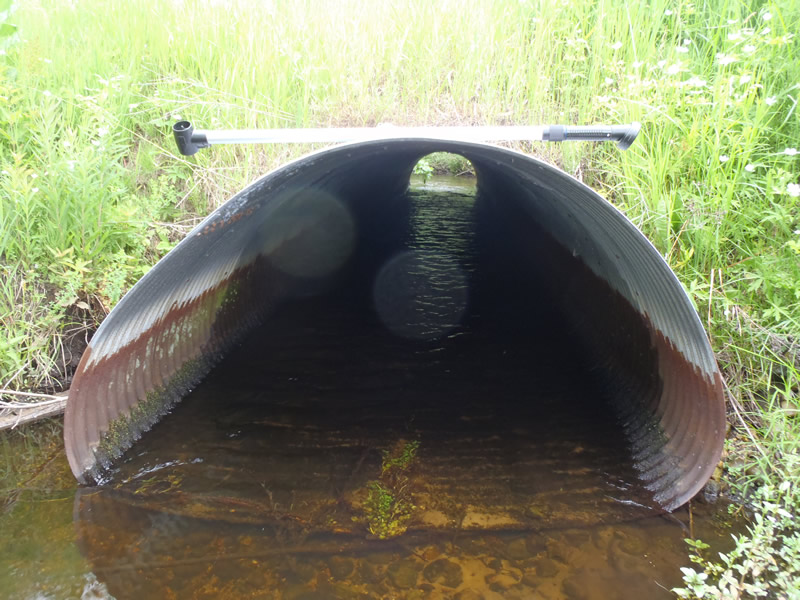
Inlet
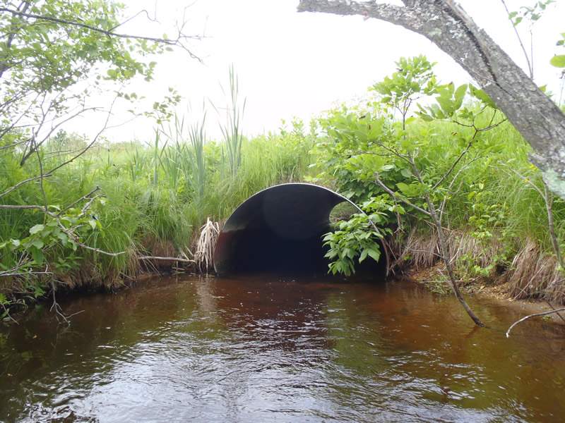
Outlet
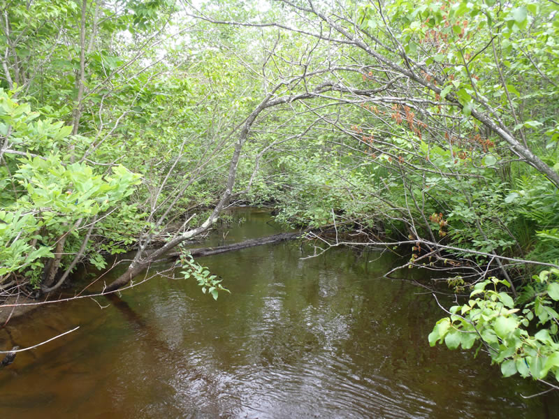
Upstream Conditions
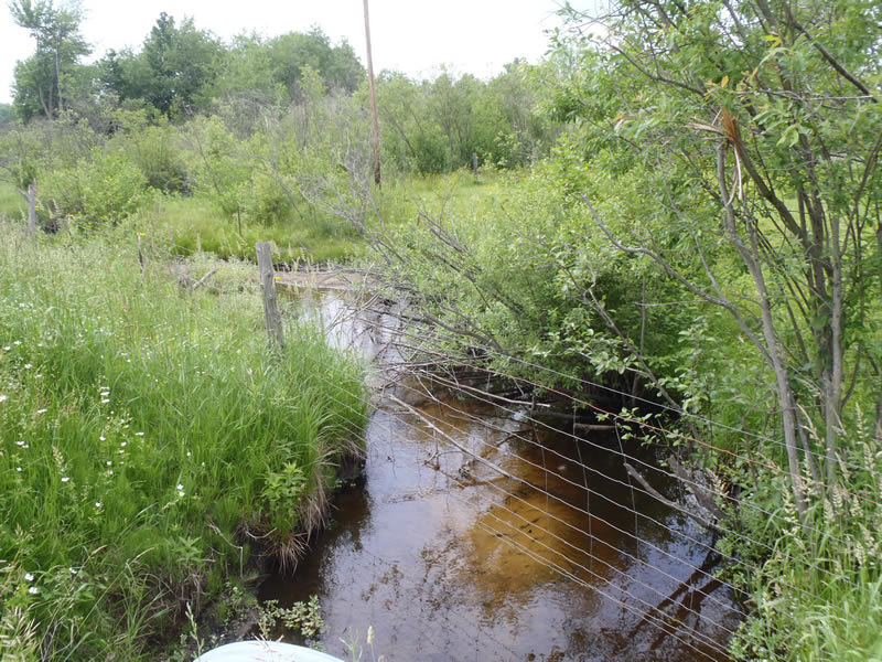
Downstream Conditions
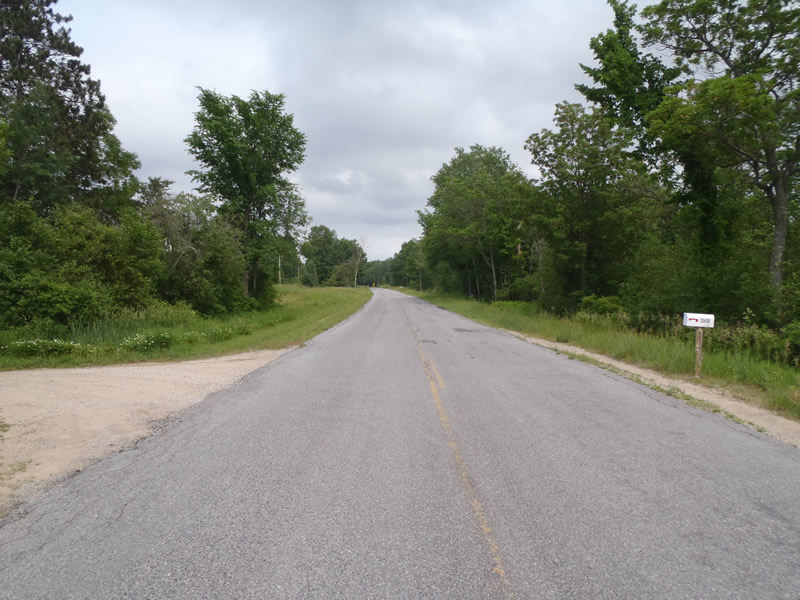
Road Approach - Left
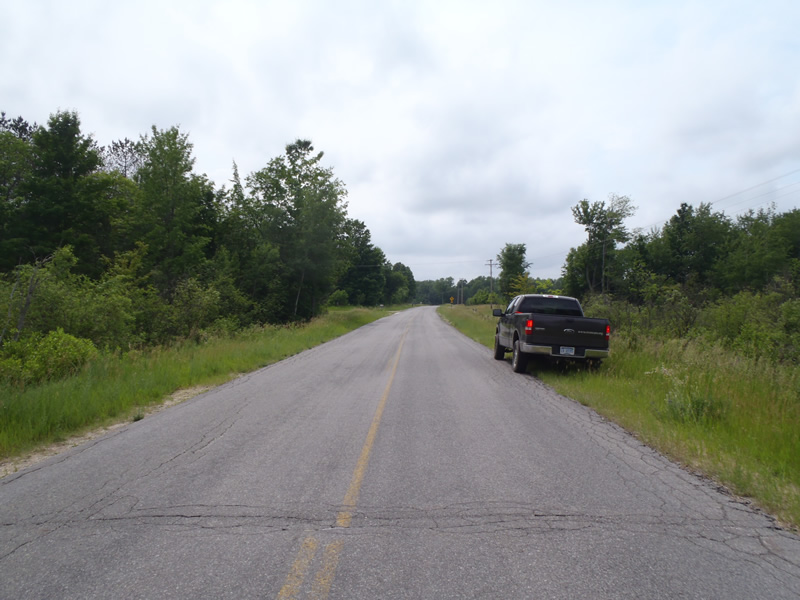
Road Approach - Right
Crossing Information
Type of Crossing: culvert(s)
Number of Structures: 1
Structure Shape: Pipe Arch
Inlet Type: Projecting
Outlet Type: At Stream Grade
Structure Material: Metal
Structure Substrate: None
General Conditions: Good
Structure Interior: corrugated
Dimensions of Structure: Length 55 ft.
, Width 6 ft.
, Height 4 ft.
Structure is NOT Perched
Structure Inlet
Water Depth: 0.54 ft.
Embedded Depth of Structure: 0 ft.
Water Velocity*: 1.9 ft./sec.
Structure Outlet
Water Depth: 0.79 ft.
Embedded Depth of Structure: 0 ft.
Water Velocity*: 1.8 ft./sec.
*Water Velocities were measured 0.33 ft. below Surface
(with Meter)
Stream Information
Stream Flow: Less than Bankfull
Scour Pool: Length 20 ft.
, Width 10 ft.
, Depth 2.39 ft.
Riffle Information
Water Depth: 0.62 ft.
Bankfull Width: 15.5 ft.
Wetted Width: 10.8 ft.
Water Velocity: 1.3 ft./sec.
(Measured with Meter)
Dominant Substrate: Sand
Road Information
Paved
County Road
Road Condition: Fair
Road Width at Culvert: 27 ft.
Location of Low Point: Other
Runoff Path: Ditch
Embankments
Upstream
Fill Depth: 3 ft.
Slope: Vertical
Downstream
Fill Depth: 3.5 ft.
Slope: Vertical
Approaches
Left Approach
Length: 507 ft.
Slope: Less Than 1%
Vegetation: Heavy
LS Factor: 0.05
Erosion: 0.0226 tons/year
Right Approach
Length: 1000 ft.
Slope: Less Than 1%
Vegetation: Heavy
LS Factor: 0.05
Erosion: 0.0446 tons/year
Erosion Information
Total Erosion at Crossing: 0.0673 tons/year
Summary Information
Fish Passability 0.5
�