Road Stream Crossing Site BEAR_BC041
Bear Creek Watershed, Big Bear Creek
Potter Rd
Maple Grove Twp,
Manistee County
Information collected by:
Site Location
GPS Coordinates: 44.413497093635
, -86.0495138168335
T23N
R14W
Sec 6
Owned by Private
Structure is NOT Perched
Total Erosion: 1.1297 tons/year
Severity: Moderate
Year Inventoried: 2011
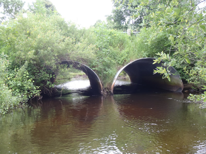
Inlet
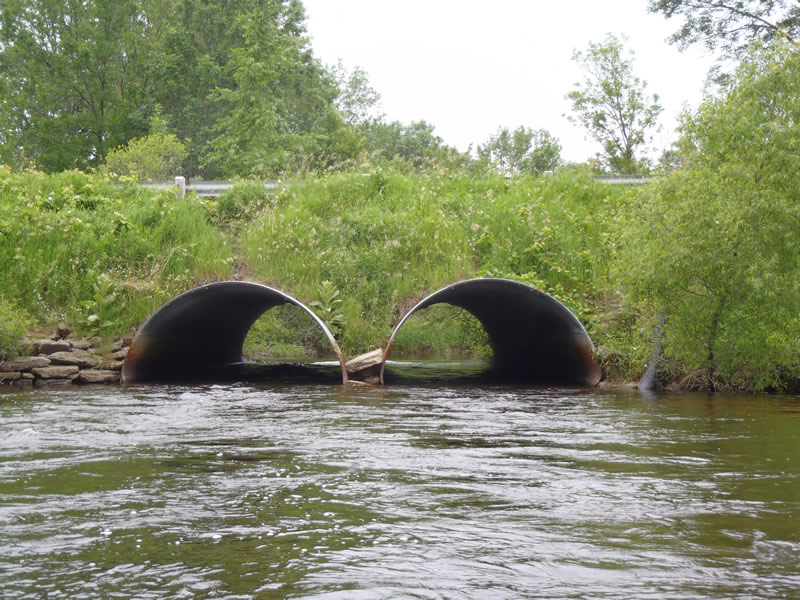
Outlet
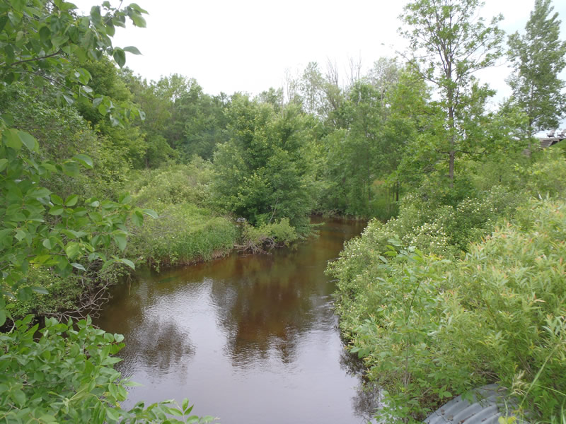
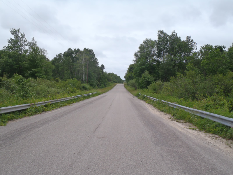
Upstream Conditions
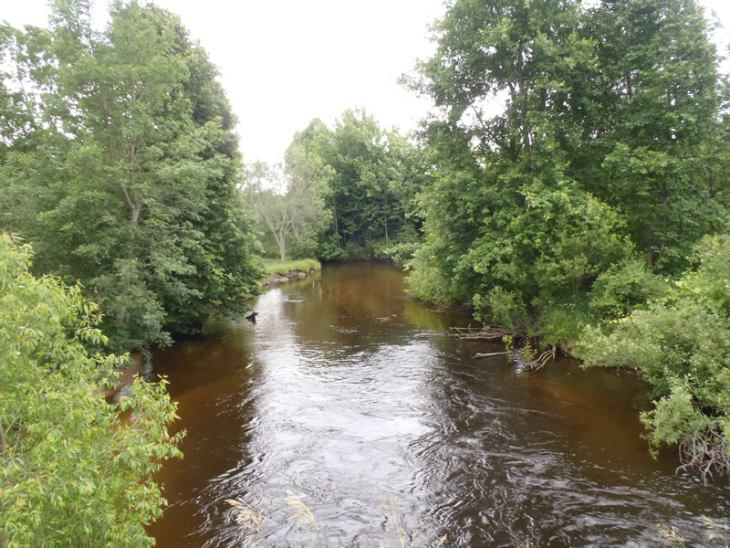
Downstream Conditions
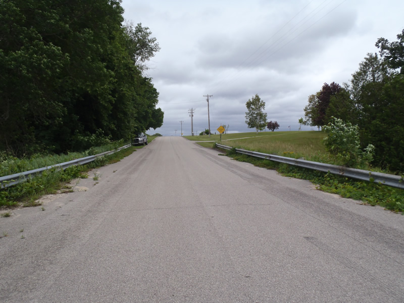
Road Approach - Left
Road Approach - Right
Crossing Information
Type of Crossing: culvert(s)
Number of Structures: 2
Structure Shape: Pipe Arch
Inlet Type: Projecting
Outlet Type: At Stream Grade
Structure Material: Metal
Structure Substrate: None
General Conditions: Good
Multiple Culverts/Spans | ||||
Culvert/Span | Width | Length | Height | Material |
1 |
12 ft. |
55 ft. |
8 ft. |
Metal |
2 |
12 ft. |
55 ft. |
8 ft. |
Metal |
Structure Interior: corrugated
Dimensions of Structure: Length 55 ft.
, Width 12 ft.
, Height 8 ft.
Structure is NOT Perched
Structure Inlet
Water Depth: 1.39 ft.
Embedded Depth of Structure: 0 ft.
Water Velocity*: 2.2 ft./sec.
Structure Outlet
Water Depth: 1.55 ft.
Embedded Depth of Structure: 0 ft.
Water Velocity*: 2.9 ft./sec.
*Water Velocities were measured 0.84 ft. below Surface
(with Meter)
Stream Information
Stream Flow: Less than Bankfull
Scour Pool: Length 80 ft.
, Width 50 ft.
, Depth 6 ft.
Riffle Information
Water Depth: 0.99 ft.
Bankfull Width: 49 ft.
Wetted Width: 46.9 ft.
Water Velocity: 2.5 ft./sec.
(Measured with Meter)
Dominant Substrate: Sand
Road Information
Paved
County Road
Road Condition: Good
Road Width at Culvert: 32 ft.
Location of Low Point: At Stream
Runoff Path: Roadway
Embankments
Upstream
Fill Depth: 7 ft.
Slope: 1:2
Downstream
Fill Depth: 8 ft.
Slope: 1:2
Approaches
Left Approach
Length: 630 ft.
Slope: 1% to 5%
Vegetation: Partial
LS Factor: 0.7
Erosion: 0.4865 tons/year
Right Approach
Length: 800 ft.
Slope: 1% to 5%
Vegetation: Heavy
LS Factor: 0.57
Erosion: 0.603 tons/year
Erosion Information
Total Erosion at Crossing: 1.1297 tons/year
Extent of Erosion: Minor
Notes:
Streambank erosion is present 135 ft downstream from outlet, sandbars have developed from sediment deposition, and a downstream scour pool is present.
Location of Erosion | Erosion Dimensions | Eroded Material | Material Eroded | Total Erosion | ||
facing downstream | Length | Width | Depth | Reaching Stream? | (tons/year) | |
Left Downstream Streambank |
3 ft. |
45 ft. |
2 ft. |
yes |
Sandy Loam |
0.0403 |
Summary Information
Erosion is an area of concern for this site.
Erosion is significant enough that it is resulting in mid channel sediment deposits.
A future visit to this site is recommended.
To plan bank stabilization
These non-native species were observerd at this site: Knapweed
�