Road Stream Crossing Site BEAR_BC101
Bear Creek Watershed
Swihart Rd
Dickson Twp,
Manistee County
Information collected by:
Site Location
GPS Coordinates: 44.30816
, -86.00086
T22N
R14W
Sec 15
Owned by Private
Structure is NOT Perched
Total Erosion: 1.9097 tons/year
Severity: Moderate
Year Inventoried: 2011
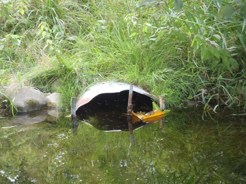
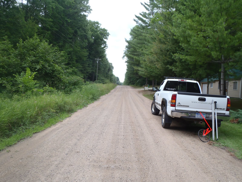
Inlet
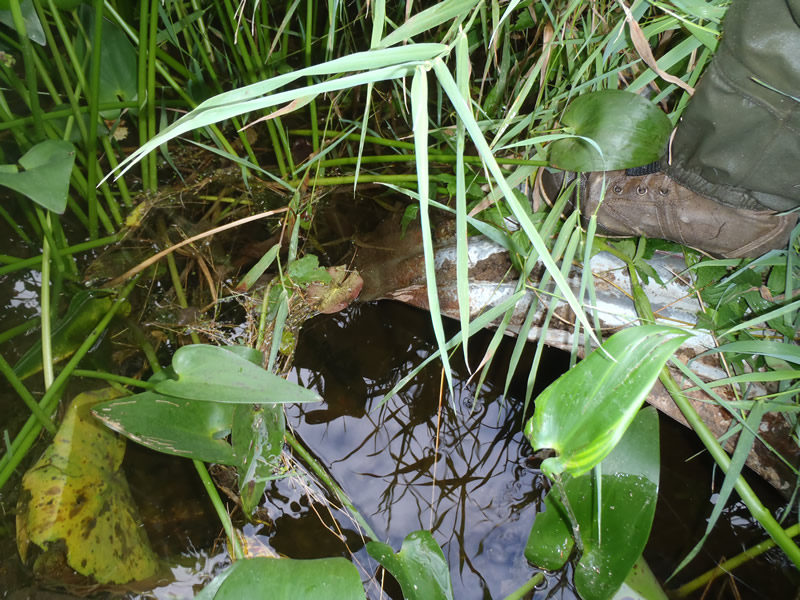
Outlet
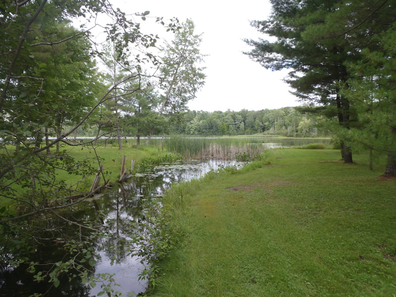
Upstream Conditions
Downstream Conditions
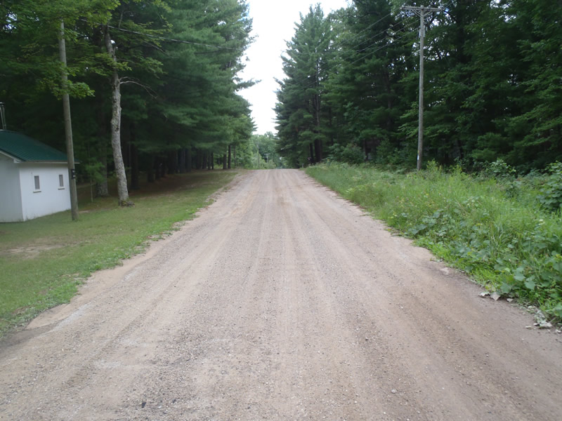
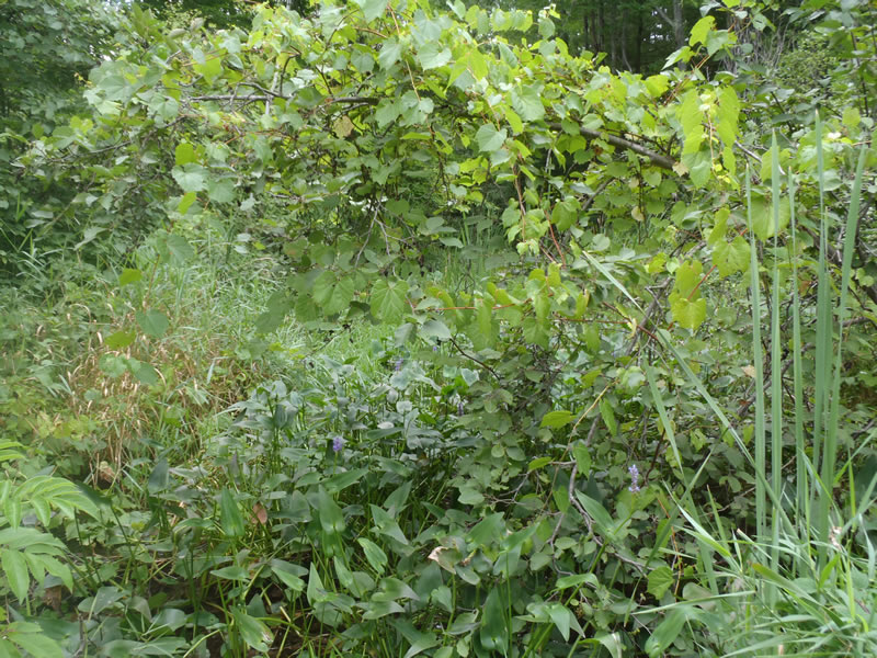
Road Approach - Left
Road Approach - Right
Crossing Information
Type of Crossing: culvert(s)
Number of Structures: 1
Structure Shape: Ellipse
Inlet Type: Projecting
Outlet Type: At Stream Grade
Structure Material: Metal
Structure Substrate: Mixture
General Conditions: Fair
Structure Interior: corrugated
Dimensions of Structure: Length 40 ft.
, Width 2.4 ft.
, Height 1.7 ft.
Structure is NOT Perched
Structure Inlet
Water Depth: 1.15 ft.
Embedded Depth of Structure: 0 ft.
Water Velocity*: 0.5 ft./sec.
Structure Outlet
Water Depth: 1.5 ft.
Embedded Depth of Structure: 0 ft.
Water Velocity*: 0.3 ft./sec.
*Water Velocities were measured 0.69 ft. below Surface
(with Meter)
Additional Comments
Stream and riffle information could not be collected due to a small lake being directly upstream and a marsh occuring directly downstream
Road Information
Gravel
County Road
Road Condition: Fair
Road Width at Culvert: 18 ft.
Location of Low Point: At Stream
Runoff Path: Ditch
Embankments
Upstream
Fill Depth: 3 ft.
Slope: 1:2
Downstream
Fill Depth: 3.5 ft.
Slope: 1:2
Approaches
Left Approach
Length: 225 ft.
Slope: 1% to 5%
Vegetation: Partial
LS Factor: 0.5
Erosion: 0.5579 tons/year
Right Approach
Length: 442 ft.
Slope: 1% to 5%
Vegetation: Partial
LS Factor: 0.617
Erosion: 1.3519 tons/year
Erosion Information
Total Erosion at Crossing: 1.9097 tons/year
Summary Information
�