Road Stream Crossing Site BEAR_BC108
Bear Creek Watershed, Little Beaver Creek
Tannerville Rd
Bear Lake Twp,
Manistee County
Information collected by:
Site Location
GPS Coordinates: 44.36551
, -86.11006
T23N
R15W
Sec 27
Owned by Private
Structure is NOT Perched
Total Erosion: 5.6529 tons/year
Severity: Moderate
Year Inventoried: 2011
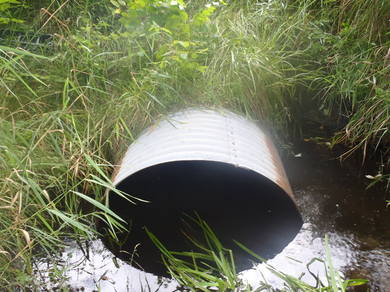
Inlet
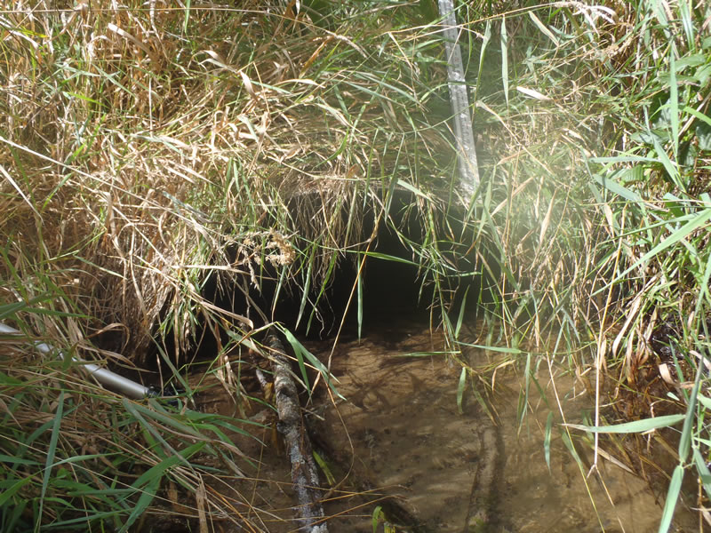
Outlet
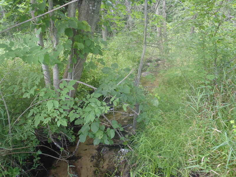
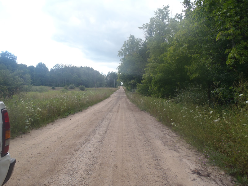
Upstream Conditions
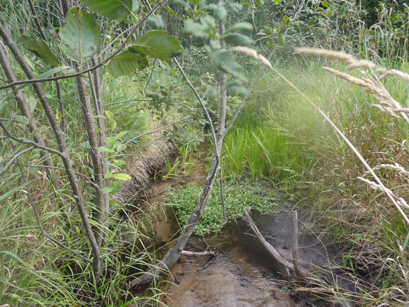
Downstream Conditions
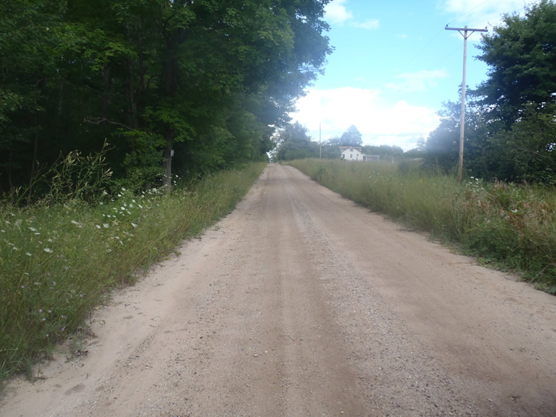
Road Approach - Left
Road Approach - Right
Crossing Information
Type of Crossing: culvert(s)
Number of Structures: 1
Structure Shape: Ellipse
Inlet Type: Projecting
Outlet Type: At Stream Grade
Structure Material: Metal
Structure Substrate: Sand
General Conditions: Good
Structure Interior: corrugated
Dimensions of Structure: Length 50 ft.
, Width 3.5 ft.
, Height 2.3 ft.
Structure is NOT Perched
Structure Inlet
Water Depth: 0.87 ft.
Embedded Depth of Structure: 0 ft.
Water Velocity*: 0.3 ft./sec.
Structure Outlet
Water Depth: 0.24 ft.
Embedded Depth of Structure: 0 ft.
Water Velocity*: 0.4 ft./sec.
*Water Velocities were measured at the Surface
(with Meter)
Stream Information
Stream Flow: Less than Bankfull
Upstream Pond: Length 10 ft.
, Width 10 ft.
, Depth 1.8 ft.
Riffle Information
Water Depth: 0.29 ft.
Bankfull Width: 7.1 ft.
Wetted Width: 3.4 ft.
Water Velocity: 0.9 ft./sec.
(Measured with Meter)
Dominant Substrate: Sand
Road Information
Gravel
County Road
Road Condition: Good
Road Width at Culvert: 18 ft.
Location of Low Point: At Stream
Runoff Path: Roadway
Embankments
Upstream
Fill Depth: 2.1 ft.
Slope: More than 1:2
Downstream
Fill Depth: 2.6 ft.
Slope: More than 1:2
Approaches
Left Approach
Length: 375 ft.
Slope: 1% to 5%
Vegetation: Heavy
LS Factor: 0.57
Erosion: 2.8264 tons/year
Right Approach
Length: 0 ft.
Slope: Less Than 1%
Vegetation: Heavy
LS Factor: 0.57
Erosion: 2.8264 tons/year
Erosion Information
Total Erosion at Crossing: 5.6529 tons/year
Extent of Erosion: Minor
Summary Information
Erosion is an area of concern for this site.
�