Road Stream Crossing Site BEAR_BC078
Bear Creek Watershed, Cedar Creek
Bigge Rd
Maple Grove Twp,
Manistee County
Information collected by:
Site Location
GPS Coordinates: 44.38247
, -85.96566
T23N
R14W
Sec 23
Owned by Private
Structure is NOT Perched
Total Erosion: 0.6265 tons/year
Severity: Moderate
Year Inventoried: 2011
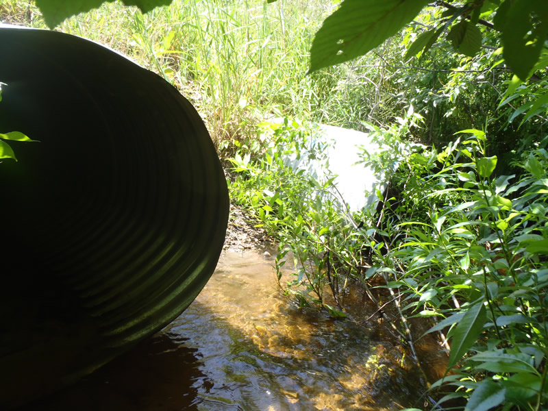
Inlet
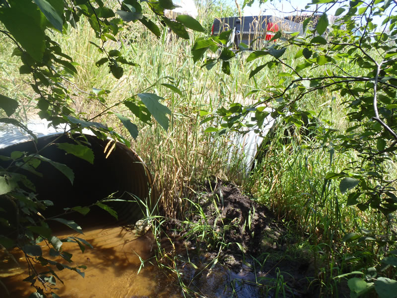
Outlet
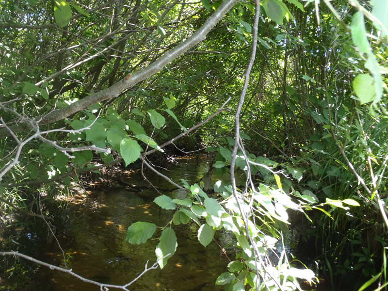
Upstream Conditions
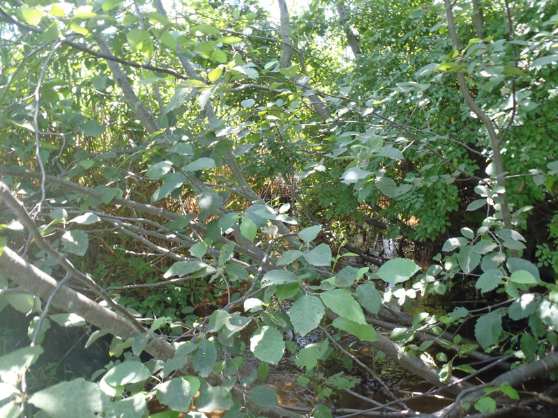
Downstream Conditions
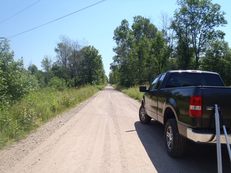
Road Approach - Left
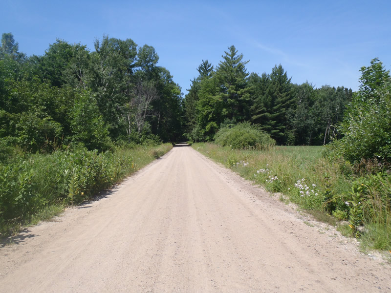
Road Approach - Right
Crossing Information
Type of Crossing: culvert(s)
Number of Structures: 2
Structure Shape: Ellipse
Inlet Type: Projecting
Outlet Type: At Stream Grade
Structure Material: Metal
Structure Substrate: Sand
General Conditions: Good
Structure Interior: corrugated
Dimensions of Structure: Length 40 ft.
, Width 4.5 ft.
, Height 3.3 ft.
Percentage Crushed:
Inlet: 0%
Outlet: 0%
In Pipe: 1% to 25%
Structure is NOT Perched
Structure Inlet
Water Depth: 1.21 ft.
Embedded Depth of Structure: 0 ft.
Water Velocity*: 0.8 ft./sec.
Structure Outlet
Water Depth: 0.52 ft.
Embedded Depth of Structure: 0 ft.
Water Velocity*: 1.2 ft./sec.
*Water Velocities were measured 0.31 ft. below Surface
(with Meter)
Additional Comments
Culvert #2 was used to collect structure data. Culvert #1 had no stream flow.
Stream Information
Stream Flow: Less than Bankfull
Upstream Pond: Length 4 ft.
, Width 3.6 ft.
, Depth 1.33 ft.
Riffle Information
Water Depth: 0.54 ft.
Bankfull Width: 10.5 ft.
Wetted Width: 7.7 ft.
Water Velocity: 1.4 ft./sec.
(Measured with Meter)
Dominant Substrate: Sand
Road Information
Gravel
County Road
Road Condition: Good
Road Width at Culvert: 20 ft.
Location of Low Point: At Stream
Runoff Path: Roadway
Embankments
Upstream
Fill Depth: 2.4 ft.
Slope: 1:1
Downstream
Fill Depth: 1.5 ft.
Slope: 1:1
Approaches
Left Approach
Length: 1000 ft.
Slope: Less Than 1%
Vegetation: Heavy
LS Factor: 0.05
Erosion: 0.2755 tons/year
Right Approach
Length: 996 ft.
Slope: Less Than 1%
Vegetation: Heavy
LS Factor: 0.05
Erosion: 0.2744 tons/year
Erosion Information
Total Erosion at Crossing: 0.6265 tons/year
Extent of Erosion: Moderate
Erosion is occurring and corrective actions can be installed to address the problem.
Notes:
Embankments lack stabilizing vegetation and show signs of direct road runoff.
Location of Erosion | Erosion Dimensions | Eroded Material | Material Eroded | Total Erosion | ||
facing downstream | Length | Width | Depth | Reaching Stream? | (tons/year) | |
Left Upstream Embankment |
5 ft. |
4 ft. |
1 ft. |
yes |
Sandy Loam |
0.0336 |
Right Downstream Embankment |
8 ft. |
4 ft. |
0.8 ft. |
yes |
Sandy Loam |
0.043 |
Summary Information
Erosion is an area of concern for this site.
A future visit to this site is recommended.
To further assess extent of erosion and determine appropriate corrective action.
These non-native species were observerd at this site: Knapweed
�