Road Stream Crossing Site BEAR_BC083
Bear Creek Watershed, Beaver Creek
Healy Lake Rd/County Rd 669
Maple Grove Twp,
Manistee County
Information collected by:
Site Location
GPS Coordinates: 44.37858
, -86.01028
T23N
R14W
Sec 21
Owned by Private
Structure is NOT Perched
Total Erosion: 1.8583 tons/year
Severity: Moderate
Year Inventoried: 2011
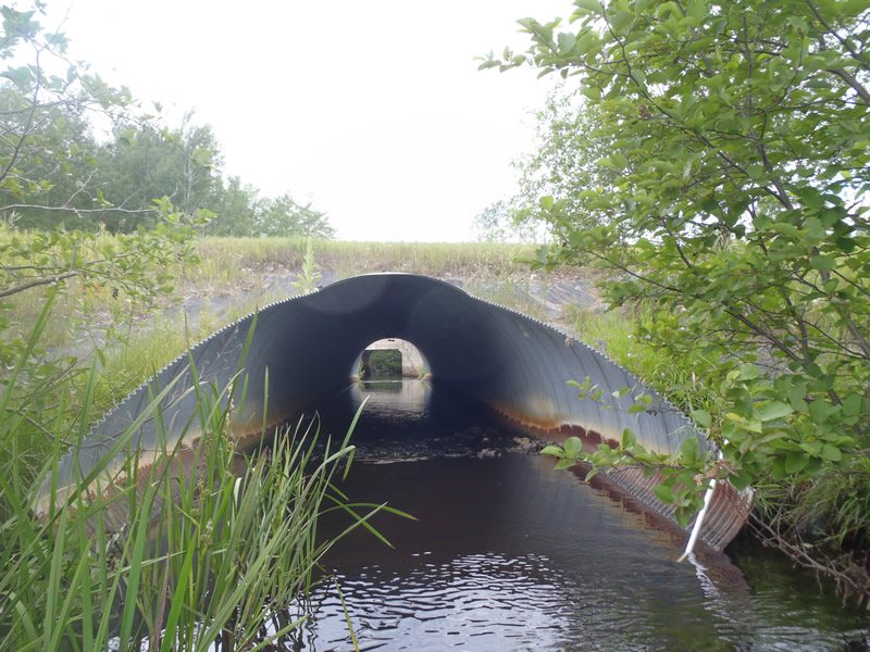
Inlet
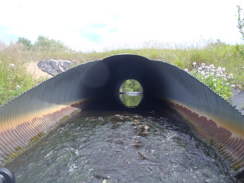
Outlet
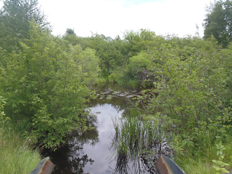
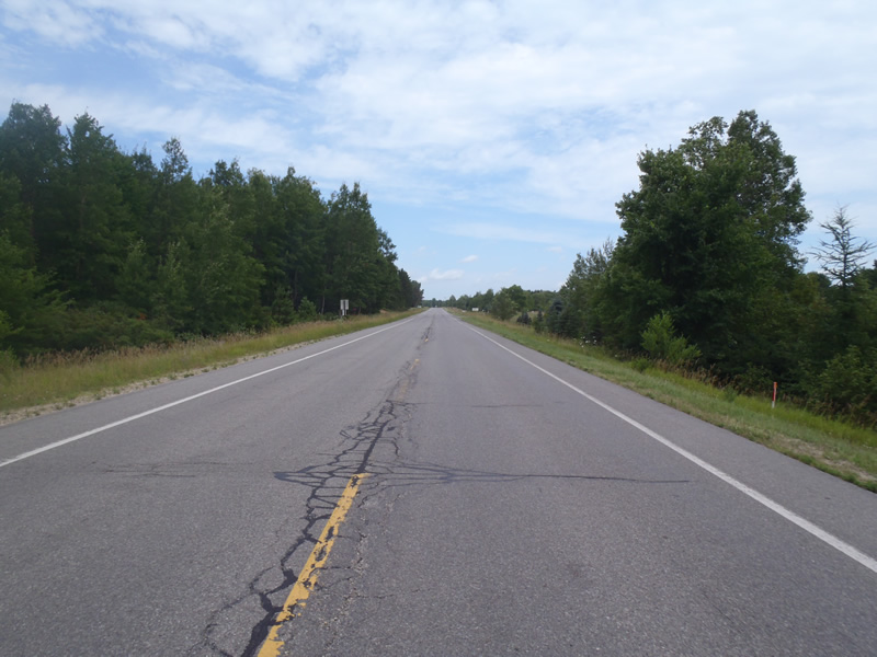
Upstream Conditions
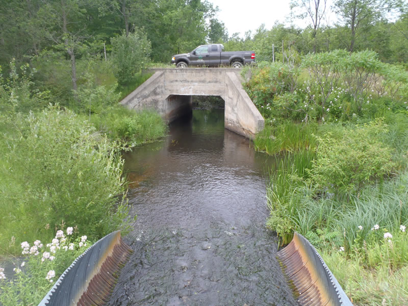
Downstream Conditions
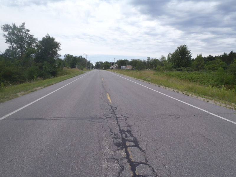
Road Approach - Left
Road Approach - Right
Crossing Information
Type of Crossing: culvert(s)
Number of Structures: 1
Structure Shape: Ellipse
Inlet Type: Mitered
Outlet Type: At Stream Grade
Structure Material: Metal
Structure Substrate: Rock
General Conditions: Fair
Structure Interior: corrugated
Dimensions of Structure: Length 110 ft.
, Width 11 ft.
, Height 9 ft.
Structure is NOT Perched
Structure Inlet
Water Depth: 0.4 ft.
Embedded Depth of Structure: 0 ft.
Water Velocity*: 1.5 ft./sec.
Structure Outlet
Water Depth: 0.35 ft.
Embedded Depth of Structure: 0 ft.
Water Velocity*: 2.5 ft./sec.
*Water Velocities were measured 0.21 ft. below Surface
(with Meter)
Additional Comments
1) Upstream is a pond/marsh.
Stream Information
Stream Flow: Less than Bankfull
Scour Pool: Length 35 ft.
, Width 25 ft.
, Depth 3.5 ft.
Riffle Information
Water Depth: 0.7 ft.
Bankfull Width: 27 ft.
Wetted Width: 23 ft.
Water Velocity: 0.8 ft./sec.
(Measured with Meter)
Dominant Substrate: Sand
Road Information
Paved
County Road
Road Condition: Good
Road Width at Culvert: 37 ft.
Location of Low Point: Other
Runoff Path: Ditch
Embankments
Upstream
Fill Depth: 3.8 ft.
Slope: More than 1:2
Downstream
Fill Depth: 4.5 ft.
Slope: More than 1:2
Approaches
Left Approach
Length: 500 ft.
Slope: Less Than 1%
Vegetation: Heavy
LS Factor: 0.06
Erosion: 0.0734 tons/year
Right Approach
Length: 0 ft.
Slope: Less Than 1%
Vegetation: Heavy
LS Factor: 0.8
Erosion: 0.9785 tons/year
Erosion Information
Total Erosion at Crossing: 1.8583 tons/year
Extent of Erosion: Moderate
Erosion is occurring and corrective actions can be installed to address the problem.
Notes:
Embankments have lost all fill over plastic erosion cover. Embankments need fill and vegetation.
Location of Erosion | Erosion Dimensions | Eroded Material | Material Eroded | Total Erosion | ||
facing downstream | Length | Width | Depth | Reaching Stream? | (tons/year) | |
Right Upstream Embankment |
24 ft. |
6 ft. |
1 ft. |
yes |
Gravelly Loam |
0.168 |
Left Upstream Embankment |
21 ft. |
10 ft. |
1 ft. |
yes |
Gravelly Loam |
0.147 |
Right Downstream Embankment |
21 ft. |
10 ft. |
2 ft. |
yes |
Sand |
0.3234 |
Left Downstream Embankment |
16 ft. |
3 ft. |
1.5 ft. |
yes |
Gravelly Loam |
0.168 |
Summary Information
Erosion is an area of concern for this site.
Active erosion requires stabilization.
A future visit to this site is recommended.
To monitor erosion.
These non-native species were observerd at this site: Knapweed
�