Road Stream Crossing Site BEAR_BC084
Bear Creek Watershed, Beaver Creek
Old Railroad Grade west of 669
Maple Grove Twp,
manistee County
Information collected by:
Site Location
GPS Coordinates: 44.3785
, -86.01075
T23N
R14W
Sec 21
Owned by Private
Fish Passability 0.9
Structure is NOT Perched
Total Erosion: 0.1277 tons/year
Severity: Minor
Year Inventoried: 2011
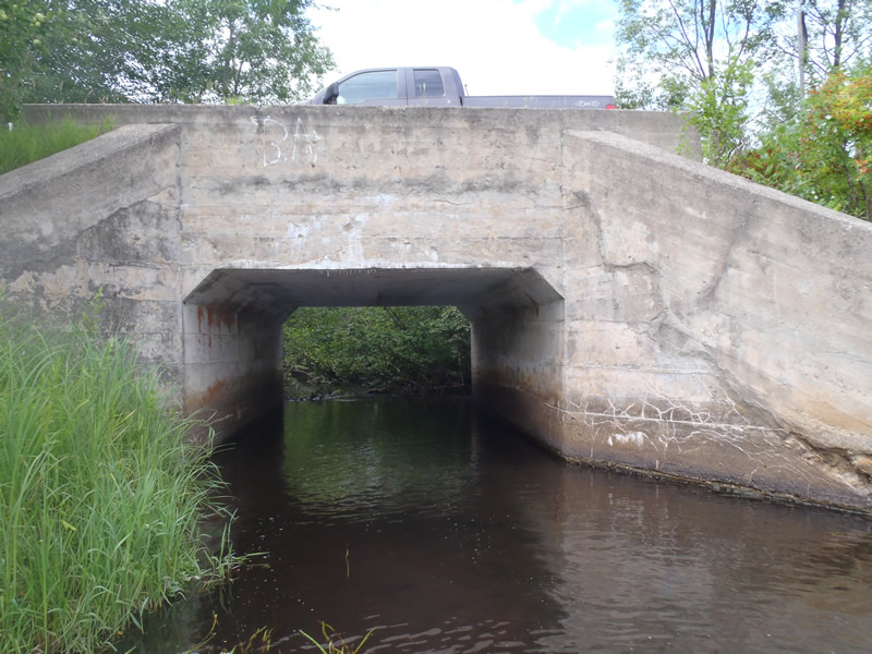
Inlet
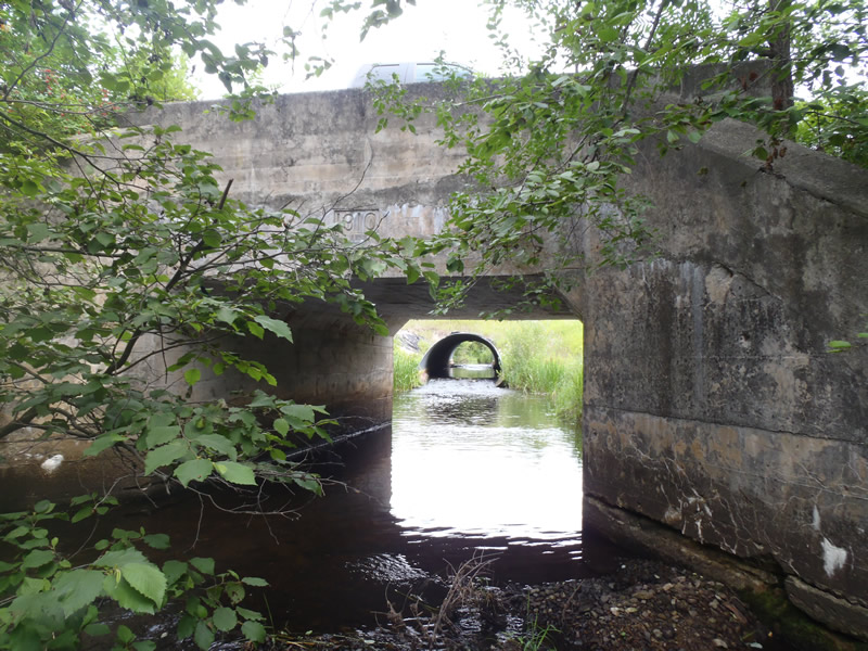
Outlet
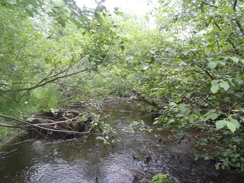
Upstream Conditions
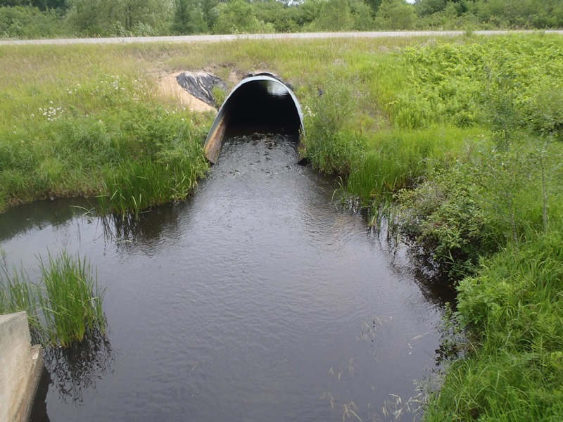
Downstream Conditions
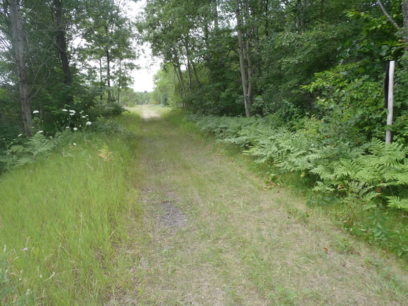
Road Approach - Left
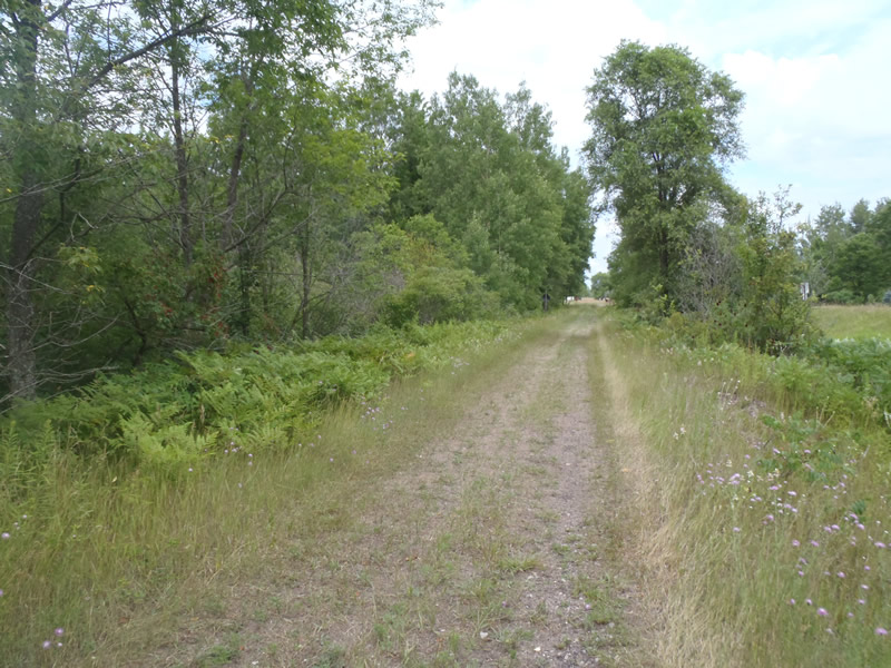
Road Approach - Right
Crossing Information
Type of Crossing: culvert(s)
Number of Structures: 1
Structure Shape: Open Bottom Square/Rectangle
Inlet Type: Wingwall 30-70 Degree
Outlet Type: At Stream Grade
Structure Material: Concrete
Structure Substrate: Gravel
General Conditions: Fair
Structure Interior: smooth
Dimensions of Structure: Length 30 ft.
, Width 12 ft.
, Height 7 ft.
Structure is NOT Perched
Structure Inlet
Water Depth: 1.05 ft.
Embedded Depth of Structure: 0 ft.
Water Velocity*: 0.4 ft./sec.
Structure Outlet
Water Depth: 0.67 ft.
Embedded Depth of Structure: 0 ft.
Water Velocity*: 0.5 ft./sec.
*Water Velocities were measured 0.4 ft. below Surface
(with Meter)
Stream Information
Stream Flow: Less than Bankfull
Riffle Information
Water Depth: 0.7 ft.
Bankfull Width: 27 ft.
Wetted Width: 23 ft.
Water Velocity: 0.8 ft./sec.
(Measured with Meter)
Dominant Substrate: Sand
Road Information
Native Surface
County Road
(Seasonal)
Road Condition: Good
Road Width at Culvert: 10 ft.
Location of Low Point: At Stream
Runoff Path: Ditch
Fill Depth: 0 ft.
Slope: Vertical
Fill Depth: 0 ft.
Slope: Vertical
Approaches
Left Approach
Length: 552 ft.
Slope: Less Than 1%
Vegetation: Heavy
LS Factor: 0.05
Erosion: 0.076 tons/year
Right Approach
Length: 375 ft.
Slope: Less Than 1%
Vegetation: Heavy
LS Factor: 0.05
Erosion: 0.0517 tons/year
Erosion Information
Total Erosion at Crossing: 0.1277 tons/year
Summary Information
Fish Passability 0.9
These non-native species were observerd at this site: Knapweed
�