Road Stream Crossing Site BEAR_BC085
Bear Creek Watershed, Cedar Creek
Wilson Rd
Maple Grove Twp,
Manistee County
Information collected by:
Site Location
GPS Coordinates: 44.355
, -86.01051
T23N
R14W
Sec 28
Owned by Private
Fish Passability 0.5
Structure is NOT Perched
Total Erosion: 0.6612 tons/year
Severity: Moderate
Year Inventoried: 2011
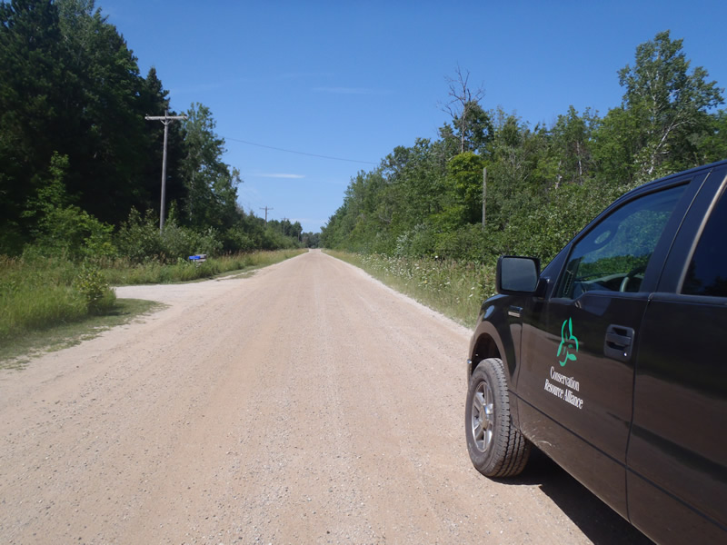
Inlet
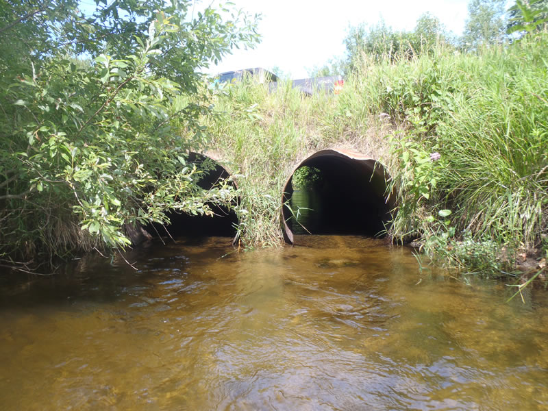
Outlet
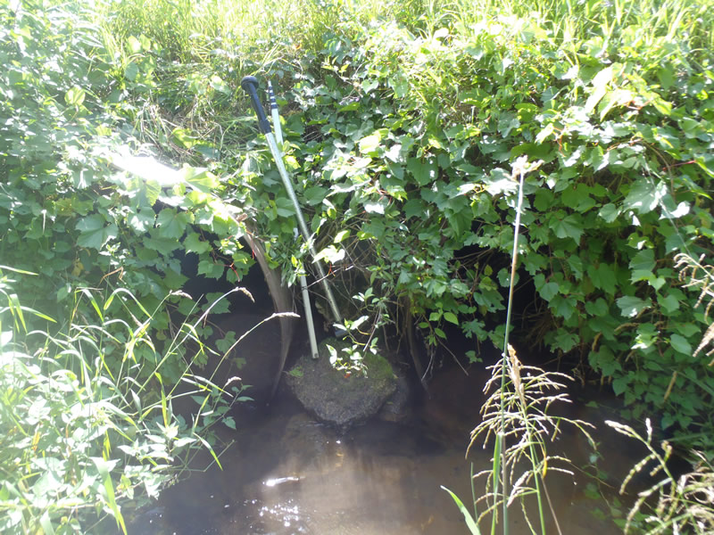
Upstream Conditions
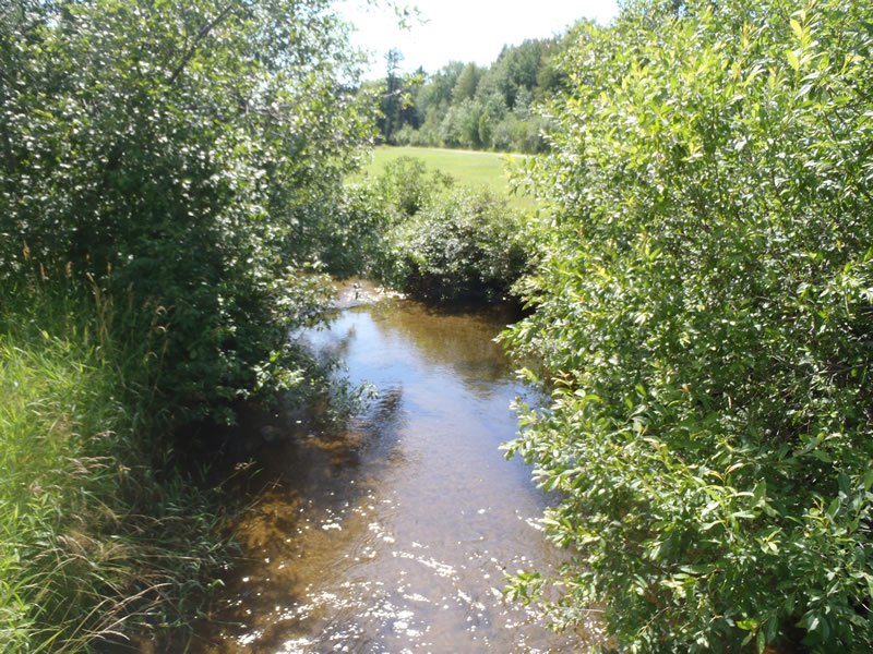
Downstream Conditions
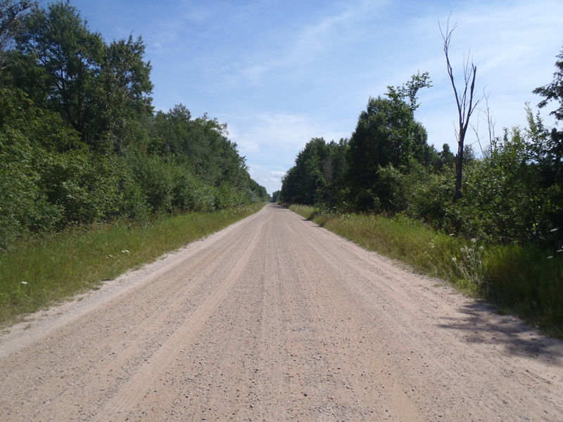
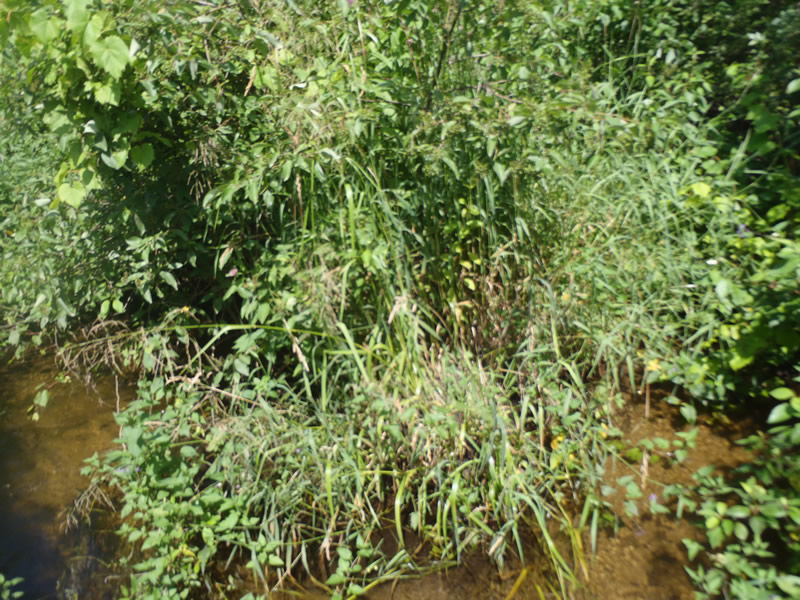
Road Approach - Left
Road Approach - Right
Crossing Information
Type of Crossing: culvert(s)
Number of Structures: 2
Structure Shape: Round
Inlet Type: Projecting
Outlet Type: At Stream Grade
Structure Material: Metal
Structure Substrate: None
General Conditions: Fair
Multiple Culverts/Spans | ||||
Culvert/Span | Width | Length | Height | Material |
1 |
4 ft. |
40 ft. |
4 ft. |
Metal |
2 |
4 ft. |
40 ft. |
4 ft. |
Metal |
Structure Interior: corrugated
Dimensions of Structure: Length 40 ft.
, Width 4 ft.
, Height 4 ft.
Structure is NOT Perched
Structure Inlet
Water Depth: 1 ft.
Embedded Depth of Structure: 0 ft.
Water Velocity*: 1.5 ft./sec.
Structure Outlet
Water Depth: 0.85 ft.
Embedded Depth of Structure: 0 ft.
Water Velocity*: 2.1 ft./sec.
*Water Velocities were measured 0.51 ft. below Surface
(with Meter)
Stream Information
Stream Flow: Less than Bankfull
Scour Pool: Length 15 ft.
, Width 12 ft.
, Depth 2.8 ft.
Riffle Information
Water Depth: 0.4 ft.
Bankfull Width: 19.5 ft.
Wetted Width: 18.3 ft.
Water Velocity: 1.4 ft./sec.
(Measured with Meter)
Dominant Substrate: Cobble
Road Information
Gravel
County Road
Road Condition: Good
Road Width at Culvert: 24 ft.
Location of Low Point: At Stream
Runoff Path: Ditch
Embankments
Upstream
Fill Depth: 3.5 ft.
Slope: Vertical
Downstream
Fill Depth: 2.9 ft.
Slope: Vertical
Approaches
Left Approach
Length: 1000 ft.
Slope: Less Than 1%
Vegetation: Heavy
LS Factor: 0.05
Erosion: 0.3306 tons/year
Right Approach
Length: 1000 ft.
Slope: Less Than 1%
Vegetation: Heavy
LS Factor: 0.05
Erosion: 0.3306 tons/year
Erosion Information
Total Erosion at Crossing: 0.6612 tons/year
Extent of Erosion: Minor
Notes: Very minor erosion due to steep embankments and scour pool formation
Summary Information
Fish Passability 0.5
�