Road Stream Crossing Site BEAR_BC064
Bear Creek Watershed, Cedar Creek
Johnson Rd
Maple Grove Twp,
Manistee County
Information collected by:
Site Location
GPS Coordinates: 44.34155
, -86.03514
T23N
R14W
Sec 32
Owned by Private
Fish Passability 1
Structure is NOT Perched
Total Erosion: 0.7365 tons/year
Severity: Minor
Year Inventoried: 2011
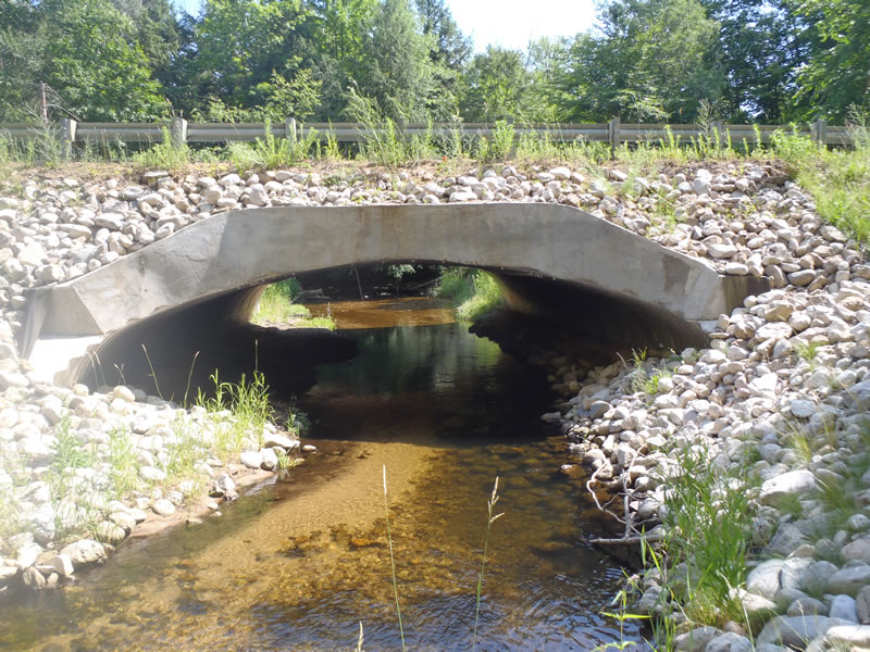
Inlet
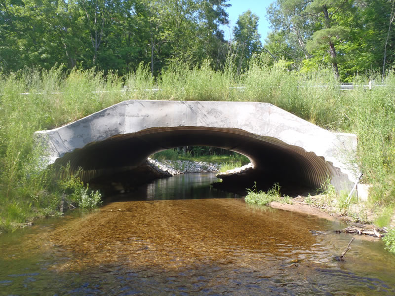
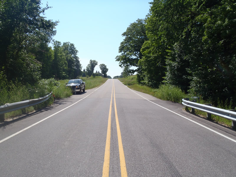
Outlet
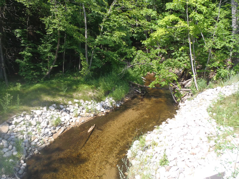
Upstream Conditions
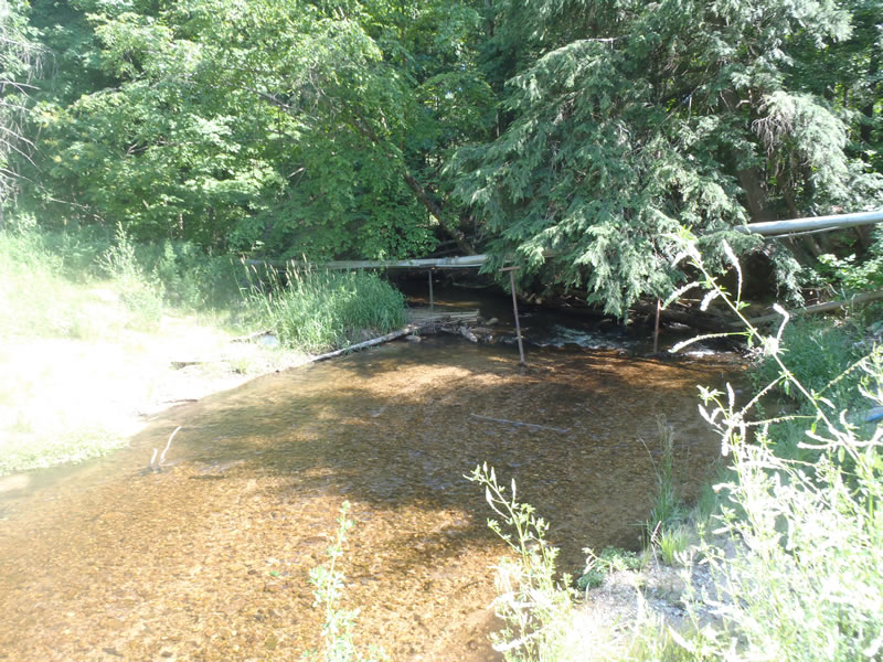
Downstream Conditions
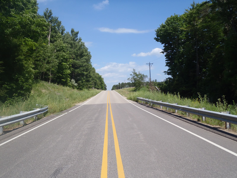
Road Approach - Left
Road Approach - Right
Crossing Information
Type of Crossing: culvert(s)
Number of Structures: 1
Structure Shape: Open Bottom Arch
Inlet Type: Mitered
Outlet Type: At Stream Grade
Structure Material: Metal
Structure Substrate: Mixture
General Conditions: Good
Structure Interior: corrugated
Dimensions of Structure: Length 60 ft.
, Width 30 ft.
, Height 9 ft.
Structure is NOT Perched
Structure Inlet
Water Depth: 1.56 ft.
Embedded Depth of Structure: 0 ft.
Water Velocity*: 1.5 ft./sec.
Structure Outlet
Water Depth: 0.89 ft.
Embedded Depth of Structure: 0 ft.
Water Velocity*: 1.6 ft./sec.
*Water Velocities were measured 0.54 ft. below Surface
(with Meter)
Stream Information
Stream Flow: Less than Bankfull
Riffle Information
Water Depth: 0.6 ft.
Bankfull Width: 21.8 ft.
Wetted Width: 16.7 ft.
Water Velocity: 2.6 ft./sec.
(Measured with Meter)
Dominant Substrate: Gravel
Road Information
Paved
County Road
Road Condition: Good
Road Width at Culvert: 28 ft.
Location of Low Point: Other
Runoff Path: Ditch
Embankments
Upstream
Fill Depth: 3 ft.
Slope: 1:1
Downstream
Fill Depth: 2 ft.
Slope: 1:1.5
Approaches
Left Approach
Length: 1000 ft.
Slope: 1% to 5%
Vegetation: Heavy
LS Factor: 0.57
Erosion: 0.5276 tons/year
Right Approach
Length: 459 ft.
Slope: 1% to 5%
Vegetation: Heavy
LS Factor: 0.492
Erosion: 0.2089 tons/year
Erosion Information
Total Erosion at Crossing: 0.7365 tons/year
Summary Information
Fish Passability 1
These non-native species were observerd at this site: Knapweed
�