Road Stream Crossing Site BEAR_BC066
Bear Creek Watershed, Williamson Creek
Unimproved Road off McClellen
Maple Grove Twp,
Manistee County
Information collected by:
Site Location
GPS Coordinates: 44.36151
, -86.05322
T23N
R14W
Sec 30
Owned by Private
Fish Passability 1
Structure is NOT Perched
Total Erosion: 0.1064 tons/year
Severity: Minor
Year Inventoried: 2011
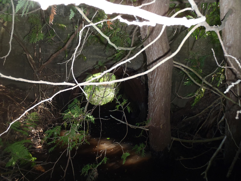
Inlet
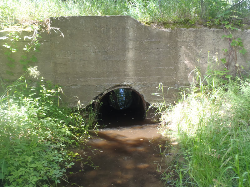
Outlet
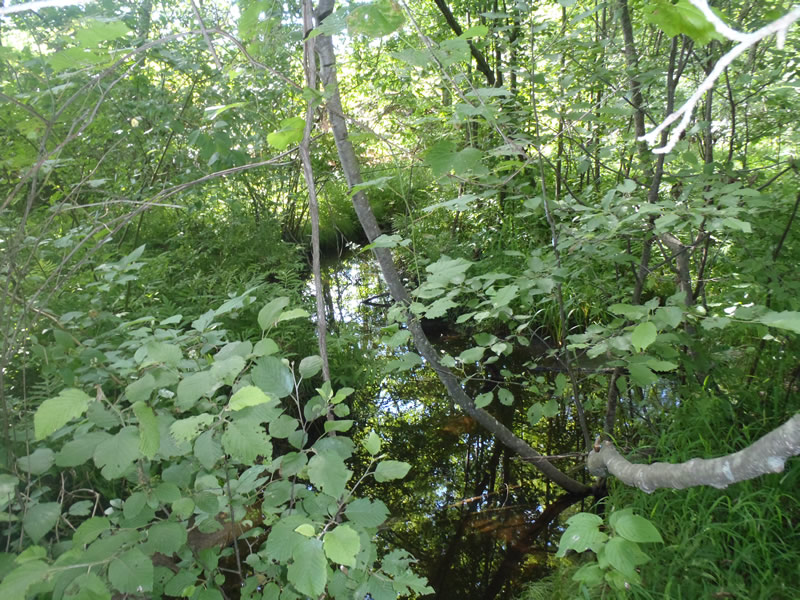
Upstream Conditions
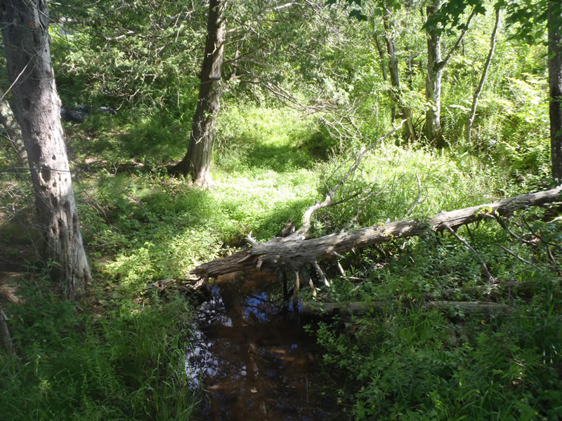
Downstream Conditions
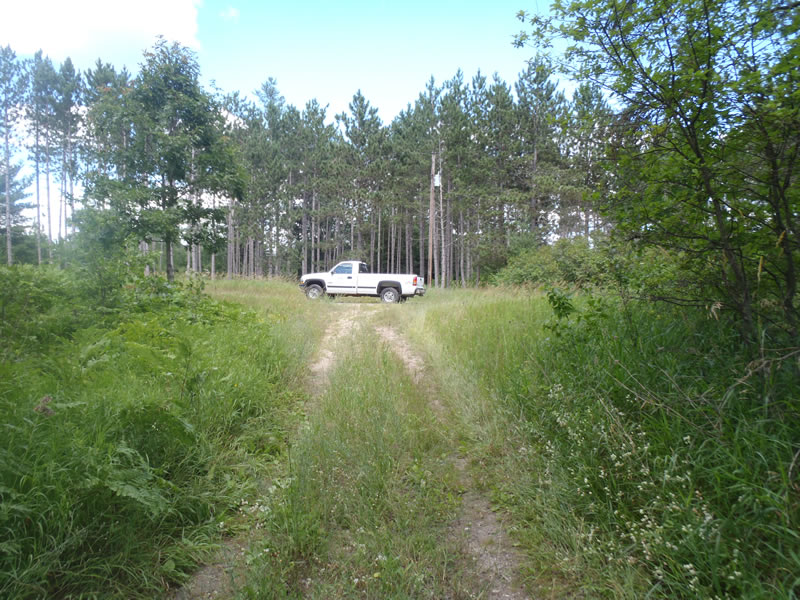
Road Approach - Left
Road Approach - Right
Crossing Information
Type of Crossing: culvert(s)
Number of Structures: 1
Structure Shape: Round
Inlet Type: Headwall
Outlet Type: At Stream Grade
Structure Material: Metal
Structure Substrate: Sand
General Conditions: Poor
Structure Interior: smooth
Structure is Rusted through
Dimensions of Structure: Length 16 ft.
, Width 3.5 ft.
, Height 3.5 ft.
Structure is NOT Perched
Structure Inlet
Water Depth: 0.73 ft.
Embedded Depth of Structure: 0 ft.
Water Velocity*: 0.05 ft./sec.
Structure Outlet
Water Depth: 0.5 ft.
Embedded Depth of Structure: 0 ft.
Water Velocity*: 0 ft./sec.
*Water Velocities were measured 0.3 ft. below Surface
(with Meter)
Stream Information
Stream Flow: Less than Bankfull
Riffle Information
Water Depth: 0.11 ft.
Bankfull Width: 5.98 ft.
Wetted Width: 4.68 ft.
Water Velocity: 0.3 ft./sec.
(Measured with Meter)
Dominant Substrate: Sand
Road Information
Gravel
Private Road
Road Condition: Fair
Road Width at Culvert: 7 ft.
Location of Low Point: At Stream
Runoff Path: Ditch
Fill Depth: 0 ft.
Slope: Vertical
Fill Depth: 0 ft.
Slope: Vertical
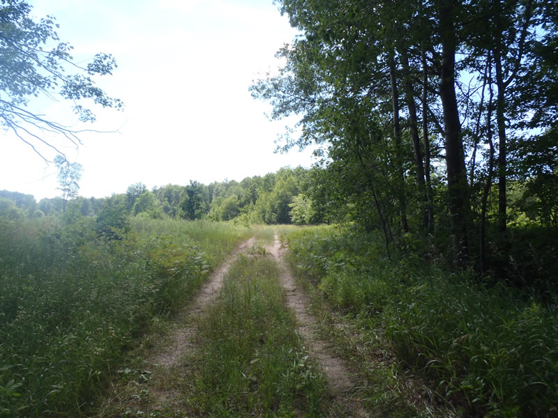
Approaches
Left Approach
Length: 102 ft.
Slope: 1% to 5%
Vegetation: Heavy
LS Factor: 0.381
Erosion: 0.0749 tons/year
Right Approach
Length: 327 ft.
Slope: Less Than 1%
Vegetation: Heavy
LS Factor: 0.05
Erosion: 0.0315 tons/year
Erosion Information
Total Erosion at Crossing: 0.1064 tons/year
Extent of Erosion: Minor
Notes: minor ditch erosion due to lacking vegetation
Summary Information
Fish Passability 1
�