Road Stream Crossing Site BEAR_BC069
Bear Creek Watershed, Beaver Creek
Makinen Rd
Maple Grove Twp,
Manistee County
Information collected by:
Site Location
GPS Coordinates: 44.38394
, -86.0043
T23N
R14W
Sec 16
Owned by Private
Fish Passability 0.5
Structure is NOT Perched
Total Erosion: 0.6549 tons/year
Severity: Moderate
Year Inventoried: 2011
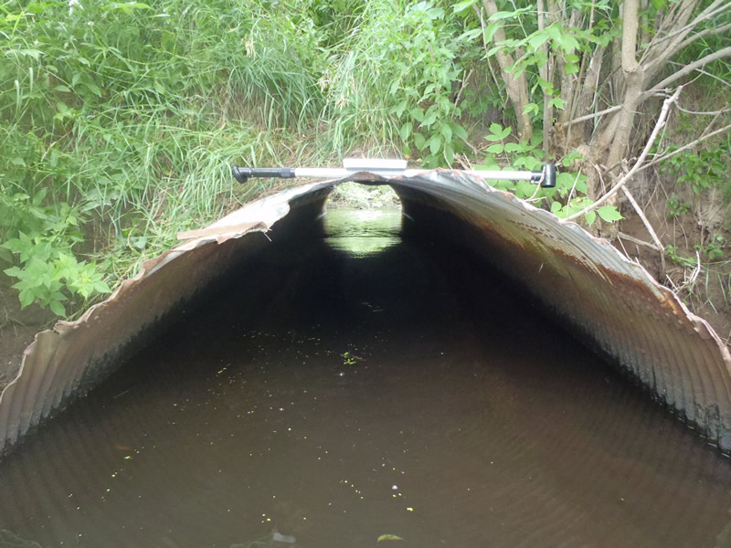
Inlet
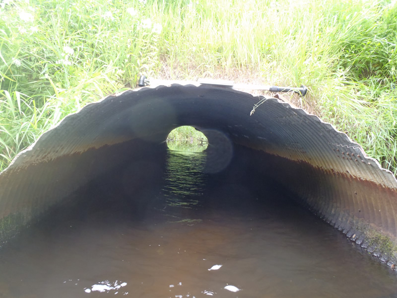
Outlet
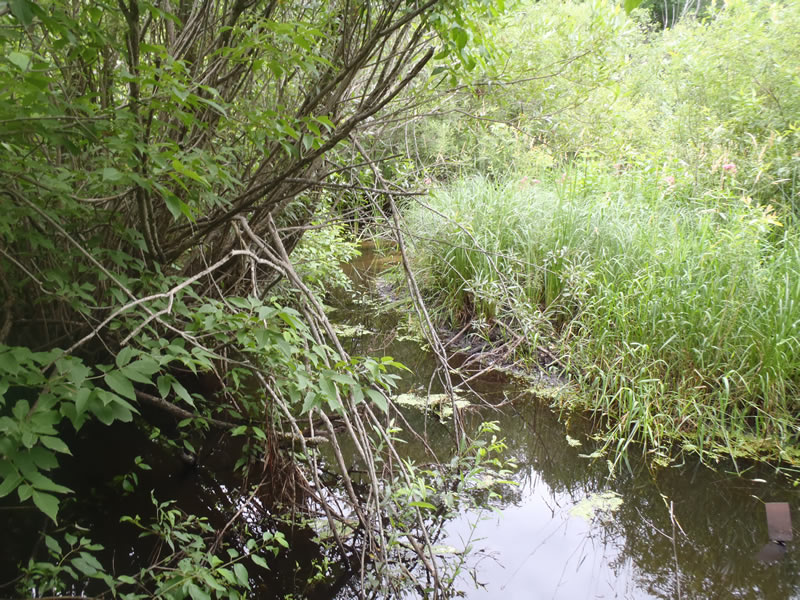
Upstream Conditions
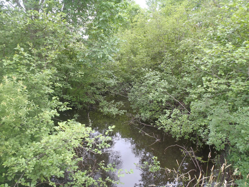
Downstream Conditions
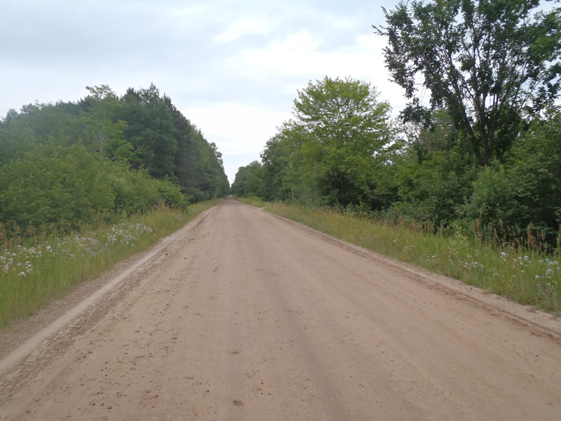
Road Approach - Left
Road Approach - Right
Crossing Information
Type of Crossing: culvert(s)
Number of Structures: 1
Structure Shape: Ellipse
Inlet Type: Mitered
Outlet Type: At Stream Grade
Structure Material: Metal
Structure Substrate: None
General Conditions: Fair
Structure Interior: corrugated
Dimensions of Structure: Length 40 ft.
, Width 6.8 ft.
, Height 4 ft.
Percentage Crushed:
In Pipe: 1% to 25%
Structure is NOT Perched
Structure Inlet
Water Depth: 1.41 ft.
Embedded Depth of Structure: 0 ft.
Water Velocity*: 0.5 ft./sec.
Structure Outlet
Water Depth: 1.36 ft.
Embedded Depth of Structure: 0 ft.
Water Velocity*: 1.2 ft./sec.
*Water Velocities were measured at the Surface
(with Meter)
Stream Information
Stream Flow: Less than Bankfull
Scour Pool: Length 25 ft.
, Width 25 ft.
, Depth 4 ft.
Riffle Information
Water Depth: 0.6 ft.
Bankfull Width: 25.1 ft.
Wetted Width: 21.6 ft.
Water Velocity: 0.9 ft./sec.
(Measured with Meter)
Dominant Substrate: Sand
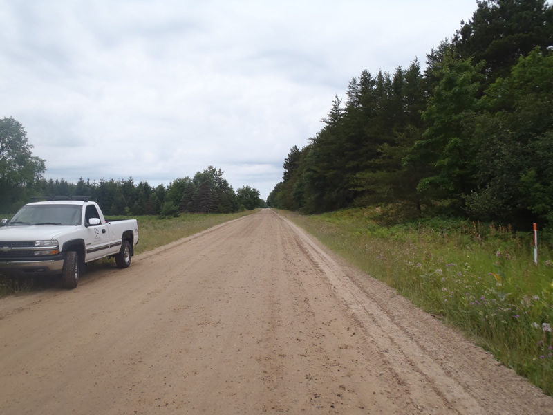
Road Information
Gravel
County Road
Road Condition: Good
Road Width at Culvert: 23 ft.
Location of Low Point: At Stream
Runoff Path: Ditch
Embankments
Upstream
Fill Depth: 6 ft.
Slope: Vertical
Downstream
Fill Depth: 5.5 ft.
Slope: Vertical
Approaches
Left Approach
Length: 1000 ft.
Slope: Less Than 1%
Vegetation: Heavy
LS Factor: 0.05
Erosion: 0.3168 tons/year
Right Approach
Length: 1000 ft.
Slope: Less Than 1%
Vegetation: Heavy
LS Factor: 0.05
Erosion: 0.3168 tons/year
Erosion Information
Total Erosion at Crossing: 0.6549 tons/year
Extent of Erosion: Minor
Erosion is occurring and corrective actions can be installed to address the problem.
Notes: Erosion caused by road runoff over steep embankments
Location of Erosion | Erosion Dimensions | Eroded Material | Material Eroded | Total Erosion | ||
facing downstream | Length | Width | Depth | Reaching Stream? | (tons/year) | |
Left Upstream Embankment |
8.5 ft. |
2.3 ft. |
1 ft. |
yes |
Sandy Loam |
0.0082 |
Left Downstream Embankment |
4 ft. |
2.5 ft. |
2 ft. |
yes |
Sand |
0.0088 |
Right Downstream Embankment |
3 ft. |
1.5 ft. |
1.5 ft. |
yes |
Sandy Loam |
0.0043 |
Summary Information
Fish Passability 0.5
�