Road Stream Crossing Site BEAR_BC072
Bear Creek Watershed, Tributary of Cedar Creek
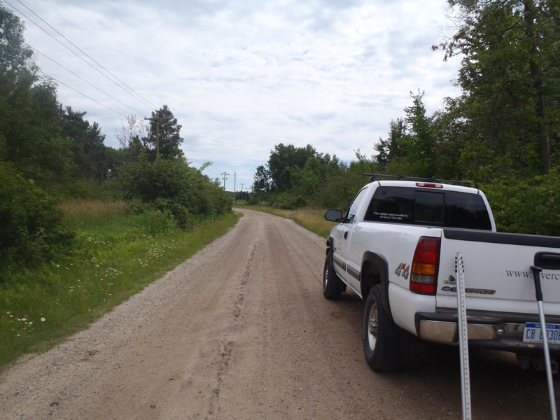
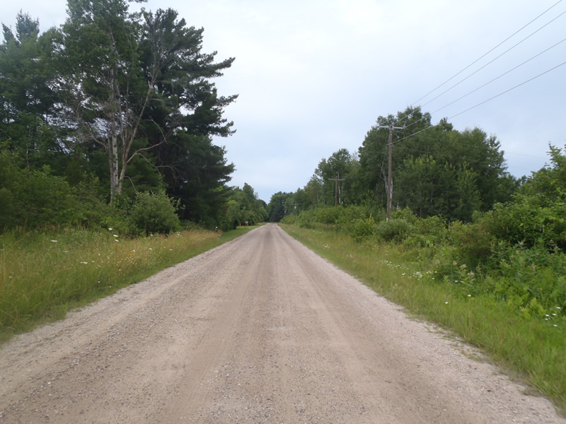
Lintula Rd
Maple Grove Twp,
Manistee County
Information collected by:
Site Location
GPS Coordinates: 44.3894
, -85.9399
T23N
R14W
Sec 13
Owned by Private
Structure is NOT Perched
Total Erosion: 0.4061 tons/year
Severity: Moderate
Year Inventoried: 2011

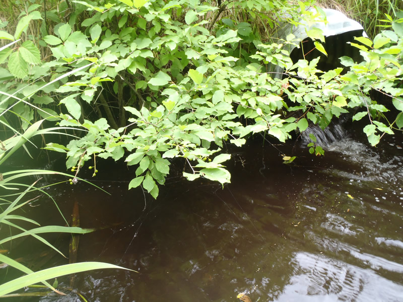
Inlet
Outlet
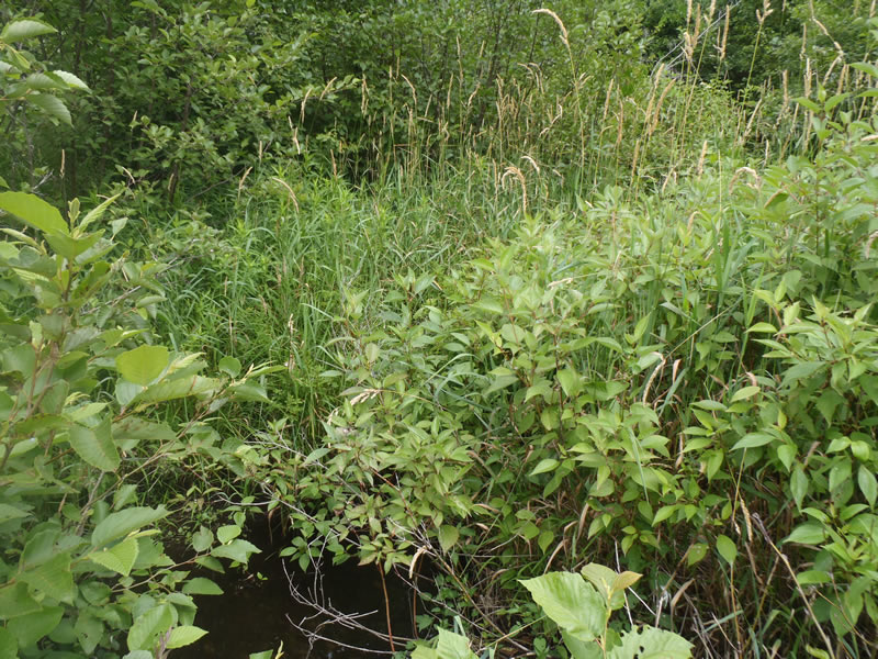
Upstream Conditions
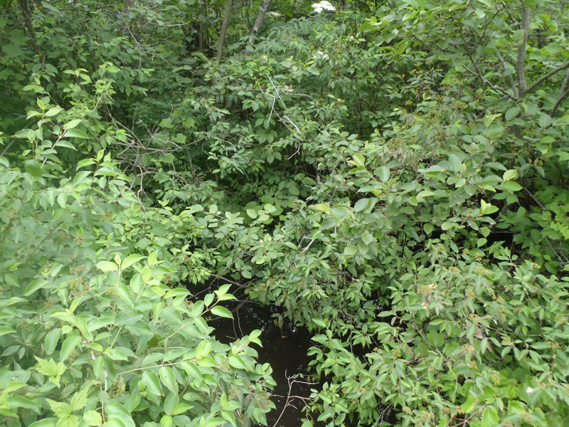
Downstream Conditions
Road Approach - Left
Road Approach - Right
Crossing Information
Type of Crossing: culvert(s)
Number of Structures: 2
Structure Shape: Round
Inlet Type: Projecting
Outlet Type: At Stream Grade
Structure Material: Metal
Structure Substrate: None
General Conditions: Fair
Multiple Culverts/Spans | ||||
Culvert/Span | Width | Length | Height | Material |
1 |
2 ft. |
32 ft. |
2 ft. |
Metal |
2 |
1.5 ft. |
30 ft. |
1.5 ft. |
Metal |
Structure Interior: corrugated
Dimensions of Structure: Length 32 ft.
, Width 2 ft.
, Height 2 ft.
Structure is NOT Perched
Structure Inlet
Water Depth: 1 ft.
Embedded Depth of Structure: 0 ft.
Water Velocity*: 0.3 ft./sec.
Structure Outlet
Water Depth: 0.25 ft.
Embedded Depth of Structure: 0 ft.
Water Velocity*: 3 ft./sec.
*Water Velocities were measured 0.15 ft. below Surface
(with Meter)
Additional Comments
Culvert #1 may become perched at low water season. Culvert #2 is at stream grade and would likely not become perched.
Stream Information
Stream Flow: Less than Bankfull
Scour Pool: Length 12 ft.
, Width 12 ft.
, Depth 2 ft.
Riffle Information
Water Depth: 0.7 ft.
Bankfull Width: 4.9 ft.
Wetted Width: 4.2 ft.
Water Velocity: 0.1 ft./sec.
(Measured with Meter)
Dominant Substrate: Sand
Road Information
Gravel
County Road
Road Condition: Good
Road Width at Culvert: 20 ft.
Location of Low Point: At Stream
Runoff Path: Ditch
Embankments
Upstream
Fill Depth: 0.4 ft.
Slope: More than 1:2
Downstream
Fill Depth: 0.4 ft.
Slope: 1:2
Approaches
Left Approach
Length: 120 ft.
Slope: Less Than 1%
Vegetation: Heavy
LS Factor: 0.05
Erosion: 0.1306 tons/year
Right Approach
Length: 220 ft.
Slope: Less Than 1%
Vegetation: Heavy
LS Factor: 0.05
Erosion: 0.2755 tons/year
Erosion Information
Total Erosion at Crossing: 0.4061 tons/year
Extent of Erosion: Stabilized
Notes:
Scour pool.
Summary Information
Erosion is an area of concern for this site.
�