Road Stream Crossing Site BEAR_BC073
Bear Creek Watershed, Tributary of Cedar Creek
Yates Rd (County Rd 597)
Maple Grove Twp,
Manistee County
Information collected by:
Site Location
GPS Coordinates: 44.38918
, -85.93633
T23N
R13W
Sec 18
Owned by Private
Fish Passability 1
Structure is NOT Perched
Total Erosion: 0.0584 tons/year
Severity: Minor
Year Inventoried: 2011
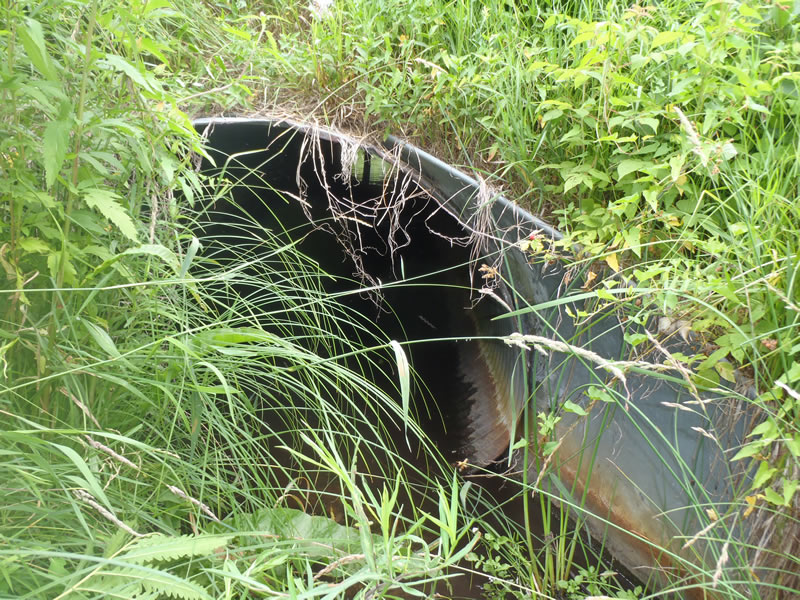
Inlet

Outlet
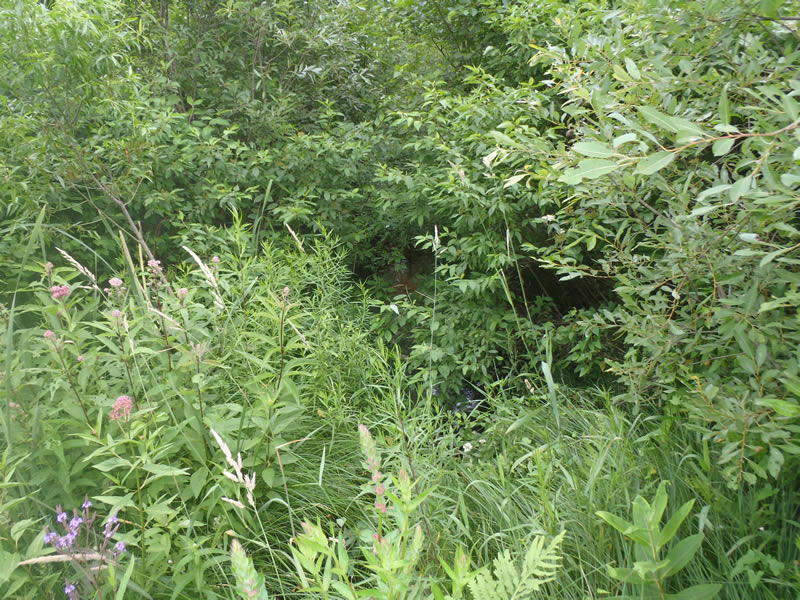
Upstream Conditions
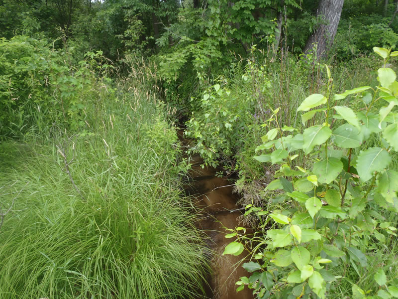
Downstream Conditions
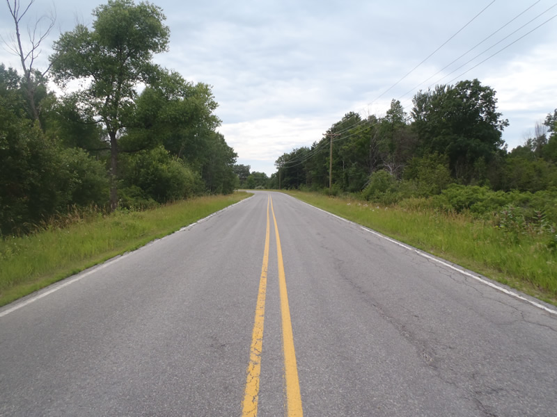
Road Approach - Left
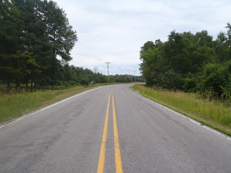
Road Approach - Right
Crossing Information
Type of Crossing: culvert(s)
Number of Structures: 1
Structure Shape: Ellipse
Inlet Type: Apron
Outlet Type: Outlet Apron
Structure Material: Metal
Structure Substrate: Sand
General Conditions: Good
Structure Interior: corrugated
Dimensions of Structure: Length 55 ft.
, Width 5.8 ft.
, Height 4 ft.
Percentage Crushed:
In Pipe: 1% to 25%
Structure is NOT Perched
Structure Inlet
Water Depth: 0.5 ft.
Embedded Depth of Structure: 0 ft.
Water Velocity*: 0.8 ft./sec.
Structure Outlet
Water Depth: 0.25 ft.
Embedded Depth of Structure: 0 ft.
Water Velocity*: 0.8 ft./sec.
*Water Velocities were measured 0.3 ft. below Surface
(with Meter)
Additional Comments
Center of culvert is braced with three timber posts
Stream Information
Stream Flow: Less than Bankfull
Riffle Information
Water Depth: 0.34 ft.
Bankfull Width: 6.1 ft.
Wetted Width: 4.8 ft.
Water Velocity: 0.9 ft./sec.
(Measured with Meter)
Dominant Substrate: Sand
Road Information
Paved
County Road
Road Condition: Fair
Road Width at Culvert: 29 ft.
Location of Low Point: Other
Runoff Path: Ditch
Embankments
Upstream
Fill Depth: 3.2 ft.
Slope: 1:1
Downstream
Fill Depth: 3.5 ft.
Slope: 1:1
Approaches
Left Approach
Length: 357 ft.
Slope: Less Than 1%
Vegetation: Heavy
LS Factor: 0.05
Erosion: 0.0171 tons/year
Right Approach
Length: 861 ft.
Slope: Less Than 1%
Vegetation: Heavy
LS Factor: 0.05
Erosion: 0.0413 tons/year
Erosion Information
Total Erosion at Crossing: 0.0584 tons/year
Summary Information
Fish Passability 1
�