Road Stream Crossing Site PLT-H-5
Platte River Watershed, Carter Creek
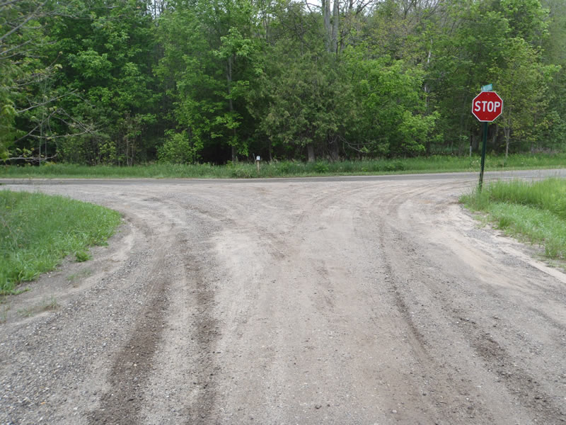
North Weldon Rd
Homestead Twp,
Benzie County
Information collected by:
GPS Coordinates: 44.63618
, -85.98002
T26
R14
Sec 22
Adjacent Land Owned by Private
Severity: Minor
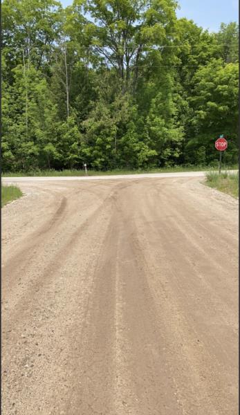
Site Location
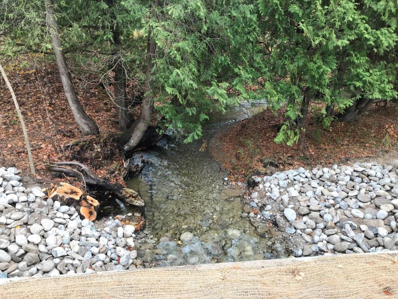
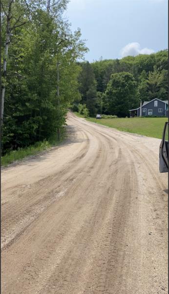
Upstream Conditions
Road Approach - Right
Downstream Conditions
Inlet
Road Approach - Right
Road Approach - Left
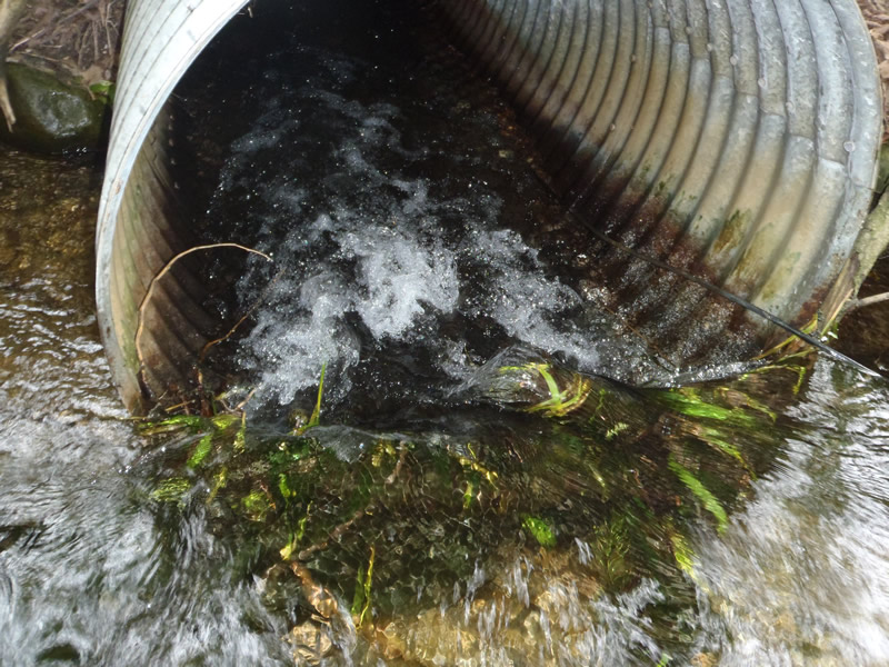
Inlet
Inlet
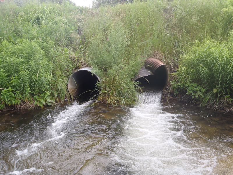
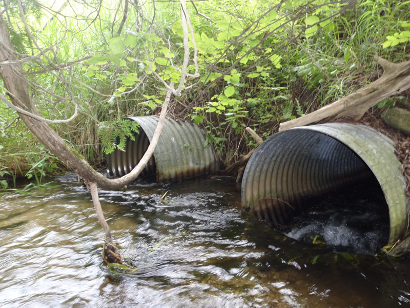
Outlet
Upstream Conditions
Inlet
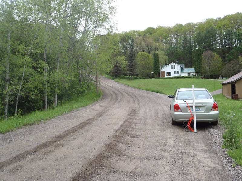
Road Approach - Left
Road Approach - Right
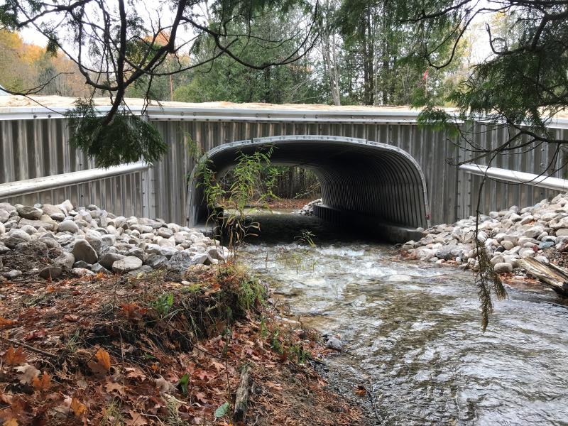
Crossing Information
Road Width at Culvert: 27.4 ft.
Road Surface: Gravel
Maintenance: year around
Low Point: At Stream
Existing Drainage Control? no
Any Failings? no
Type of Crossing: culvert(s)
(twin culvert)
Is this crossing constricted? no
Are there adjacent wetlands? no
Comments: Restored
Approaches
Left Approach
Length: 850 ft.
Slope: 6-10%
Vegetation: heavy
Right Approach
Length: 100 ft.
Slope: <1%
Vegetation: heavy
Culvert Information
Length: 7.7 ft.
Material: galvanized
Condition :good
Flow: clear
Embankments
Upstream
Fill Depth: 1.2 ft.
Embankment Slope: vertical
Downstream
Fill Depth: 0.9 ft.
Embankment Slope: vertical
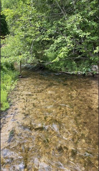
Stream Information
Upstream
Stream Width: 11.8 ft.
Stream Depth: 0.47 in.
Stream Current: fast
Stream Substrate: sand,gravel
Downstream
Stream Width: 10 ft.
Stream Depth: 1 in.
Stream Current: fast
Stream Substrate: sand,gravel
Erosion Information
Conditions
Is there Streambank erosion beside the crossing? no
Is there embankment erosion? no
Is there erosion at the culvert outlet? no
Is there erosion at the shoulder and/or ditch? no
Is there pooling at the outlet? no
Is there sand over the crossing? no
Extent of Erosion: minor
Recommended Treatments
Action Recommended? no
Add pavement? no
Pave Left Approach: 0 Lineal Feet
Pave Right Approach: 0 Lineal Feet
Add paved raised edge? no
Number of erosion control structures: 0
Number of sediment basins: 0
Number of diversion outlets: 0
Increase fill? no
Replace culvert(s)? yes
Extend culvert(s)? no
Lineal feet to extend: 0
Total Points:0
Severity:Minor
This page last updated on 2/9/2022.
�