Road Stream Crossing Site PLT-P-2
Platte River Watershed, North Branch of Platte River
Valley Rd/Gudemoos
Platte Twp,
Benzie County
Information collected by:
GPS Coordinates: 44.7228
, -85.99779
T27
R14
Sec 21
Adjacent Land Owned by Private
Severity: Moderate
Cost: $181,000.00
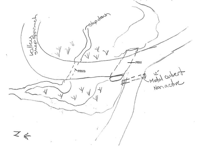
Site Location
SITE_ID
SITE_ID
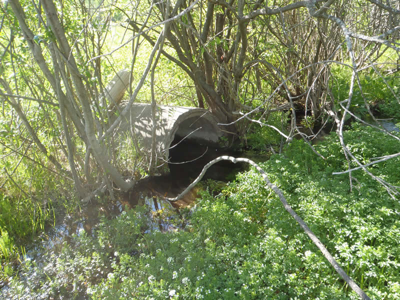
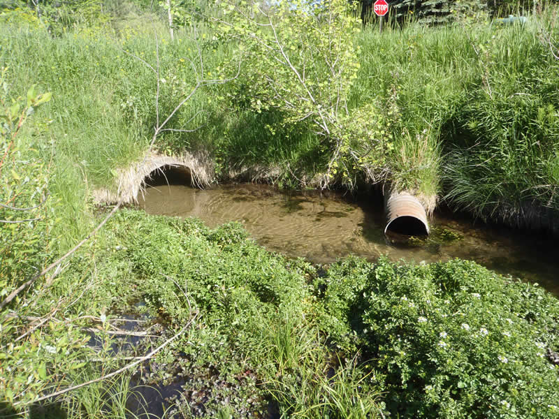
Inlet
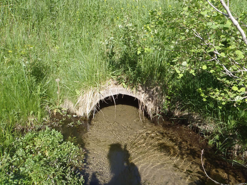
Outlet
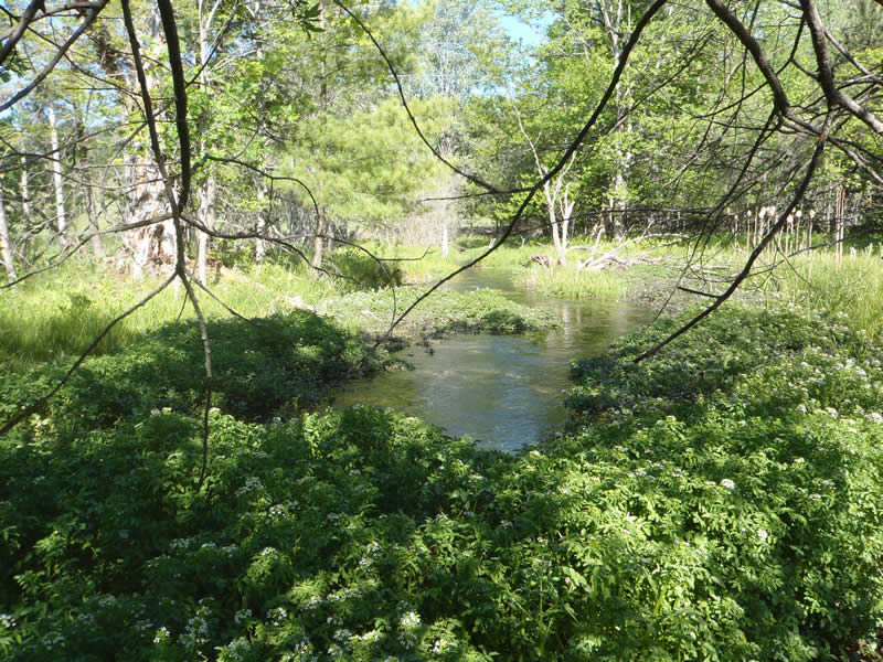
Upstream Conditions
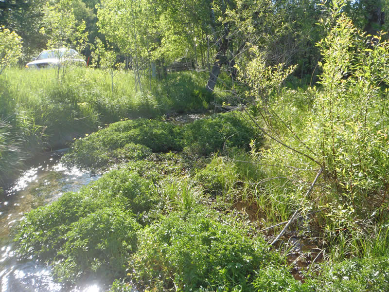
Downstream Conditions
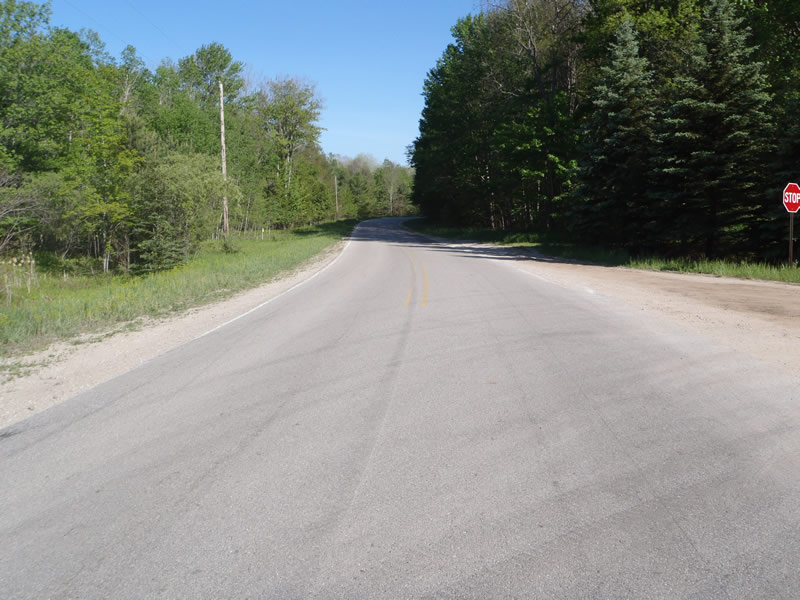
Road Approach - Left
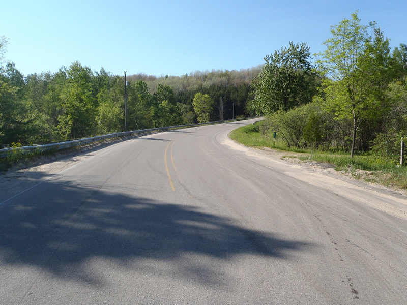
Road Approach - Right
Crossing Information
Road Width at Culvert: 40 ft.
Road Surface: Paved
Gravel
Gravel
Maintenance: year around
Low Point: At Stream
Existing Drainage Control? yes
Any Failings? yes
Type of Crossing: culvert(s)
(single culvert)
Is this crossing constricted? no
Are there adjacent wetlands? yes
Approaches
Left Approach
Length: 200 ft.
Slope: 0%
Vegetation: heavy
Right Approach
Length: 500 ft.
Slope: >10%
Vegetation: heavy
Culvert Information
Length: 70 ft.
Diameter: 3 ft.
Material: concrete
Condition :fair
Flow: clear
Embankments
Upstream
Fill Depth: 5.80000019073486 ft.
Embankment Slope: vertical
Downstream
Fill Depth: 6 ft.
Embankment Slope: vertical
Stream Information
Upstream
Stream Width: 10 ft.
Stream Depth: 1 in.
Stream Current: moderate
Stream Substrate: sand
Downstream
Stream Width: 8 ft.
Stream Depth: 1 in.
Stream Current: moderate
Stream Substrate: sand
Erosion Information
Conditions
Is there Streambank erosion beside the crossing? no
Is there embankment erosion? no
Is there erosion at the culvert outlet? no
Is there erosion at the shoulder and/or ditch? no
Is there pooling at the outlet? no
Is there sand over the crossing? no
Extent of Erosion: minor
Recommended Treatments
Action Recommended? no
Add pavement? yes
Pave Left Approach: 0 Lineal Feet
Pave Right Approach: 0 Lineal Feet
Add paved raised edge? yes
Number of erosion control structures: 0
Number of sediment basins: 0
Number of diversion outlets: 0
Increase fill? no
Replace culvert(s)? yes
Extend culvert(s)? no
Lineal feet to extend: 0
Total Points:0
Severity:Moderate
This page last updated on 2/9/2022.
�