Road Stream Crossing Site B-025
Betsie River Watershed, Peppermint Creek tributary
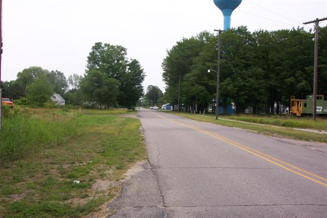
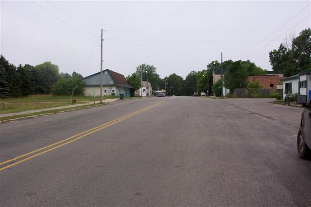
Thompson Rd
Weldon Twp,
Benzie County
Information collected by:
GPS Coordinates: 44.51944066
, -85.9408238
T25N
R14W
Sec 36
Severity: Minor
Cost: $0.00
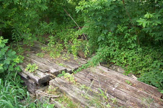
Site Location
Inlet
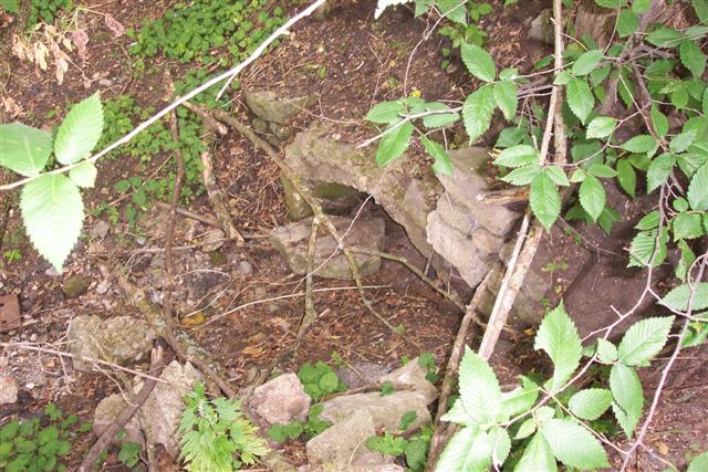
Outlet
Road Approach - Left
Road Approach - Right
Crossing Information
Road Width at Culvert: 22 ft.
Road Surface: Paved
Maintenance: year around
Low Point: At Stream
Existing Drainage Control? no
Any Failings? no
Type of Crossing: culvert(s)
(single culvert)
Is this crossing constricted? no
Are there adjacent wetlands? no
Comments: Defunct water channel.
Approaches
Left Approach
Length: 0 ft.
Slope: 0%
Vegetation: partial
Right Approach
Length: 0 ft.
Slope: 0%
Vegetation: partial
Culvert Information
Length: ? ft.
Diameter: 24 ft.
Material: galvanized
Condition :poor
Flow: obstructed
Embankments
Upstream
Fill Depth: 5 ft.
Embankment Slope: vertical
Downstream
Fill Depth: 5 ft.
Embankment Slope: 1:1
Stream Information
Upstream
Stream Width: 0 ft.
Stream Depth: 0 in.
Stream Current: none
Stream Substrate: muck
Downstream
Stream Width: 0 ft.
Stream Depth: 0 in.
Stream Current: none
Stream Substrate: muck
Erosion Information
Conditions
Is there Streambank erosion beside the crossing? no
Is there embankment erosion? no
Is there erosion at the culvert outlet? no
Is there erosion at the shoulder and/or ditch? no
Is there pooling at the outlet? no
Is there sand over the crossing? no
Other Conditions: Crossings dammed, defunct water channel. Garbage on-site.
Extent of Erosion: minor
Recommended Treatments
Action Recommended? no
Add pavement? no
Add paved raised edge? no
Number of erosion control structures: 0
Number of sediment basins: 0
Number of diversion outlets: 0
Increase fill? no
Replace culvert(s)? no
Dimensions of replacement: 0
Extend culvert(s)? no
Lineal feet to extend: 0
Other Treatments: Site clean-up.
Severity:Minor
This page last updated on 2/9/2022.
�