Road Stream Crossing Site B-089
Betsie River Watershed, Betsie River tributary
Betsie Valley Trail
Crystal Lake Twp,
Benzie County
Information collected by:
GPS Coordinates: 44.63431422
, -86.1464038
T26N
R15W
Sec 20
Adjacent Land Owned by Private
Severity: Minor
Cost: $0.00
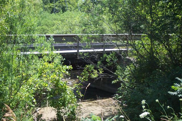
Site Location
Inlet
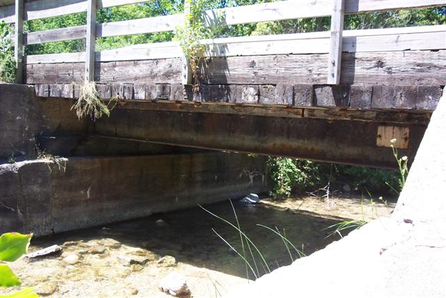
Outlet
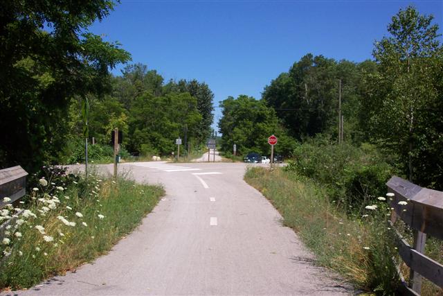
Road Approach - Left
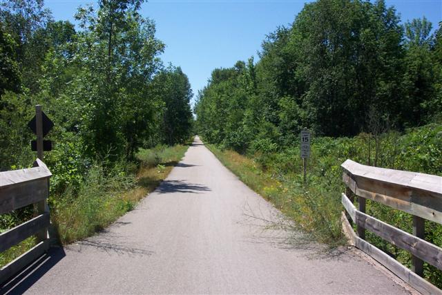
Road Approach - Right
Crossing Information
Road Width at Culvert: 12 ft.
Road Surface: Gravel
Maintenance: seasonal
Low Point: At Stream
Existing Drainage Control? no
Any Failings? no
Type of Crossing: Bridge
Is this crossing constricted? no
Are there adjacent wetlands? yes
Approaches
Left Approach
Length: 0 ft.
Slope: 0%
Vegetation: heavy
Right Approach
Length: 0 ft.
Slope: 0%
Vegetation: heavy
Culvert Information
Embankments
Upstream
Fill Depth: 0 ft.
Embankment Slope: 1.5:1
Downstream
Fill Depth: 0 ft.
Embankment Slope: 1.5:1
Stream Information
Upstream
Stream Width: 15 ft.
Stream Depth: 1 in.
Stream Current: moderate
Stream Substrate: sand,gravel
Downstream
Stream Width: 14 ft.
Stream Depth: 1 in.
Stream Current: moderate
Stream Substrate: sand,gravel
Erosion Information
Conditions
Is there Streambank erosion beside the crossing? no
Is there embankment erosion? yes
Is there erosion at the culvert outlet? no
Is there erosion at the shoulder and/or ditch? no
Is there pooling at the outlet? no
Is there sand over the crossing? no
Extent of Erosion: minor
Recommended Treatments
Action Recommended? yes
Add pavement? no
Add paved raised edge? no
Number of erosion control structures: 0
Number of sediment basins: 0
Number of diversion outlets: 0
Increase fill? no
Replace culvert(s)? no
Dimensions of replacement: 0
Extend culvert(s)? no
Lineal feet to extend: 0
Severity:Minor
This page last updated on 2/9/2022.
�