Road Stream Crossing Site M-054
Betsie River Watershed, Betsie River tributary
Big Four Rd
Springdale Twp,
Manistee County
Information collected by:
GPS Coordinates: 44.49319789
, -86.04091152
T24N
R14W
Sec 7
Adjacent Land Owned by Private
Severity: Moderate
Cost: $5,000.00
Site Location
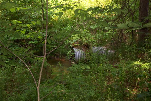
Inlet
Outlet
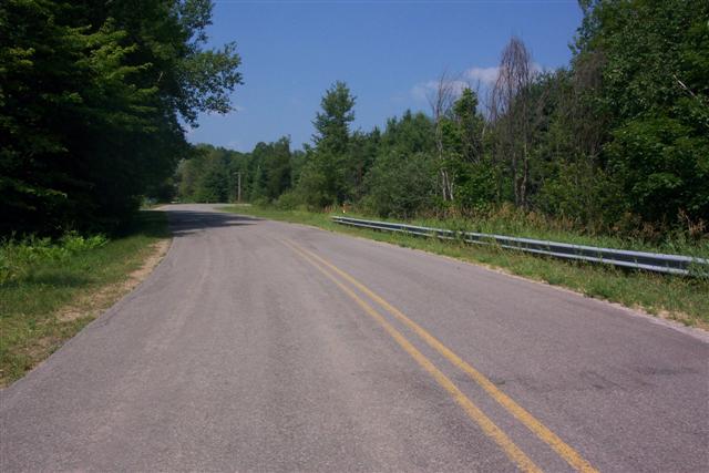
Road Approach - Left
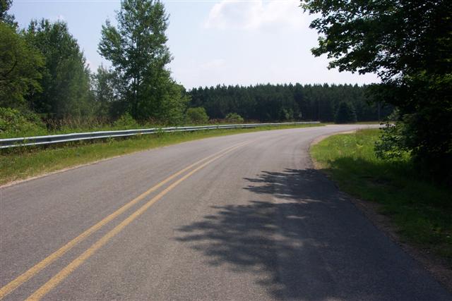
Road Approach - Right
Crossing Information
Road Width at Culvert: 23 ft.
Road Surface: Paved
Maintenance: year around
Low Point: At Stream
Existing Drainage Control? no
Any Failings? no
Type of Crossing: culvert(s)
(single culvert)
Is this crossing constricted? no
Are there adjacent wetlands? yes
Approaches
Left Approach
Length: 500 ft.
Slope: 1-5%
Vegetation: heavy
Right Approach
Length: 0 ft.
Slope: 0%
Vegetation: heavy
Culvert Information
Length: 70 ft.
Diameter: 36 ft.
Material: galvanized
Condition :fair
Flow: fish passage problem
Embankments
Upstream
Fill Depth: 25 ft.
Embankment Slope: 1:1
Downstream
Fill Depth: 25 ft.
Embankment Slope: 1:1
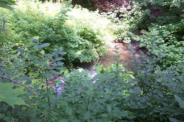
Stream Information
Upstream
Stream Width: 3 ft.
Stream Depth: 2 in.
Stream Current: moderate
Stream Substrate: sand
Downstream
Stream Width: 3 ft.
Stream Depth: 1 in.
Stream Current: fast
Stream Substrate: sand
Erosion Information
Conditions
Is there Streambank erosion beside the crossing? no
Is there embankment erosion? no
Is there erosion at the culvert outlet? no
Is there erosion at the shoulder and/or ditch? no
Is there pooling at the outlet? no
Is there sand over the crossing? no
Other Conditions: Pool formation at inlet from private perched culvert and pond.
Extent of Erosion: moderate
Recommended Treatments
Action Recommended? no
Add pavement? no
Add paved raised edge? no
Number of erosion control structures: 0
Number of sediment basins: 0
Number of diversion outlets: 0
Increase fill? no
Replace culvert(s)? no
Dimensions of replacement: 0
Extend culvert(s)? no
Lineal feet to extend: 0
Other Treatments: Private culvert needs to be replaced/removed and pond removed.
Severity:Moderate
This page last updated on 2/9/2022.
�