Road Stream Crossing Site P143
Pine River Watershed, Tributary to Pine River
No 35 Rd
Cherry Grove Twp,
Wexford County
Information collected by:
GPS Coordinates: 44.20140689
, -85.47605754
T21N
R10W
Sec 24
Adjacent Land Owned by Private
Severity: Moderate
Cost: $28,200.00
Site Location
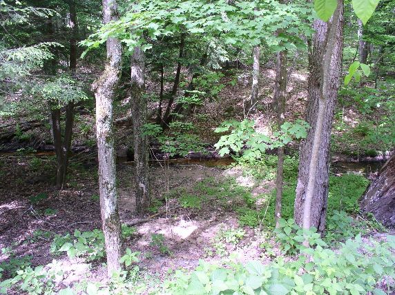
Inlet
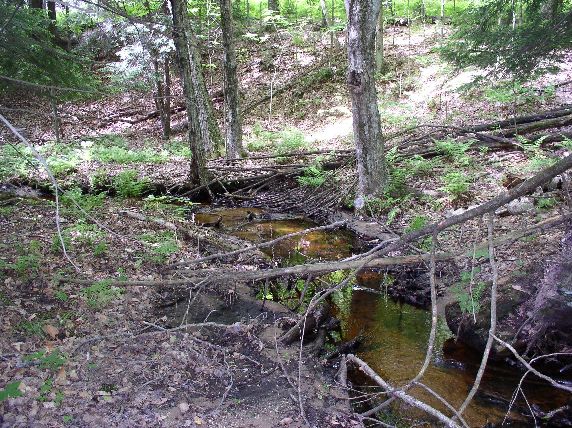
Outlet
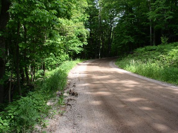
Road Approach - Left
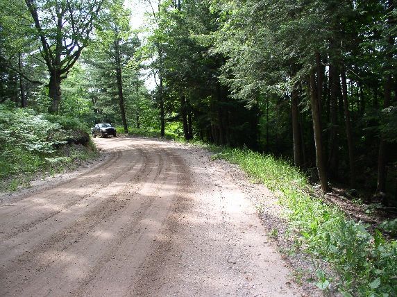
Road Approach - Right
Crossing Information
Road Width at Culvert: 18 ft.
Road Surface: Sand
Gravel
Gravel
Maintenance: year around
Low Point: Other
Existing Drainage Control? no
Any Failings? no
Type of Crossing: Contact Point
(road/stream contact)
Is this crossing constricted? no
Are there adjacent wetlands? no
Approaches
Left Approach
Length: 400 ft.
Slope: 1-5%
Vegetation: partial
Right Approach
Length: 400 ft.
Slope: 1-5%
Vegetation: partial
Culvert Information
Length: n/a ft.
Diameter: n/a ft.
Material: n/a
Condition :n/a
Embankments
Upstream
Fill Depth: 0 ft.
Downstream
Fill Depth: 0 ft.
Stream Information
Upstream
Stream Width: 3 ft.
Stream Depth: 0.5 in.
Stream Current: moderate
Stream Substrate: sand,gravel
Downstream
Stream Width: 3 ft.
Stream Depth: 0.5 in.
Stream Current: moderate
Stream Substrate: sand,gravel
Erosion Information
Conditions
Is there Streambank erosion beside the crossing? no
Is there embankment erosion? yes
Is there erosion at the culvert outlet? no
Is there erosion at the shoulder and/or ditch? yes
Is there pooling at the outlet? no
Is there sand over the crossing? yes
Extent of Erosion: extreme
Cause of Erosion: road runoff
Recommended Treatments
Action Recommended? no
Add pavement? yes
Add paved raised edge? yes
Number of erosion control structures: 0
Number of sediment basins: 0
Number of diversion outlets: 4
Increase fill? no
Replace culvert(s)? no
Dimensions of replacement: 0
Extend culvert(s)? no
Lineal feet to extend: 0
Other Treatments: place rock riprap, revegetation
Comments: extreme road erosion into stream
Severity:Moderate
This page last updated on 2/9/2022.
�