Road Stream Crossing Site P178
Pine River Watershed, Pine River
Low Bridge Rd
Crossing: Low Bridge
Norman Twp,
Manistee County
Information collected by:
GPS Coordinates: 44.21803179
, -85.90215385
T21N
R13W
Sec 17
Adjacent Land Owned by Federal
Severity: Moderate
Cost: $153,500.00
Site Location
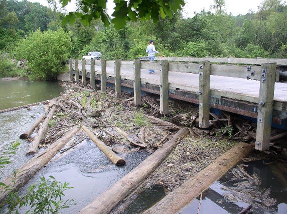
Inlet
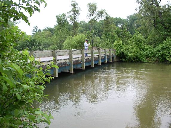
Outlet
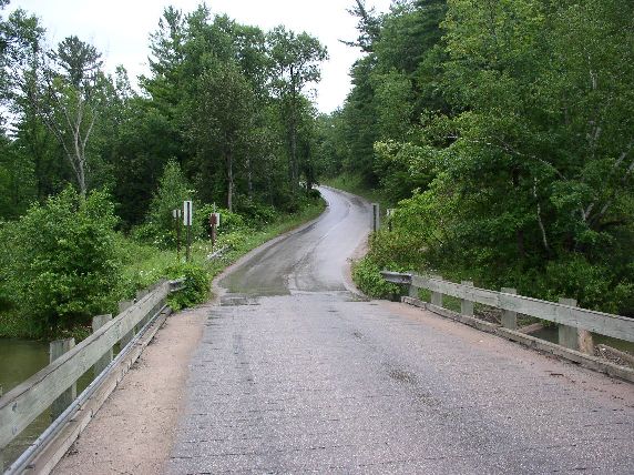
Road Approach - Left
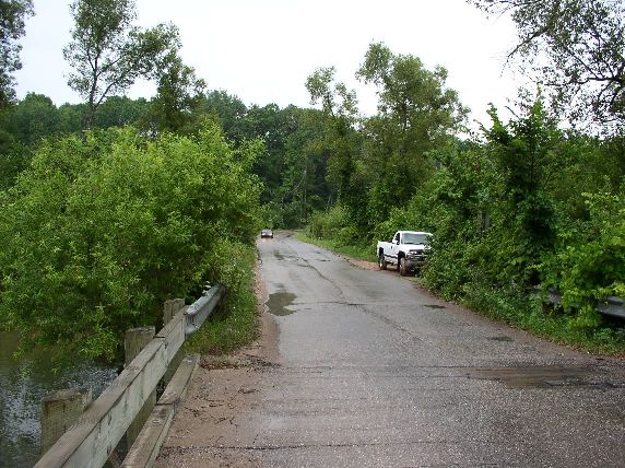
Road Approach - Right
Crossing Information
Road Width at Culvert: 20 ft.
Road Surface: Paved
Maintenance: year around
Low Point: Other
Existing Drainage Control? yes
Any Failings? yes
Type of Crossing: Bridge
Is this crossing constricted? no
Are there adjacent wetlands? no
Approaches
Left Approach
Length: 0 ft.
Slope: 0%
Vegetation: heavy
Right Approach
Length: 900 ft.
Slope: 6-10%
Vegetation: heavy
Culvert Information
Length: n/a ft.
Diameter: n/a ft.
Material: n/a
Condition :n/a
Embankments
Upstream
Fill Depth: 0 ft.
Downstream
Fill Depth: 0 ft.
Stream Information
Upstream
Stream Width: 70 ft.
Stream Depth: 2 in.
Stream Current: moderate
Stream Substrate: sand
Downstream
Stream Width: 70 ft.
Stream Depth: 2 in.
Stream Current: moderate
Stream Substrate: sand
Erosion Information
Conditions
Is there Streambank erosion beside the crossing? no
Is there embankment erosion? no
Is there erosion at the culvert outlet? no
Is there erosion at the shoulder and/or ditch? no
Is there pooling at the outlet? no
Is there sand over the crossing? yes
Other Conditions: bridge catchs a lot of debris on upstream side
Extent of Erosion: moderate
Cause of Erosion: height of the bridge above the river
Recommended Treatments
Action Recommended? no
Add pavement? yes
Add paved raised edge? no
Number of erosion control structures: 0
Number of sediment basins: 0
Number of diversion outlets: 0
Increase fill? no
Replace culvert(s)? no
Dimensions of replacement: 0
Extend culvert(s)? no
Lineal feet to extend: 0
Other Treatments: replace bridge at a higher elevation than the current bridge. Repave North Approach so curb and gutter is being used effectively.
Severity:Moderate
This page last updated on 2/9/2022.
�