Road Stream Crossing Site S719
Boardman River Watershed, South Branch Boardman River
US 131
Crossing: US-131 / South Branch Boardman River
Boardman Twp,
Kalkaska County
Information collected by:
GPS Coordinates: 44.64398
, -85.28282
T26N
R08W
Sec 16
Adjacent Land Owned by Local Government
Severity: Minor
Site Location
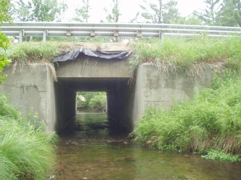
Inlet
Road Approach - Left
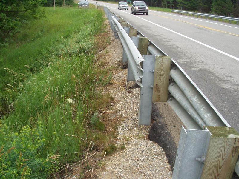
Road Approach - Right
Crossing Information
Road Surface: Paved
Maintenance: year around
Existing Drainage Control? no
Any Failings? no
Type of Crossing: Bridge
Is this crossing constricted? no
Are there adjacent wetlands? no
Approaches
Left Approach
Right Approach
Culvert Information
Material: concrete
Embankments
Upstream
Downstream
Stream Information
Upstream
Downstream
Erosion Information
Conditions
Is there Streambank erosion beside the crossing? no
Is there embankment erosion? no
Is there erosion at the culvert outlet? no
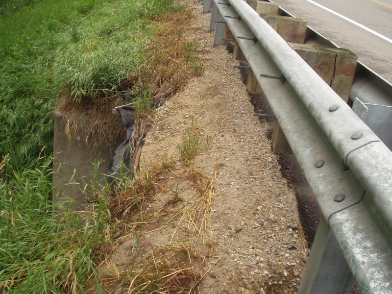
Is there erosion at the shoulder and/or ditch? yes
Is there pooling at the outlet? no
Is there sand over the crossing? no
Extent of Erosion: minor
Cause of Erosion: road runoff
Recommended Treatments
Action Recommended? yes
Add pavement? no
Add paved raised edge? no
Increase fill? no
Replace culvert(s)? no
Extend culvert(s)? no
Comments: Replace gravel with topsoil on upstream shoulder over bridge. Also increase raised paved edge over upstream side of crossing.
Severity:Minor
This page last updated on 2/9/2022.
�