Road Stream Crossing Site S724
Boardman River Watershed, Jaxon Creek
Snowmobile Trail
Paradise Twp,
Grand Traverse County
Information collected by:
GPS Coordinates: 44.63228
, -85.57407
T26N
R10W
Sec 19
Adjacent Land Owned by State
Severity: Restored
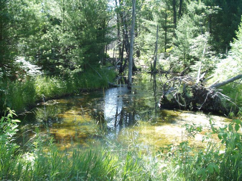
Site Location
Inlet
Outlet
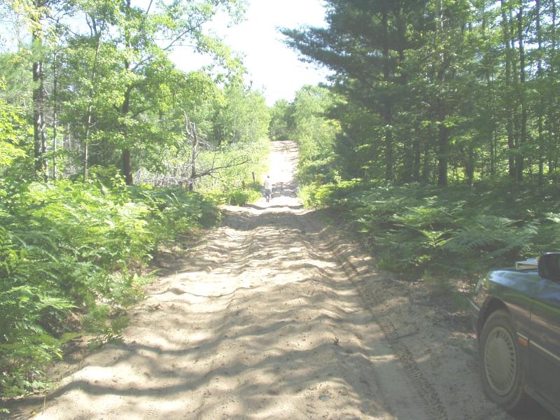
Road Approach - Left
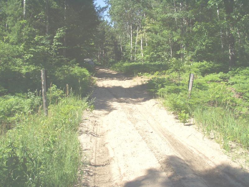
Road Approach - Right
Crossing Information
Road Width at Culvert: 9 ft.
Road Surface: Sand
Low Point: At Stream
Existing Drainage Control? no
Any Failings? no
Type of Crossing: culvert(s)
(single culvert)
Is this crossing constricted? yes
Are there adjacent wetlands? yes
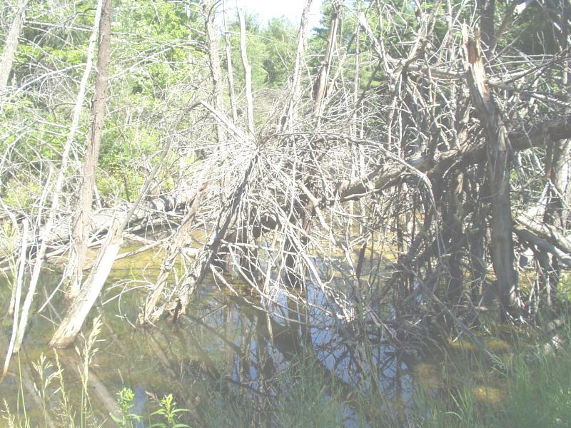
Comments: Beaver activity on both sides of crossing, stream dimensions impacted.
Approaches
Left Approach
Length: 250 ft.
Slope: 1-5%
Vegetation: heavy
Right Approach
Length: 175 ft.
Slope: 6-10%
Vegetation: heavy
Culvert Information
Shape: round
Length: 20 ft.
Diameter: 3 ft diameter ft.
Material: steel
Condition :poor
Embankments
Upstream
Fill Depth: 4 ft.
Embankment Slope: 1:1 slope
Downstream
Fill Depth: 4 ft.
Embankment Slope: 1:1 slope
Stream Information
Upstream
Stream Current: none
Stream Substrate: muck
Downstream
Stream Current: none
Stream Substrate: muck
Erosion Information
Conditions
Is there Streambank erosion beside the crossing? no
Is there embankment erosion? yes
Is there erosion at the culvert outlet? no
Is there erosion at the shoulder and/or ditch? yes
Is there pooling at the outlet? no
Is there sand over the crossing? no
Extent of Erosion: moderate
Recommended Treatments
Action Recommended? yes
Add pavement? no
Add paved raised edge? no
Increase fill? no
Replace culvert(s)? no
Dimensions of replacement: round, galvanized, 4 ft diameter, 40 feet long
Extend culvert(s)? no
Other Treatments: rock riprap, revegetation
Comments: Recommend an installation of a beaver guard on upstream end of new culvert. Keep upstream beaver dams intact and remove downstream dams to better drain the job site prior to construction.
Severity:Restored
This page last updated on 2/9/2022.
�