Road Stream Crossing Site S424
Boardman River Watershed, Jackson Creek
M-113
Crossing: M-113 / Jackson Creek
Paradise Twp,
Grand Traverse County
Information collected by:
GPS Coordinates: 44.58461
, -85.48171
T25N
R10W
Sec 2, 11
Adjacent Land Owned by Private
Severity: Minor
Site Location
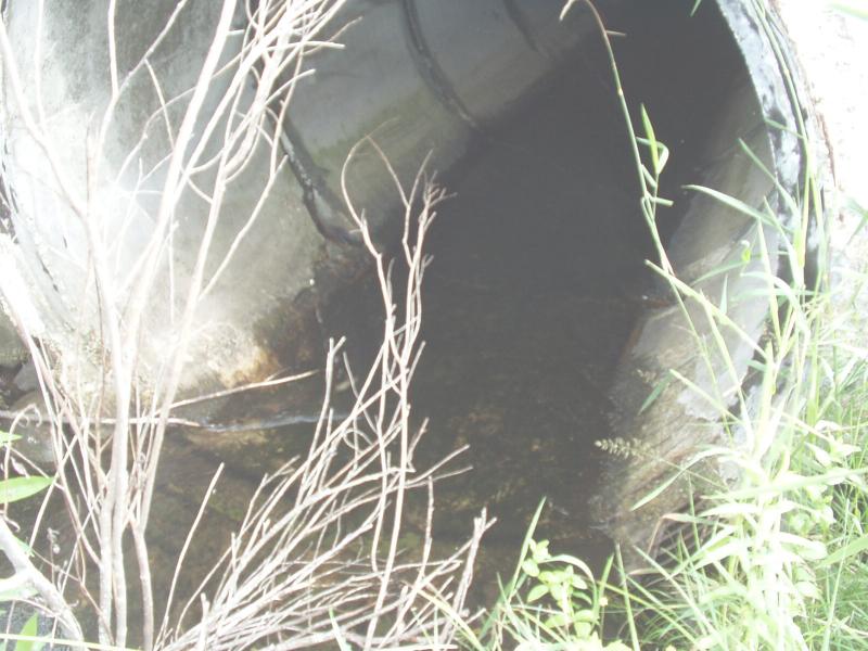
Inlet
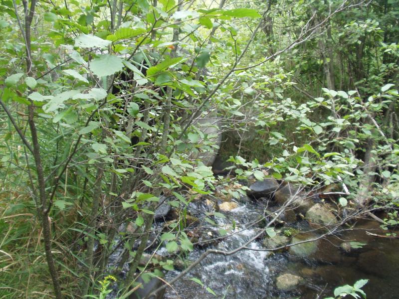
Outlet
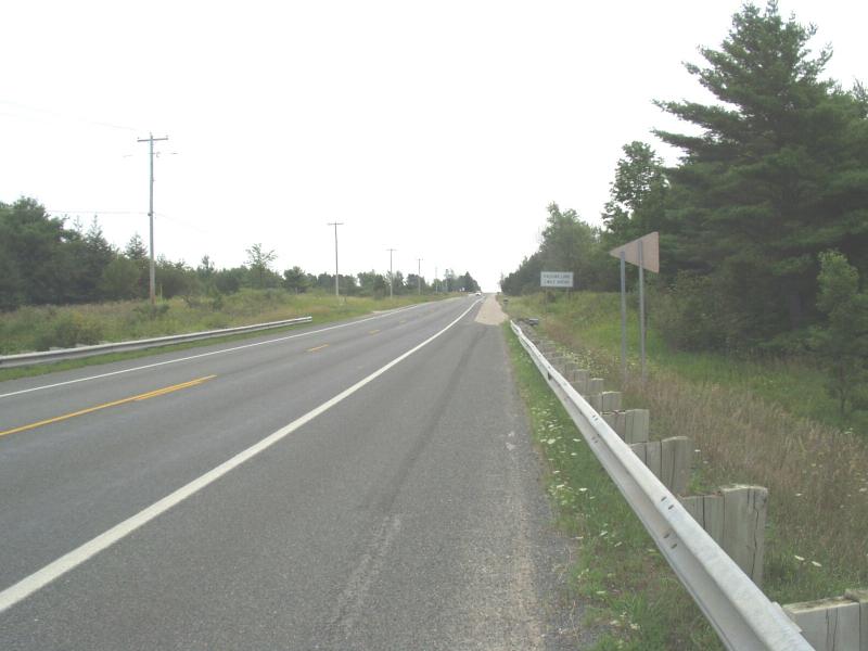
Road Approach - Left
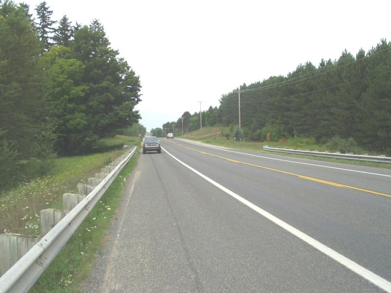
Road Approach - Right
Crossing Information
Road Surface: Paved
Maintenance: year around
Low Point: At Stream
Existing Drainage Control? no
Any Failings? no
Type of Crossing: culvert(s)
(single culvert)
Is this crossing constricted? yes
Are there adjacent wetlands? yes
Approaches
Left Approach
Slope: 1-5%
Vegetation: heavy
Right Approach
Slope: 1-5%
Vegetation: heavy
Culvert Information
Shape: round
Diameter: 6 ft diameter ft.
Material: concrete
Condition :poor
Flow: clear
Embankments
Upstream
Embankment Slope: 1:1 slope
Downstream
Embankment Slope: 1:1 slope
Stream Information
Upstream
Stream Width: 6 ft.
Stream Depth: 8 in.
Stream Current: moderate
Stream Substrate: sand
Downstream
Stream Width: 6 ft.
Stream Depth: 12 in.
Stream Current: moderate
Stream Substrate: sand
Erosion Information
Conditions
Is there Streambank erosion beside the crossing? no
Is there embankment erosion? no
Is there erosion at the culvert outlet? no
Is there erosion at the shoulder and/or ditch? no
Is there pooling at the outlet? yes
Is there sand over the crossing? no
Extent of Erosion: minor
Recommended Treatments
Action Recommended? yes
Add pavement? no
Add paved raised edge? no
Increase fill? no
Replace culvert(s)? no
Extend culvert(s)? no
Comments: Rocks at outlet are helping to prevent enlargement of the plunge pool.
Culvert should be replaced if any further road work is to be completed, or if culvert condition worsens. Concrete is failing at inlet.
Culvert should be replaced if any further road work is to be completed, or if culvert condition worsens. Concrete is failing at inlet.
Severity:Minor
This page last updated on 2/9/2022.
�