Road Stream Crossing Site S750
Boardman River Watershed, Jackson Creek
Gleaner Hall Rd
Crossing: Gleaner Hall Road / Jackson Creek
Paradise Twp,
Grand Traverse County
Information collected by:
GPS Coordinates: 44.55563
, -85.47504
T25N
R10W
Sec 13, 24
Adjacent Land Owned by Private
Severity: Severe
Site Location
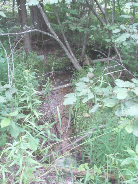
Inlet
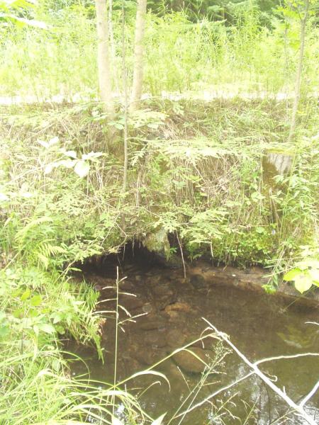
Outlet
Road Approach - Left
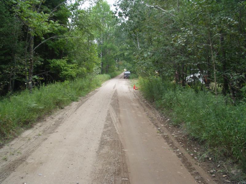
Road Approach - Right
Crossing Information
Road Width at Culvert: 17 ft.
Road Surface: Sand
Gravel
Gravel
Maintenance: seasonal
Existing Drainage Control? no
Any Failings? no
Type of Crossing: culvert(s)
(single culvert)
Is this crossing constricted? yes
Are there adjacent wetlands? yes
Approaches
Left Approach
Slope: 1-5%
Vegetation: heavy
Right Approach
Slope: 1-5%
Vegetation: heavy
Culvert Information
Shape: round
Length: 26 ft.
Diameter: 1.5 ft diameter ft.
Material: galvanized
Condition :poor
Flow: clear
Embankments
Upstream
Fill Depth: 2.5 ft.
Embankment Slope: 1:1 slope
Downstream
Fill Depth: 2.5 ft.
Embankment Slope: vertical
Stream Information
Upstream
Stream Width: 2 ft.
Stream Depth: 2 in.
Stream Current: moderate
Stream Substrate: gravel
Downstream
Stream Width: 2 ft.
Stream Depth: 2 in.
Stream Current: moderate
Stream Substrate: gravel
Erosion Information
Conditions
Is there Streambank erosion beside the crossing? no
Is there embankment erosion? yes
Is there erosion at the culvert outlet? no
Is there erosion at the shoulder and/or ditch? yes
Is there pooling at the outlet? yes
Is there sand over the crossing? no
Extent of Erosion: severe
Cause of Erosion: undersized culvert, storm runoff
Recommended Treatments
Action Recommended? yes
Add pavement? no
Add paved raised edge? no
Increase fill? no
Replace culvert(s)? no
Dimensions of replacement: 3 ft diameter, 40 feet long, round, galvanized
Extend culvert(s)? no
Other Treatments: Rock rip rap, revegetation, bank sloping
Comments: Culvert not visible at outlet.
Severity:Severe
This page last updated on 2/9/2022.
�