Road Stream Crossing Site S060
Boardman River Watershed, Robbin's Creek
Private Trail
Garfield Twp,
Grand Traverse County
Information collected by:
GPS Coordinates: 44.70053
, -85.63062
T27N
R11W
Sec 34
Adjacent Land Owned by Private
Severity: Severe
Site Location
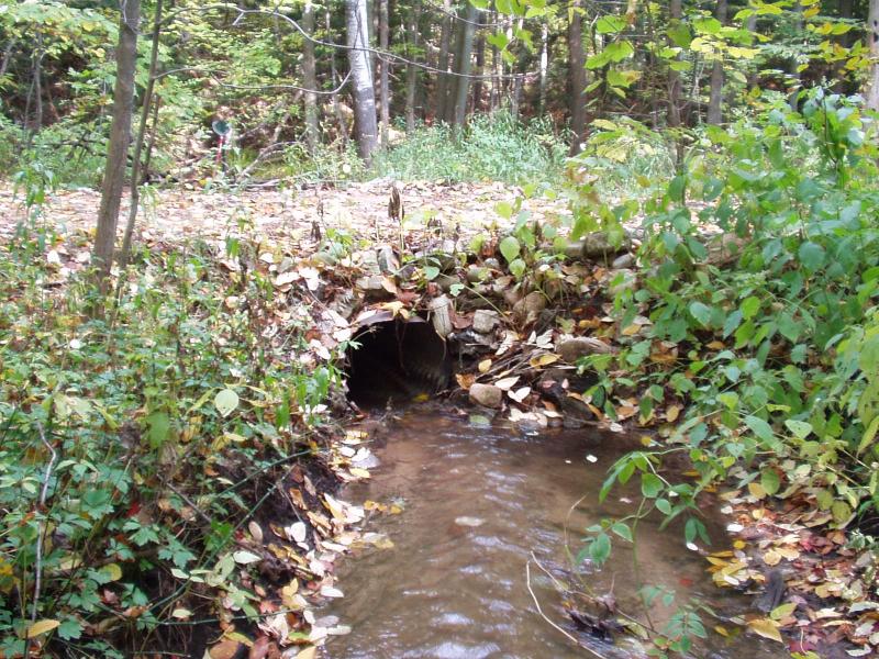
Inlet
Outlet
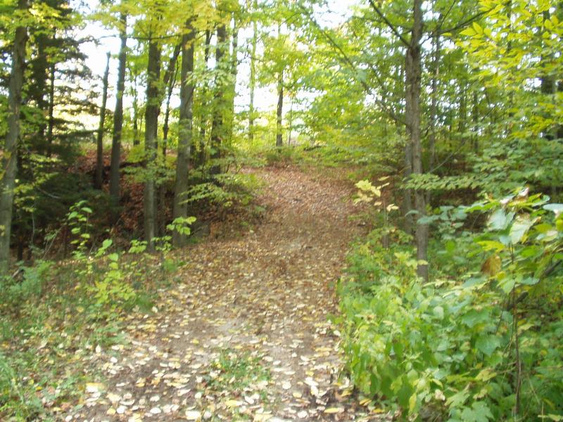
Road Approach - Left
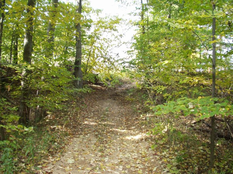
Road Approach - Right
Crossing Information
Road Width at Culvert: 8 ft.
Road Surface: Sand
Maintenance: seasonal
Low Point: At Stream
Existing Drainage Control? no
Any Failings? no
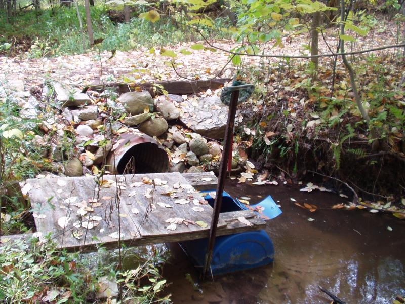
Type of Crossing: culvert(s)
(single culvert)
Is this crossing constricted? yes
Are there adjacent wetlands? yes
Approaches
Left Approach
Slope: 6-10%
Vegetation: heavy
Right Approach
Slope: 6-10%
Vegetation: heavy
Culvert Information
Shape: round
Length: 12 ft.
Diameter: 1.5 ft diameter ft.
Material: galvanized
Condition :poor
Flow: clear
Embankments
Upstream
Fill Depth: 1 ft.
Embankment Slope: 1:1 slope
Downstream
Fill Depth: 1 ft.
Embankment Slope: 1:1 slope
Stream Information
Upstream
Stream Width: 6 ft.
Stream Depth: 3 in.
Stream Current: fast
Stream Substrate: sand,gravel
Downstream
Stream Width: 10 ft.
Stream Depth: 24 in.
Stream Current: moderate
Stream Substrate: sand
Erosion Information
Conditions
Is there Streambank erosion beside the crossing? yes
Is there embankment erosion? yes
Is there erosion at the culvert outlet? no
Is there erosion at the shoulder and/or ditch? no
Is there pooling at the outlet? yes
Is there sand over the crossing? yes
Extent of Erosion: severe
Cause of Erosion: Inadequate culvert, storm runoff
Recommended Treatments
Action Recommended? yes
Add pavement? no
Add paved raised edge? no
Increase fill? no
Replace culvert(s)? no
Dimensions of replacement: open bottom structure, 8 ft wide 20 ft long
Extend culvert(s)? no
Comments: Crossing has washed out during major rain events in the past contributing major amounts of sediment.
Severity:Severe
This page last updated on 2/9/2022.
�