Road Stream Crossing Site S069
Boardman River Watershed, Robbin's Creek
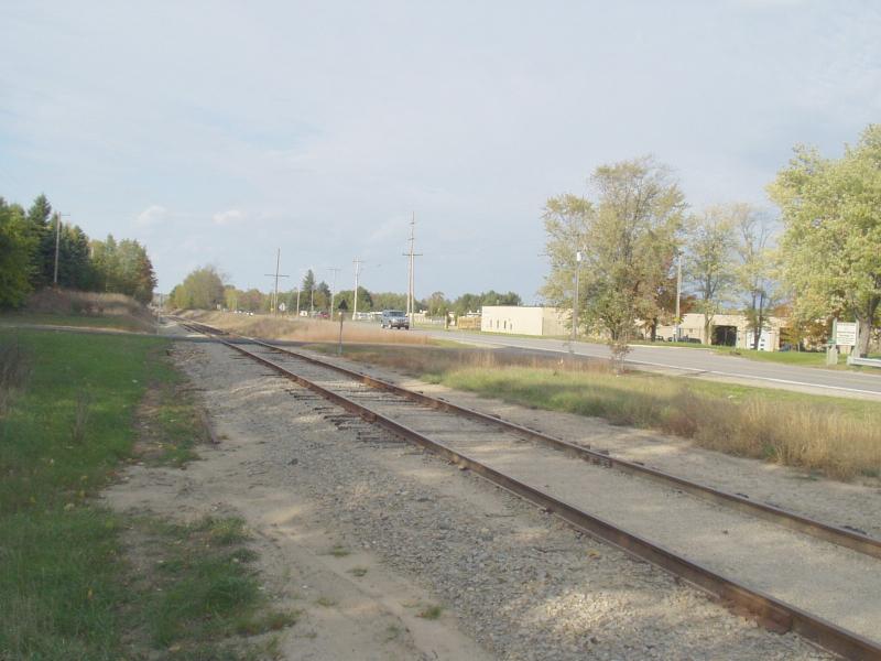
Railroad & Cass Rd
Crossing: Cass Road / Robbin's Creek
Garfield Twp,
Grand Traverse County
Information collected by:
GPS Coordinates: 44.70243
, -85.62589
T27N
R11W
Sec 27
Adjacent Land Owned by Private
Local Government
Local Government
Perch Height: 0.67 ft.
Severity: Severe
Site Location
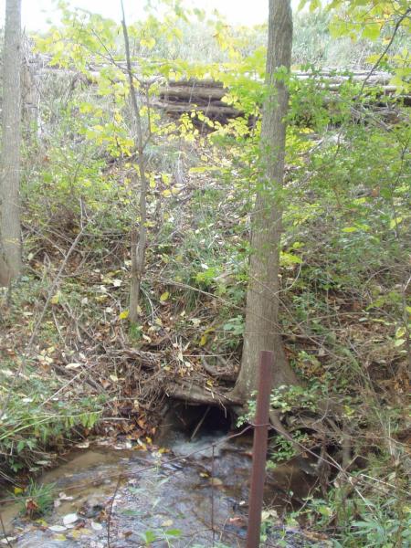
Inlet
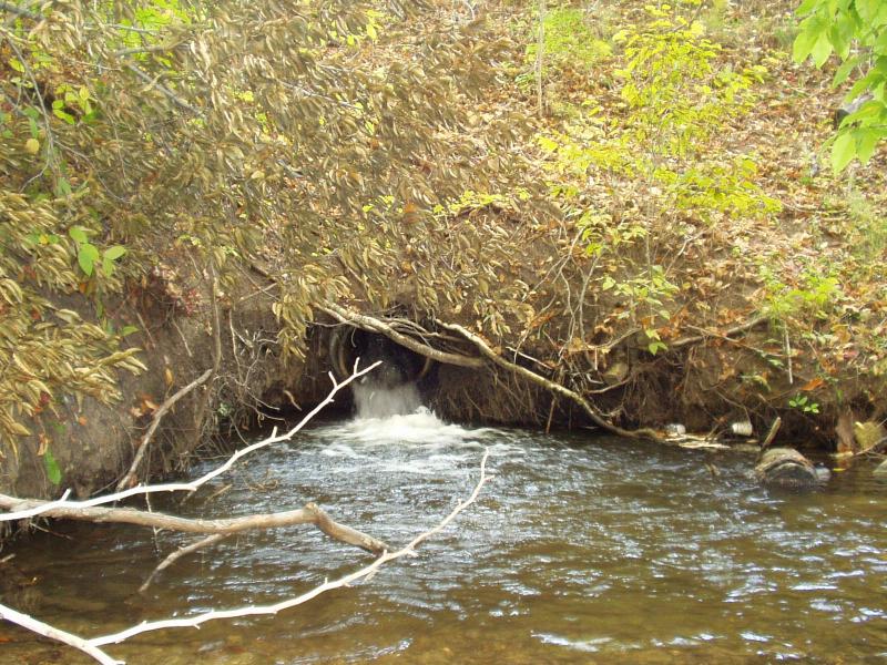
Outlet
Road Approach - Left

Road Approach - Right
Crossing Information
Road Width at Culvert: 21 ft.
Road Surface: Paved
Maintenance: year around
Low Point: Flat
Existing Drainage Control? no
Any Failings? no
Type of Crossing: culvert(s)
(single culvert)
Is this crossing constricted? yes
Are there adjacent wetlands? yes
Approaches
Left Approach
Slope: 0%
Vegetation: heavy
Right Approach
Slope: 0%
Vegetation: heavy
Culvert Information
Shape: round
Length: 125 ft.
Diameter: 1.5 ft diameter ft.
Material: steel
Condition :poor
Flow: fish passage problem
Perch Height: 0.67 ft.
Embankments
Upstream
Fill Depth: 18 ft.
Embankment Slope: 1:1 slope
Downstream
Fill Depth: 24 ft.
Embankment Slope: 1:1 slope
Stream Information
Upstream
Stream Width: 5 ft.
Stream Depth: 3 in.
Stream Current: fast
Stream Substrate: gravel
Downstream
Stream Width: 8 ft.
Stream Depth: 2 in.
Stream Current: fast
Stream Substrate: gravel
Erosion Information
Conditions
Is there Streambank erosion beside the crossing? yes
Is there embankment erosion? yes
Is there erosion at the culvert outlet? yes
Is there erosion at the shoulder and/or ditch? no
Is there pooling at the outlet? yes
Is there sand over the crossing? no
Extent of Erosion: severe
Cause of Erosion: Ridiculously inadequate culvert
Recommended Treatments
Action Recommended? yes
Add pavement? no
Add paved raised edge? no
Increase fill? no
Replace culvert(s)? no
Extend culvert(s)? no
Comments: Massive plunge pool at outlet. Approximately 12 ft wide, 36 inches deep.
Culvert replacement must be included in future work plans.
Culvert replacement must be included in future work plans.
Severity:Severe
This page last updated on 2/9/2022.
�