Road Stream Crossing Site S354
Boardman River Watershed, Miller Creek
Private Drive
Garfield Twp,
Grand Traverse County
Information collected by:
GPS Coordinates: 44.72069
, -85.63614
T27N
R11W
Sec 21, 22
Adjacent Land Owned by Private
Severity: None
Site Location
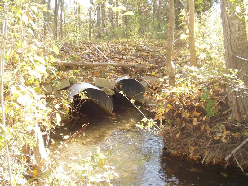
Inlet
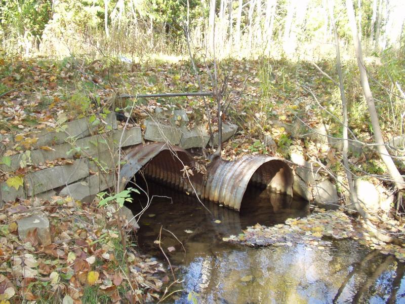
Outlet
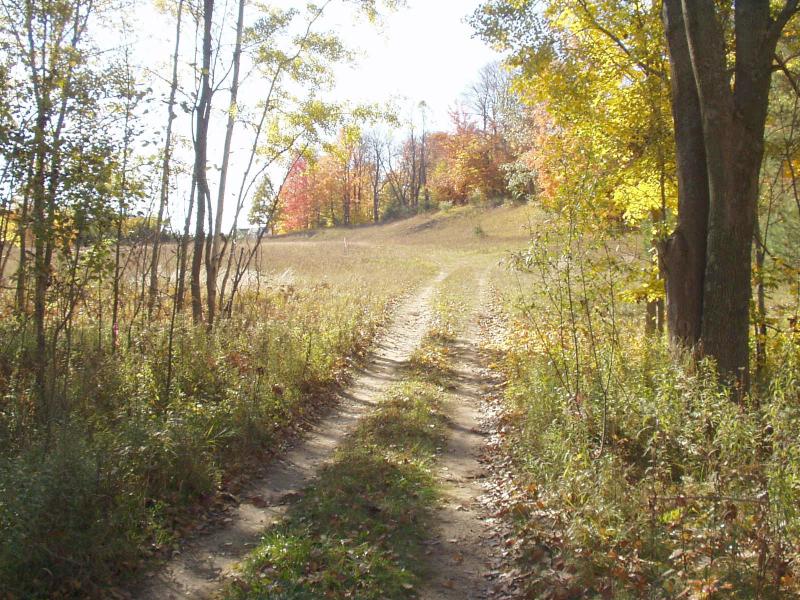
Road Approach - Left
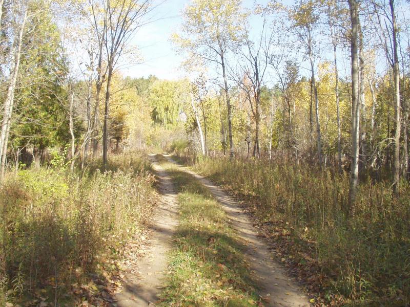
Road Approach - Right
Crossing Information
Road Width at Culvert: 6 ft.
Road Surface: Sand
Maintenance: seasonal
Low Point: At Stream
Existing Drainage Control? no
Any Failings? no
Type of Crossing: culvert(s)
(twin culvert)
Is this crossing constricted? yes
Are there adjacent wetlands? yes
Approaches
Left Approach
Slope: 1-5%
Vegetation: heavy
Right Approach
Slope: 1-5%
Vegetation: heavy
Culvert Information
Shape: round
Length: 22 ft.
Diameter: 2.5 ft diameter ft.
Material: galvanized
Flow: clear
Embankments
Upstream
Fill Depth: 3 ft.
Embankment Slope: 2:1 slope
Downstream
Fill Depth: 3 ft.
Embankment Slope: 2:1 slope
Stream Information
Upstream
Stream Width: 6 ft.
Stream Depth: 12 in.
Stream Current: moderate
Stream Substrate: gravel
Downstream
Stream Width: 8 ft.
Stream Depth: 8 in.
Stream Current: moderate
Stream Substrate: sand,gravel
Erosion Information
Conditions
Is there Streambank erosion beside the crossing? no
Is there embankment erosion? no
Is there erosion at the culvert outlet? no
Is there erosion at the shoulder and/or ditch? no
Is there pooling at the outlet? no
Is there sand over the crossing? no
Extent of Erosion: none
Recommended Treatments
Action Recommended? no
Add pavement? no
Add paved raised edge? no
Increase fill? no
Replace culvert(s)? no
Extend culvert(s)? no
Comments: Banks are reinforced with bricks and woody debris to protect against highwater erosion.
Severity:None
This page last updated on 2/9/2022.
�