Road Stream Crossing Site S481
Boardman River Watershed, North Branch Boardman River
Broomhead Rd
Crossing: Broomhead Road / North Branch Boardman River
Whitewater Twp,
Grand Traverse County
Information collected by:
GPS Coordinates: 44.69018
, -85.36712
T27N
R09W
Sec 35
Adjacent Land Owned by State
Severity: Minor
Site Location
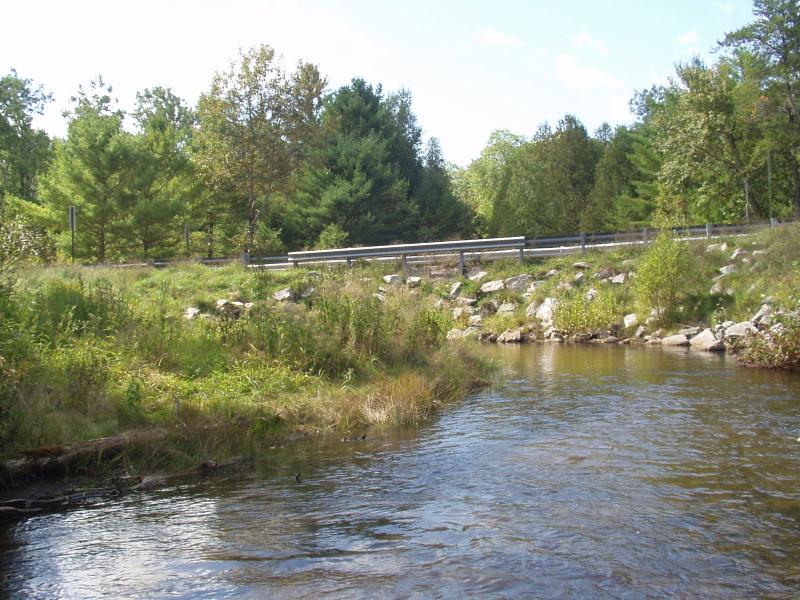
Inlet
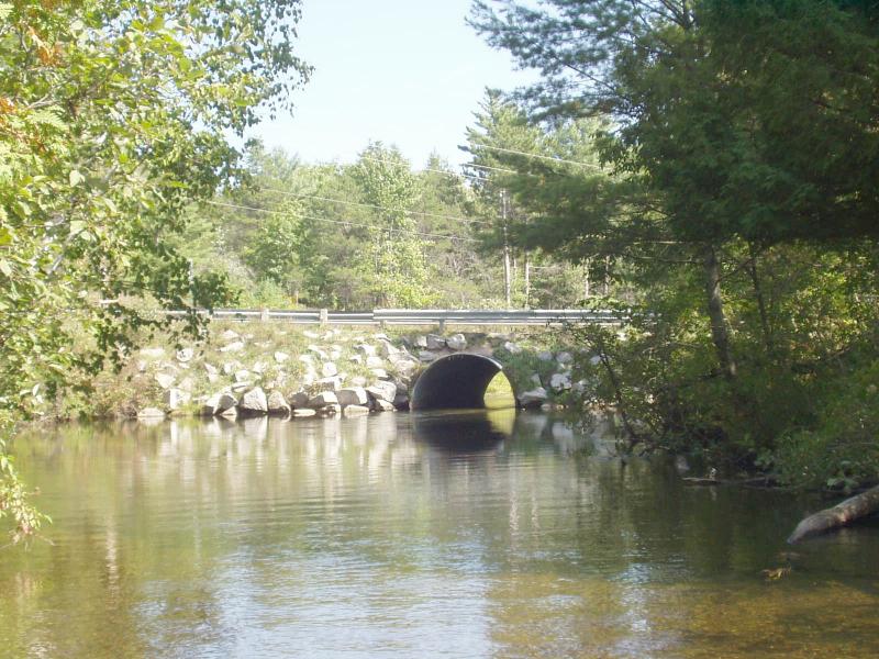
Outlet
Road Approach - Left
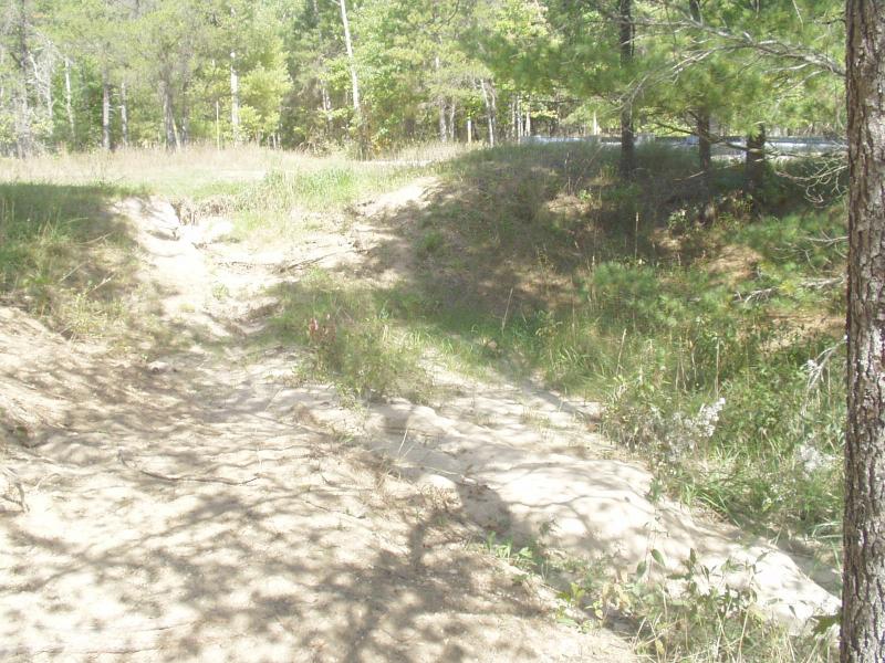
Road Approach - Right
Crossing Information
Road Surface: Paved
Maintenance: year around
Existing Drainage Control? yes
Any Failings? no
Type of Crossing: culvert(s)
(single culvert)
Is this crossing constricted? yes
Are there adjacent wetlands? yes
Comments: Cuold use more woody debris and plantings
Approaches
Left Approach
Slope: 0%
Vegetation: partial
Right Approach
Length: 120 ft.
Slope: 1-5%
Vegetation: partial
Culvert Information
Shape: round
Material: galvanized
Condition :good
Flow: clear
Embankments
Upstream
Fill Depth: 2.5 ft.
Embankment Slope: 1:1 slope
Downstream
Fill Depth: 2.5 ft.
Embankment Slope: 1:1 slope
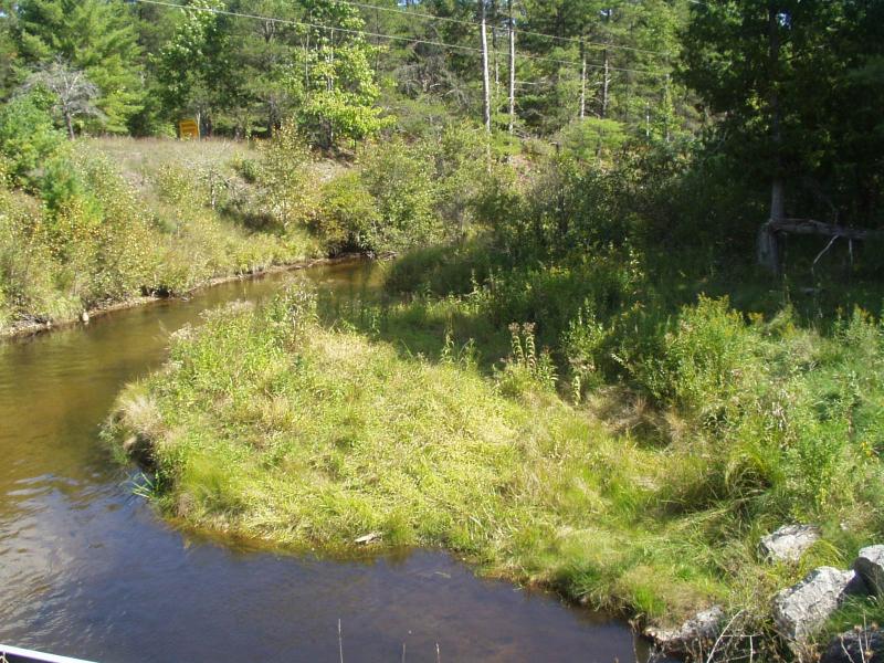
Stream Information
Upstream
Stream Width: 15 ft.
Stream Depth: 16 in.
Stream Current: moderate
Stream Substrate: sand
Downstream
Stream Width: 75 ft.
Stream Depth: 72 in.
Stream Current: slow
Stream Substrate: sand
Erosion Information
Conditions
Is there Streambank erosion beside the crossing? no
Is there embankment erosion? no
Is there erosion at the culvert outlet? no
Is there erosion at the shoulder and/or ditch? no
Is there pooling at the outlet? yes
Is there sand over the crossing? no
Extent of Erosion: minor
Recommended Treatments
Action Recommended? no
Add pavement? no
Add paved raised edge? no
Increase fill? no
Replace culvert(s)? no
Dimensions of replacement: open bottom structure
Extend culvert(s)? no
Comments: stream narrows to 30 ft wide downstream of plunge pool.
Severity:Minor
This page last updated on 2/9/2022.
�