Road Stream Crossing Site S426
Boardman River Watershed, Bancroft Creek
Marsh Rd
Crossing: Marsh Road / Bancroft Creek
Paradise Twp,
Grand Traverse County
Information collected by:
GPS Coordinates: 44.59893
, -85.4643
Adjacent Land Owned by Private
Severity: Minor
Site Location
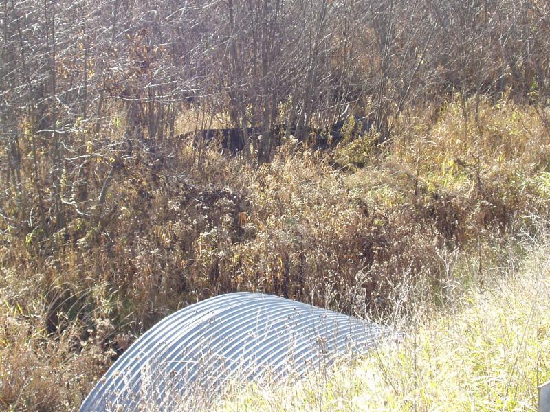
Inlet
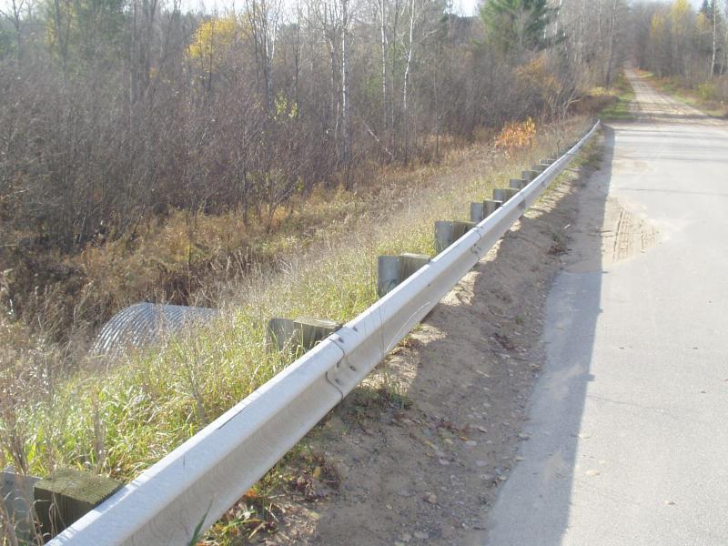
Road Approach - Left
Crossing Information
Road Surface: Paved
Maintenance: seasonal
Low Point: East end of pavement
Existing Drainage Control? yes
Any Failings? no
Type of Crossing: culvert(s)
(single culvert)
Is this crossing constricted? no
Are there adjacent wetlands? yes
Approaches
Left Approach
Slope: 1-5%
Vegetation: heavy
Right Approach
Slope: 1-5%
Vegetation: heavy
Culvert Information
Shape: arc pipe
Diameter: 10 ft wide, 6 ft tall ft.
Material: galvanized
Condition :good
Flow: clear
Embankments
Upstream
Fill Depth: 6 ft.
Embankment Slope: 1.5:1 slope
Downstream
Fill Depth: 6 ft.
Embankment Slope: 1.5:1 slope
Stream Information
Upstream
Stream Width: 8 ft.
Stream Depth: 4 in.
Stream Current: moderate
Stream Substrate: sand
Downstream
Stream Width: 8 ft.
Stream Depth: 4 in.
Stream Current: moderate
Stream Substrate: sand,gravel
Erosion Information
Conditions
Is there Streambank erosion beside the crossing? no
Is there embankment erosion? no
Is there erosion at the culvert outlet? no
Is there erosion at the shoulder and/or ditch? no
Is there pooling at the outlet? no
Is there sand over the crossing? yes
Extent of Erosion: minor
Recommended Treatments
Action Recommended? no
Add pavement? no
Add paved raised edge? no
Increase fill? no
Replace culvert(s)? no
Extend culvert(s)? no
Comments: Location: common line between
S1 T25N R10W MI & S36 T26N R10W MI
Road is wider than necessary for a seasonal road.
Sand is building up on the south side of the road.
Silt fencing still needs to be removed.
S1 T25N R10W MI & S36 T26N R10W MI
Road is wider than necessary for a seasonal road.
Sand is building up on the south side of the road.
Silt fencing still needs to be removed.
Severity:Minor
This page last updated on 2/9/2022.
�