Road Stream Crossing Site S057
Boardman River Watershed, Beitner Creek
Williams Rd
Crossing: Williams Road / Beitner Creek
Blair Twp,
Grand Traverse County
Information collected by:
GPS Coordinates: 44.67327
, -85.63611
T26N
R11W
Sec 3, 4
Adjacent Land Owned by Private
Severity: Moderate
Site Location
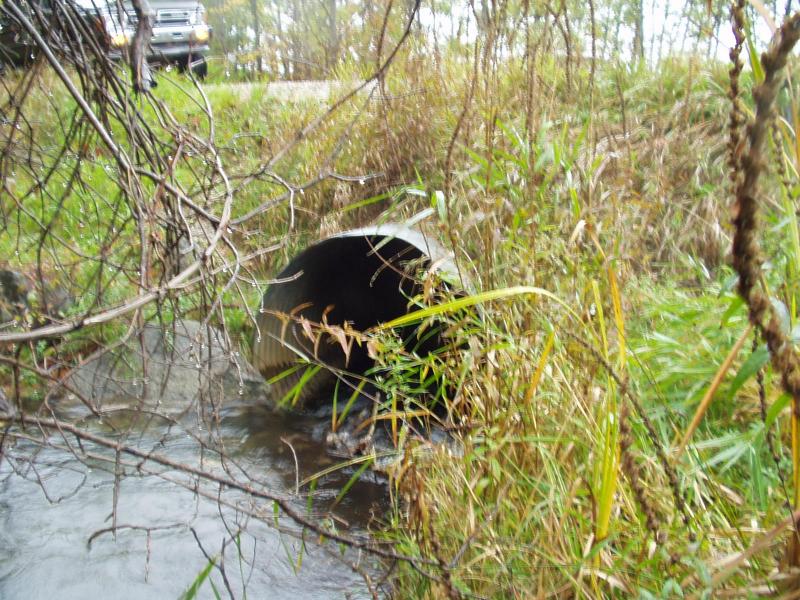
Inlet
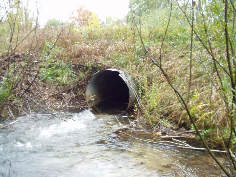
Outlet
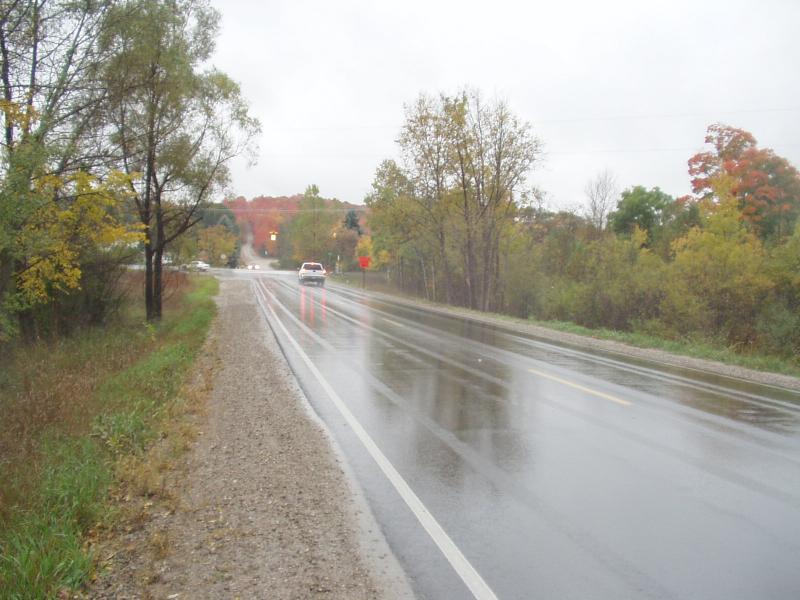
Road Approach - Left
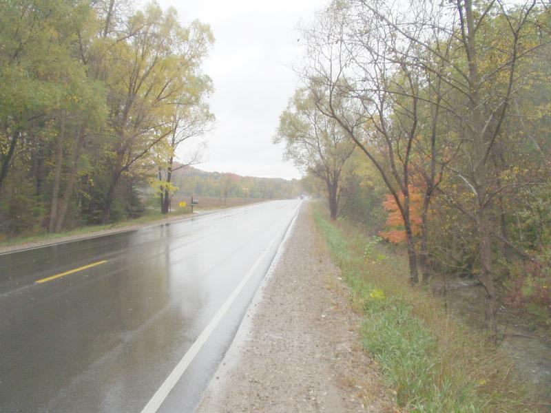
Road Approach - Right
Crossing Information
Road Width at Culvert: 22 ft.
Road Surface: Paved
Maintenance: year around
Low Point: At Stream
Existing Drainage Control? yes
Any Failings? no
Type of Crossing: culvert(s)
(single culvert)
Is this crossing constricted? no
Are there adjacent wetlands? yes
Approaches
Left Approach
Slope: 0%
Vegetation: heavy
Right Approach
Slope: 0%
Vegetation: heavy
Culvert Information
Shape: round
Length: 50 ft.
Diameter: 4 ft diameter ft.
Material: galvanized
Condition :good
Flow: clear
Embankments
Upstream
Fill Depth: 3 ft.
Embankment Slope: 1:1 slope
Downstream
Fill Depth: 3 ft.
Embankment Slope: 1:1 slope
Stream Information
Upstream
Stream Width: 8 ft.
Stream Depth: 18 in.
Stream Current: moderate
Stream Substrate: sand,gravel
Downstream
Stream Width: 15 ft.
Stream Depth: 4 in.
Stream Current: fast
Stream Substrate: gravel
Erosion Information
Conditions
Is there Streambank erosion beside the crossing? no
Is there embankment erosion? yes
Is there erosion at the culvert outlet? no
Is there erosion at the shoulder and/or ditch? yes
Is there pooling at the outlet? yes
Is there sand over the crossing? yes
Extent of Erosion: moderate
Cause of Erosion: Road runoff, soft shoulder, current accelerated through culvert
Recommended Treatments
Action Recommended? yes
Add pavement? no
Add paved raised edge? yes
Increase fill? no
Replace culvert(s)? no
Extend culvert(s)? no
Comments: Deep plunge pool at outlet but culvert isn't perched. Pool has rock / gravel bottom, not an erosive pool.
Severity:Moderate
This page last updated on 2/9/2022.
�