Road Stream Crossing Site S896
Boardman River Watershed, Beitner Creek
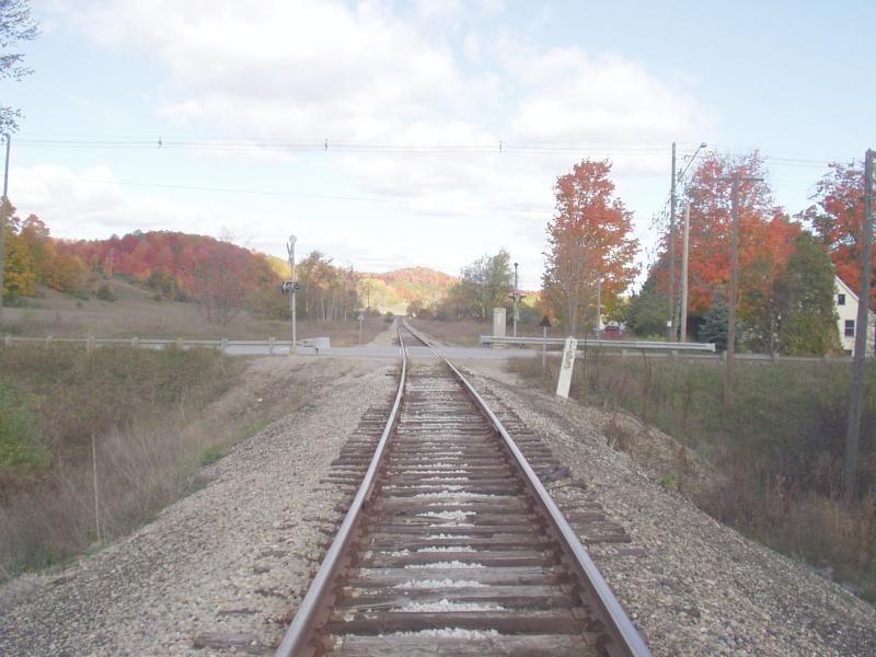
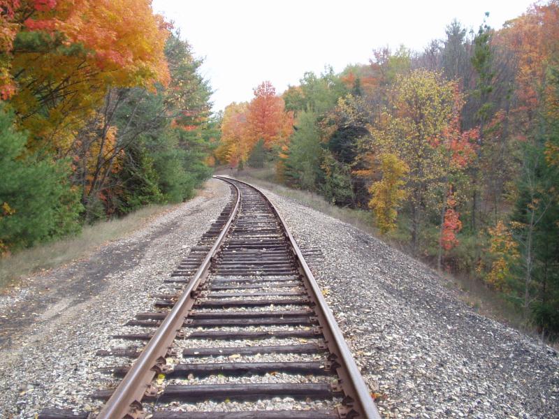
Railroad
Blair Twp,
Grand Traverse County
Information collected by:
GPS Coordinates: 44.67167
, -85.63709
T26N
R11W
Sec 9
Adjacent Land Owned by State
Severity: Severe
Site Location
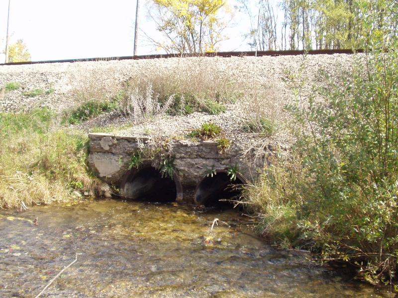
Inlet
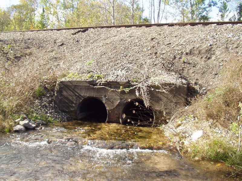
Outlet
Road Approach - Left
Road Approach - Right
Crossing Information
Existing Drainage Control? no
Any Failings? no
Type of Crossing: culvert(s)
(twin culvert)
Is this crossing constricted? yes
Are there adjacent wetlands? yes
Approaches
Left Approach
Right Approach
Culvert Information
Shape: round
Diameter: 2.5 ft diameter ft.
Material: steel
Condition :poor
Flow: clear
Embankments
Upstream
Embankment Slope: 1:1 slope
Downstream
Embankment Slope: 1:1 slope
Stream Information
Upstream
Stream Width: 15 ft.
Stream Depth: 4 in.
Stream Current: fast
Stream Substrate: gravel
Downstream
Stream Width: 18 ft.
Stream Depth: 3 in.
Stream Current: fast
Stream Substrate: gravel
Erosion Information
Conditions
Is there Streambank erosion beside the crossing? no
Is there embankment erosion? yes
Is there erosion at the culvert outlet? yes
Is there erosion at the shoulder and/or ditch? no
Is there pooling at the outlet? no
Is there sand over the crossing? no
Extent of Erosion: severe
Cause of Erosion: railroad grade is washing into creek
Recommended Treatments
Action Recommended? yes
Add pavement? no
Add paved raised edge? no
Increase fill? no
Replace culvert(s)? no
Extend culvert(s)? no
Other Treatments: Add better gravel, remove wire fencing just upstream of crossing
Comments: Concrete surroundng the steel culverts is failing.
Severity:Severe
This page last updated on 2/9/2022.
�