Road Stream Crossing Site S753
Boardman River Watershed, Bancroft Creek
M-113
Crossing: M-113 / Bancroft Creek
Paradise Twp,
Grand Traverse County
Information collected by:
GPS Coordinates: 44.58458
, -85.46096
T25N
R10W
Sec 1, 12
Adjacent Land Owned by Private
Severity: Minor
Site Location
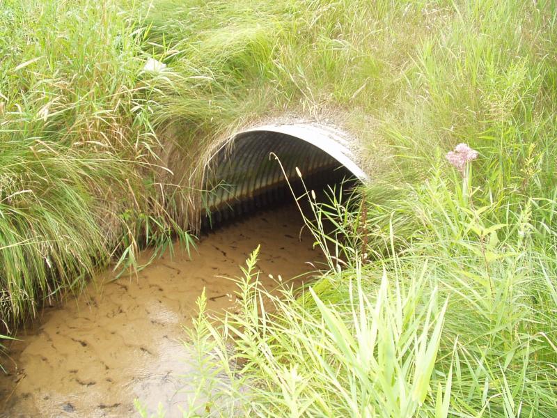
Inlet
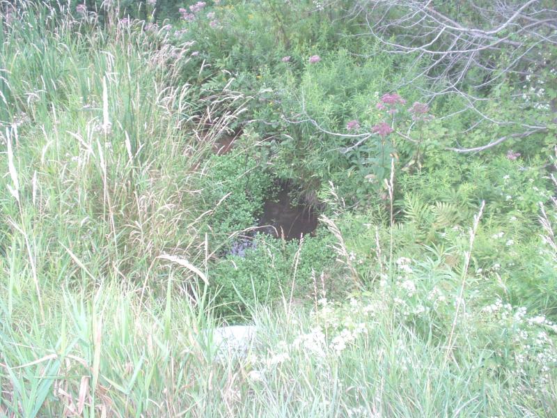
Outlet
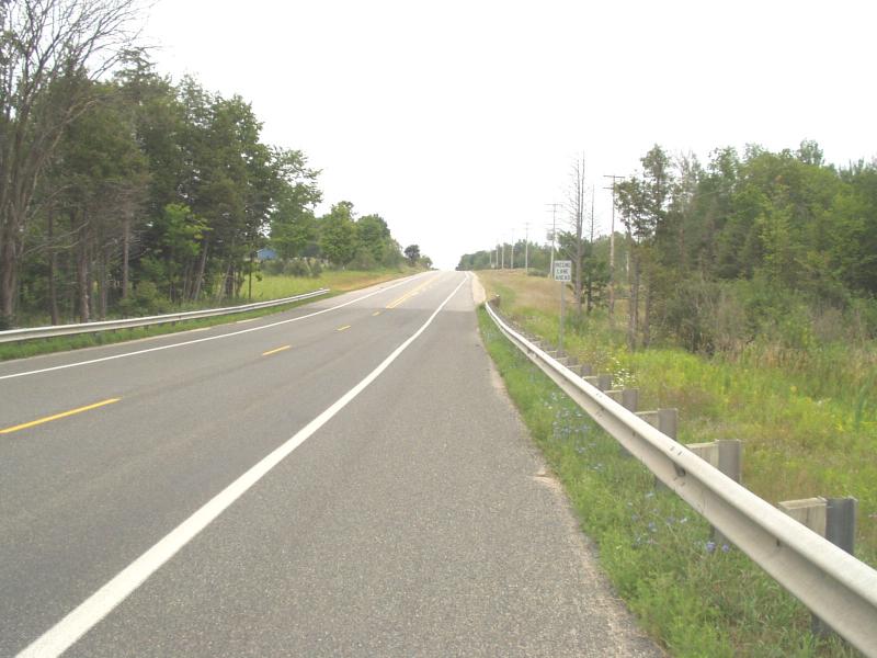
Road Approach - Left
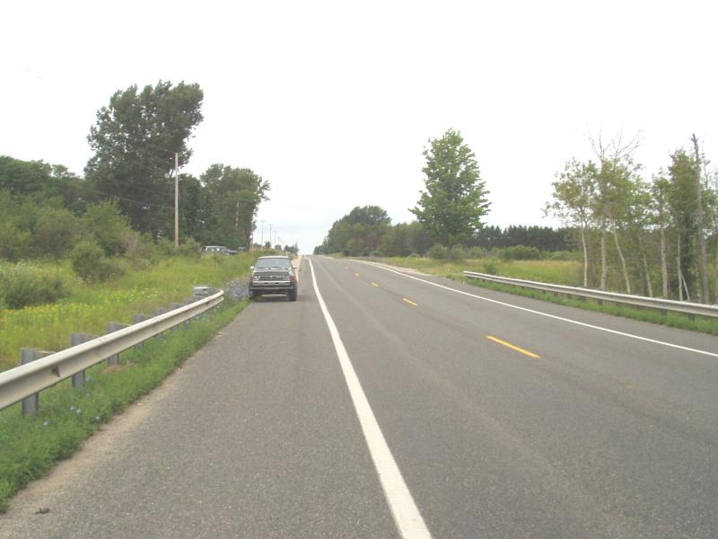
Road Approach - Right
Crossing Information
Road Surface: Paved
Maintenance: year around
Low Point: At Stream
Existing Drainage Control? no
Any Failings? no
Type of Crossing: culvert(s)
(single culvert)
Is this crossing constricted? yes
Are there adjacent wetlands? yes
Comments: Strean is constricted by sediment build up around in and around crossing
Approaches
Left Approach
Slope: 1-5%
Vegetation: heavy
Right Approach
Slope: 1-5%
Vegetation: heavy
Culvert Information
Shape: arc pipe
Diameter: 5.5 ft wide, 3.5 ft tall ft.
Material: galvanized
Condition :good
Flow: obstructed
Embankments
Upstream
Embankment Slope: 1:1 slope
Downstream
Embankment Slope: 1:1 slope
Stream Information
Upstream
Stream Width: 5 ft.
Stream Depth: 2 in.
Stream Current: moderate
Stream Substrate: sand
Downstream
Stream Width: 5 ft.
Stream Depth: 2 in.
Stream Current: moderate
Stream Substrate: sand
Erosion Information
Conditions
Is there Streambank erosion beside the crossing? yes
Is there embankment erosion? no
Is there erosion at the culvert outlet? no
Is there erosion at the shoulder and/or ditch? no
Is there pooling at the outlet? yes
Is there sand over the crossing? no
Extent of Erosion: minor
Cause of Erosion: storm flows
Recommended Treatments
Action Recommended? yes
Add pavement? no
Add paved raised edge? no
Increase fill? no
Replace culvert(s)? no
Extend culvert(s)? no
Comments: Lots of sand at crossing, turns to gravel downstream, and then back to sand.
Treatments: Cover structures and rock rip rap on right bank just downstream of crossing. Sediment piles that are constricting flow should be cleaned out.
Treatments: Cover structures and rock rip rap on right bank just downstream of crossing. Sediment piles that are constricting flow should be cleaned out.
Severity:Minor
This page last updated on 2/9/2022.
�