Road Stream Crossing Site S906
Boardman River Watershed, Miller Creek Tributary
McRae Hill Rd
Crossing: McRae Hill Road / Miller Creek Tributary
Garfield Twp,
Grand Traverse County
Information collected by:
GPS Coordinates: 44.71613
, -85.64825
T27N
R11W
Sec 21
Adjacent Land Owned by Private
Severity: Severe
Site Location
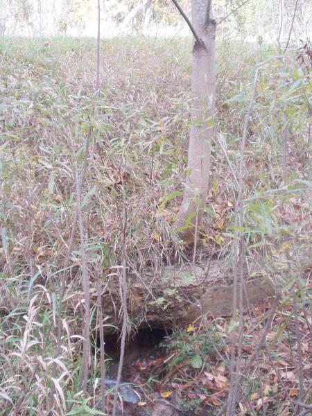
Inlet
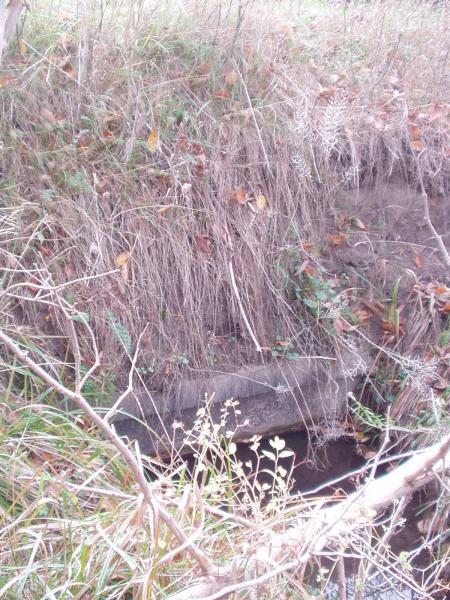
Outlet
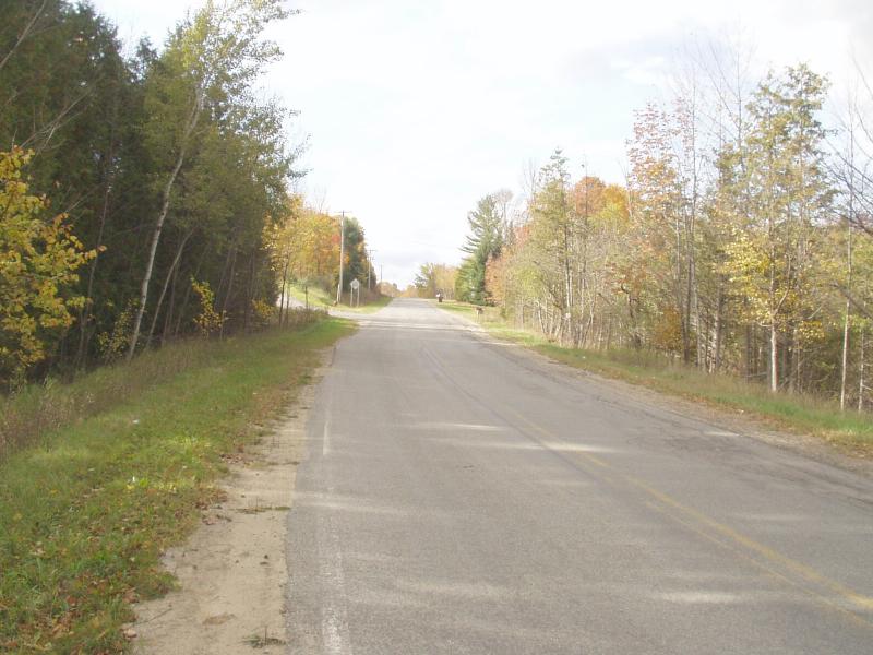
Road Approach - Left
Road Approach - Right
Crossing Information
Road Width at Culvert: 20 ft.
Road Surface: Paved
Maintenance: year around
Low Point: At Stream
Existing Drainage Control? no
Any Failings? no
Type of Crossing: culvert(s)
(single culvert)
Is this crossing constricted? yes
Are there adjacent wetlands? yes
Approaches
Left Approach
Slope: 1-5%
Vegetation: heavy
Right Approach
Slope: 1-5%
Vegetation: heavy
Culvert Information
Shape: round
Length: 55 ft.
Diameter: 2.5 ft diameter ft.
Material: concrete
Condition :poor
Flow: obstructed
Embankments
Upstream
Fill Depth: 4 ft.
Embankment Slope: 1:1 slope
Downstream
Fill Depth: 4 ft.
Embankment Slope: 1:1 slope
Stream Information
Upstream
Stream Width: 2 ft.
Stream Depth: 3 in.
Stream Current: moderate
Stream Substrate: sand
Downstream
Stream Width: 2 ft.
Stream Depth: 3 in.
Stream Current: moderate
Stream Substrate: sand
Erosion Information
Conditions
Is there Streambank erosion beside the crossing? no
Is there embankment erosion? yes
Is there erosion at the culvert outlet? yes
Is there erosion at the shoulder and/or ditch? no
Is there pooling at the outlet? no
Is there sand over the crossing? no
Extent of Erosion: severe
Cause of Erosion: Inadequate culvert
Recommended Treatments
Action Recommended? yes
Add pavement? no
Add paved raised edge? no
Increase fill? no
Replace culvert(s)? no
Dimensions of replacement: round, galvanized, 3 ft diameter, 60 ft long
Extend culvert(s)? no
Other Treatments: Rock rip rap, revegetation
Comments: Culvert is 90% obstructed by sand.
Severity:Severe
This page last updated on 2/9/2022.
�