Road Stream Crossing Site S396
Boardman River Watershed, North Branch Boardman River
Pipeline Rd
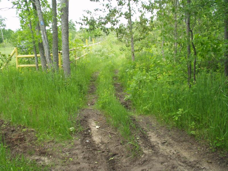
Crossing: Horse Trail
Kalkaska County
Information collected by:
GPS Coordinates: 44.77187
, -85.10162
Adjacent Land Owned by Private
Severity: Restored
Site Location
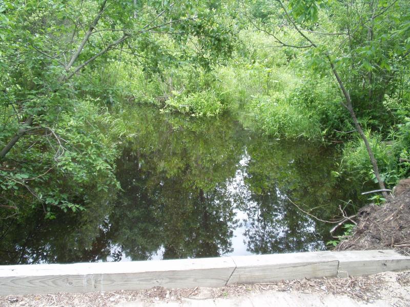
Inlet
Outlet
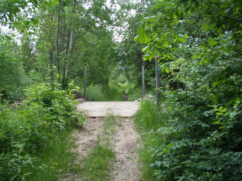
Road Approach - Left
Road Approach - Right
Crossing Information
Existing Drainage Control? no
Any Failings? no
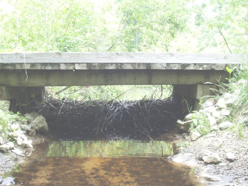
Type of Crossing: Bridge
Is this crossing constricted? no
Are there adjacent wetlands? no
Approaches
Left Approach
Right Approach
Culvert Information
Embankments
Upstream
Downstream
Stream Information
Upstream
Downstream
Erosion Information
Conditions
Is there Streambank erosion beside the crossing? no
Is there embankment erosion? no
Is there erosion at the culvert outlet? no
Is there erosion at the shoulder and/or ditch? no
Is there pooling at the outlet? no
Is there sand over the crossing? no
Extent of Erosion: none
Recommended Treatments
Action Recommended? no
Add pavement? no
Add paved raised edge? no
Increase fill? no
Replace culvert(s)? no
Extend culvert(s)? no
Comments: Location is the common line between Rapid River Township (S36 T28N R7W) and Kalkaska Township (S1 T27N R7W). Fresh beaver activity underneath bridge. Contact MichCon about future maintenance. ORVs are making a new trail around the barrier. This is NOT
Severity:Restored
This page last updated on 2/9/2022.
�