Road Stream Crossing Site S704
Boardman River Watershed, Carpenter Creek
Private Trail
Union Twp,
Grand Traverse County
Information collected by:
GPS Coordinates: 44.64626
, -85.40647
T26N
R09W
Sec 16
Adjacent Land Owned by Private
Perch Height: 0.25 ft.
Severity: None
Site Location
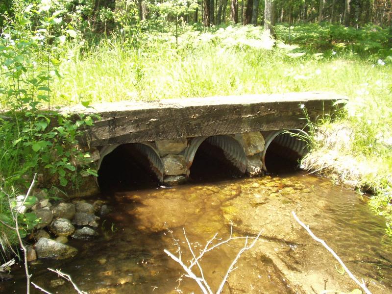
Inlet
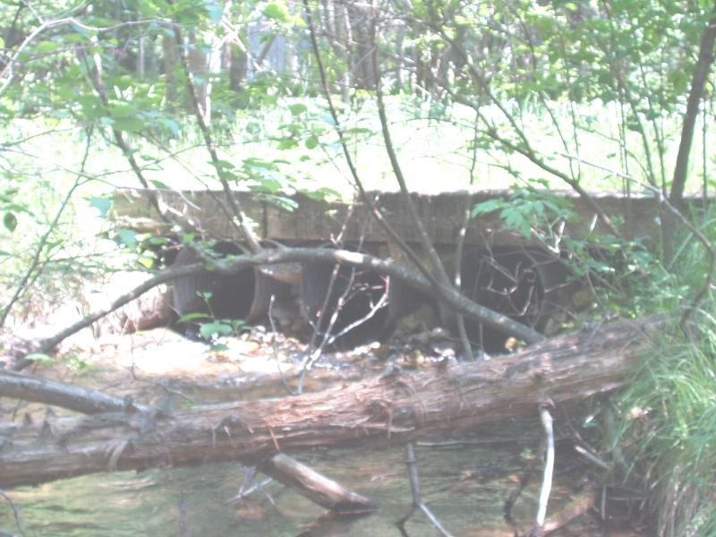
Outlet
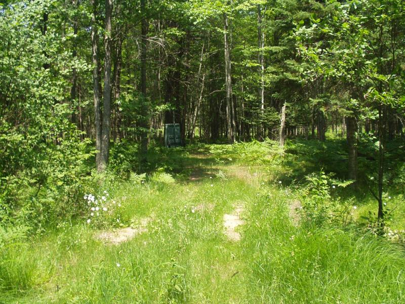
Road Approach - Left
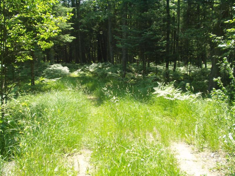
Road Approach - Right
Crossing Information
Road Width at Culvert: 11.5 ft.
Road Surface: Gravel
Existing Drainage Control? no
Any Failings? no
Type of Crossing: culvert(s)
(triple culvert)
Is this crossing constricted? yes
Are there adjacent wetlands? yes
Approaches
Left Approach
Slope: 0%
Vegetation: heavy
Right Approach
Slope: 0%
Vegetation: heavy
Culvert Information
Shape: round
Length: 14 ft.
Diameter: 2 ft diameter ft.
Material: galvanized
Condition :good
Flow: fish passage problem
Perch Height: 0.25 ft.
Embankments
Upstream
Fill Depth: 1 ft.
Embankment Slope: vertical
Downstream
Fill Depth: 1 ft.
Embankment Slope: vertical
Stream Information
Upstream
Stream Width: 6 ft.
Stream Depth: 9 in.
Stream Current: moderate
Stream Substrate: sand
Downstream
Stream Width: 7 ft.
Stream Depth: 3 in.
Stream Current: moderate
Stream Substrate: sand,gravel
Erosion Information
Conditions
Is there Streambank erosion beside the crossing? no
Is there embankment erosion? no
Is there erosion at the culvert outlet? no
Is there erosion at the shoulder and/or ditch? no
Is there pooling at the outlet? no
Is there sand over the crossing? no
Extent of Erosion: none
Recommended Treatments
Action Recommended? yes
Add pavement? no
Add paved raised edge? no
Increase fill? no
Replace culvert(s)? no
Dimensions of replacement: 6 ft wide low-profile box
Extend culvert(s)? no
Comments: This crossing should be removed because it appears to get little use. However, it is probable that the property owner would like to keep it in place, so a culvert replacement is recommended. The crossing is stable as wooden beams (6" x 6") lining the tr
Severity:None
This page last updated on 2/9/2022.
�