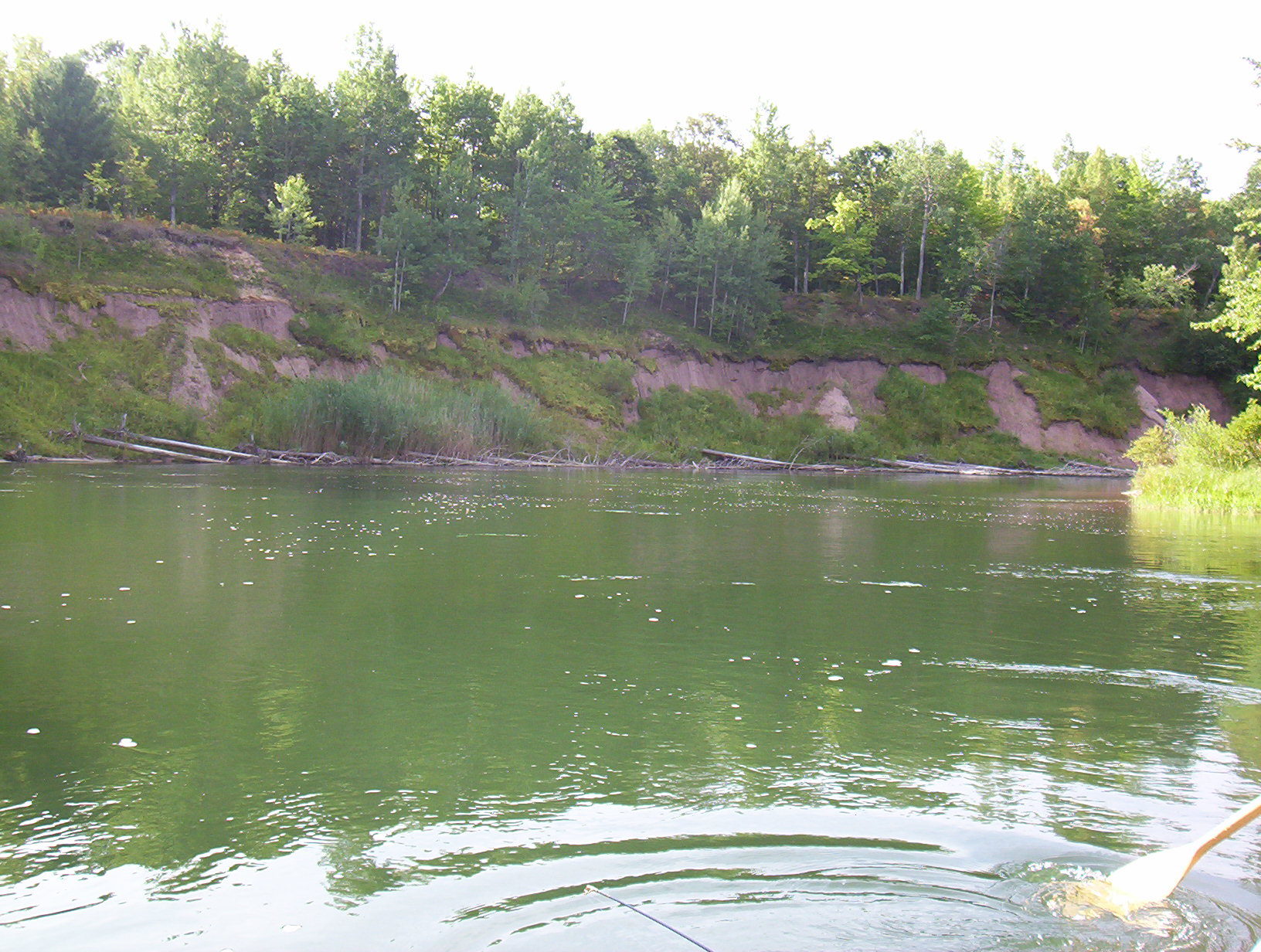
Stream Bank Erosion Site BGMN-081
Total Severity: Minor
Total Points: 27
Information collected by:
Big Manistee River Watershed,
Dickson Twp,
Manistee County
GPS Coordinates: 44.32447
, -85.84765
T22N
R13W
Sec 11
Owned by Federal
Bank Details
Which Bank? Left
Bank Aspect:W
Condition:Toe is stable; upper bank eroding
Erosion Trend:Increasing
Percent Veg. Cover: 50-100%
Bank Conditions
Stream Width:100 ft.
Stream Depth:4 ft.
Stream Current:Slow
Eroded Bank Length:500 ft.
Eroded Bank Height:50 ft.
Slope of Eroded Bank:3:1
Texture: Clay
Cause(s) of Erosion
-Bend in river
-Bank seepage
Recommended Treatment(s)
-Tree revetments
General Information
LWD Helicopter drop site
Total Points
27
�