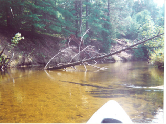
Stream Bank Erosion Site MR-04
Total Severity: Severe
Total Points: 37
Information collected by:
Maple River Watershed,
Maple River Twp,
Emmet County
GPS Coordinates: 45.5036
, -84.75359
T36N
R4W
Sec 14
Bank Details
Which Bank? Left
Bank Aspect:N
Condition:Both toe and upper bank eroding
Erosion Trend:Increasing
Percent Veg. Cover: 0-10%
Bank Conditions
Stream Width:25 ft.
Stream Depth:2 ft.
Stream Current:Slow
Eroded Bank Length:100 ft.
Eroded Bank Height:18 ft.
Slope of Eroded Bank:1:1
Texture: Sand
Cause(s) of Erosion
-Bend in river
Other causes: steep bank, sand
Recommended Treatment(s)
-Bank revegetation
-Rock riprap
Other Treatments:shrubs on rock, log terracing
General Information
no hunting signs. White pines, sand
Total Points
37
�