Stream Bank Erosion Site MR-06
Total Severity: Moderate
Total Points: 32
Information collected by:
Maple River Watershed,
Maple River Twp,
Emmet County
GPS Coordinates: 45.54453
, -84.79119
T36N
R4W
Sec 3
Bank Details
Which Bank? Right
Bank Aspect:XXX
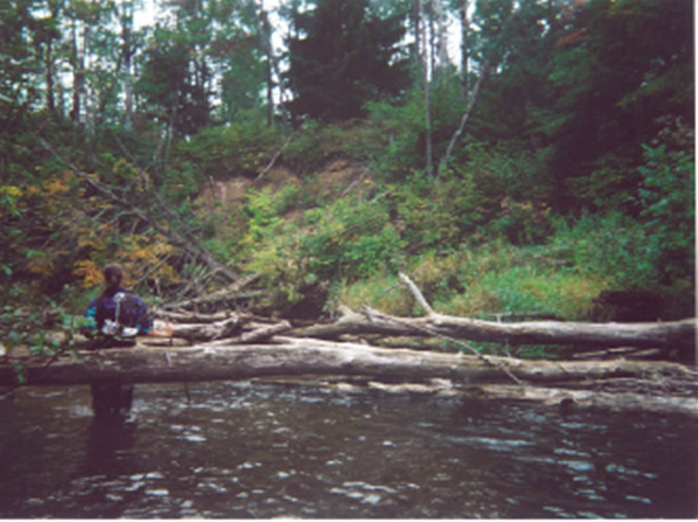
Condition:Toe is stable; upper bank eroding
Erosion Trend:Increasing
Percent Veg. Cover: 10-50%
Bank Conditions
Stream Width:33 ft.
Stream Depth:2 ft.
Stream Current:Slow
Eroded Bank Length:30 ft.
Eroded Bank Height:30 ft.
Slope of Eroded Bank:1:1
Texture: Sand
Cause(s) of Erosion
-Bend in river
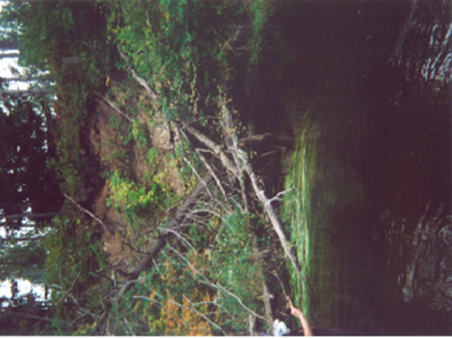
Other causes: trees down, steep high bank
Recommended Treatment(s)
-Bank revegetation
Other Treatments:log terracing
General Information
logs across river upstream, bend raw bank on right, aspen and birch on top.
Total Points
32
�