Stream Bank Erosion Site MR-07
Total Severity: Moderate
Total Points: 30
Information collected by:
Maple River Watershed,
Maple River Twp,
Emmet County
GPS Coordinates: 45.54288
, -84.78775
T36N
R4W
Sec 3
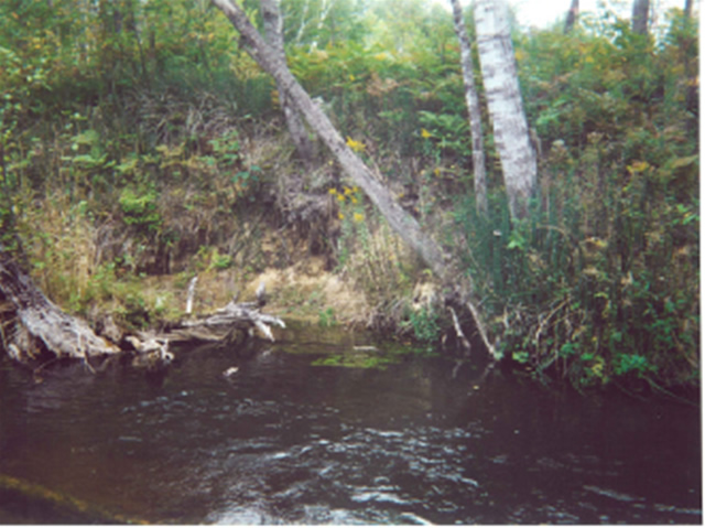
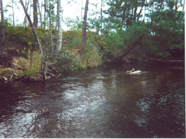
Bank Details
Which Bank? Left
Bank Aspect:XXX
Condition:Both toe and upper bank eroding
Erosion Trend:Increasing
Percent Veg. Cover: 50-100%
Bank Conditions
Stream Width:33 ft.
Stream Depth:2 ft.
Stream Current:Slow
Eroded Bank Length:30 22 ft.
Eroded Bank Height:5 ft.
Slope of Eroded Bank:1:1
Texture: Sand
Cause(s) of Erosion
-Bend in river
Other causes: steep bank
Recommended Treatment(s)
-Bank revegetation
-Tree revetments
General Information
flat above bank with aspen
Total Points
30
�